|
March 26-28, 2009 BLIZZARD AND HEAVY SNOW
|
|
A historic late season blizzard struck the Panhandles beginning in the evening of Thursday, March 26 and continued through the morning of Saturday, March 28, 2009. Although it is not unprecedented to see snowstorms and blizzards in March in the Texas and Oklahoma Panhandles, this was one of the latest heavy snow events on record. |
|
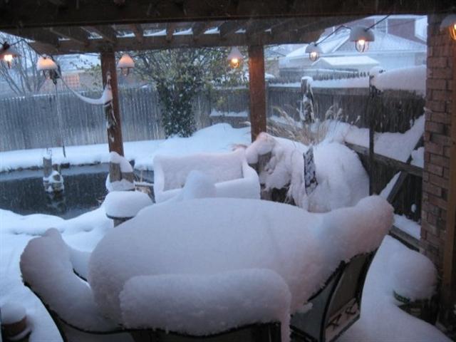
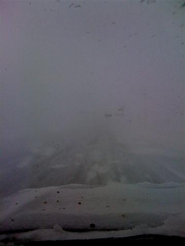
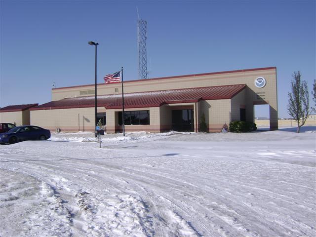
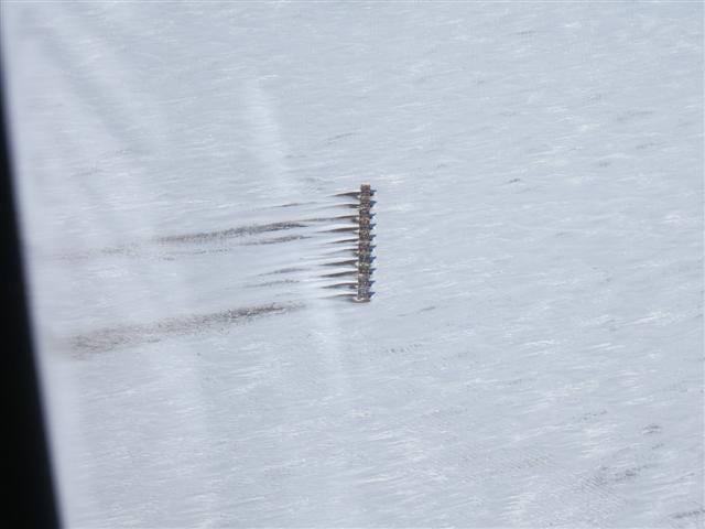
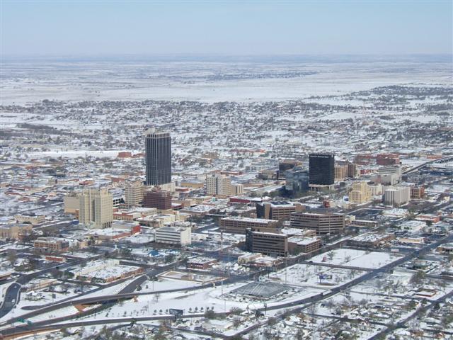
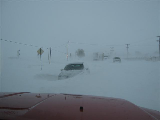
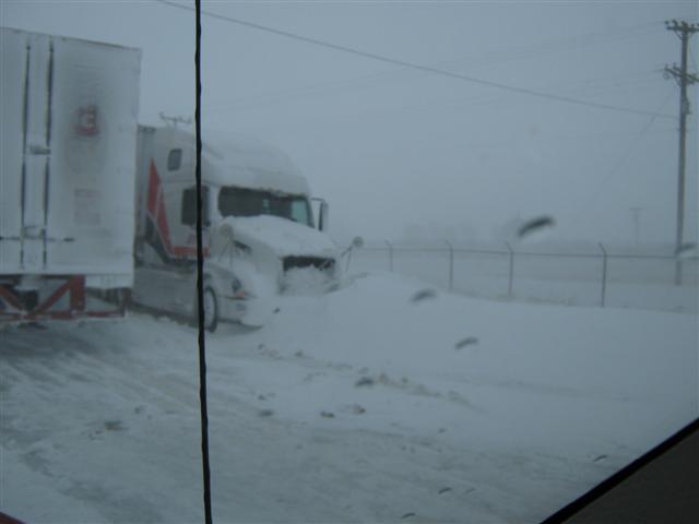
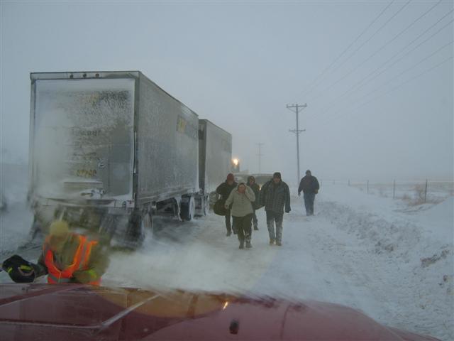
Here are a few of the photographs we've received from around the Panhandles. Please click on on of the images to view a larger version. |
|
|
 |
 |
 |
|
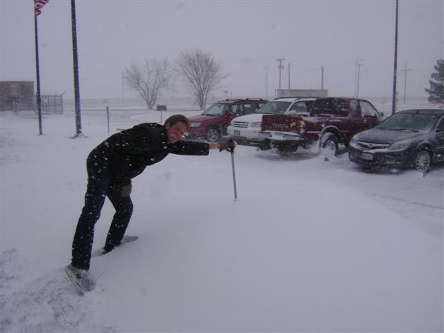
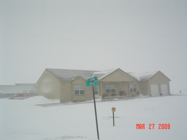
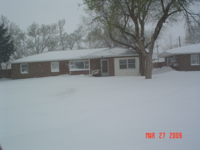
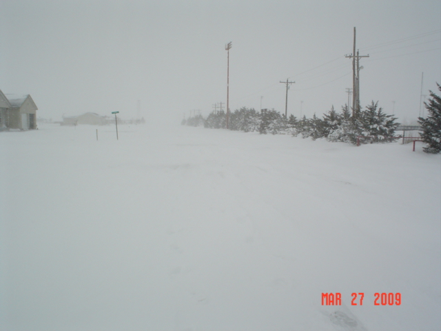
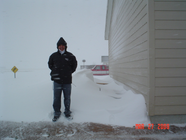
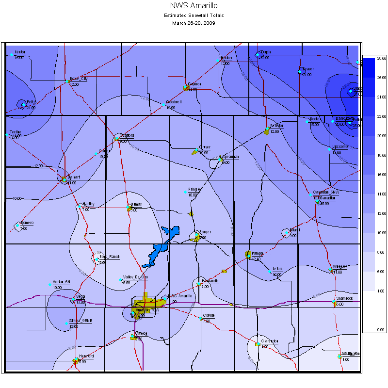
Above: Amarillo area including the NWS and surrounding locations. |
|||
 |
 |
|
 |
|
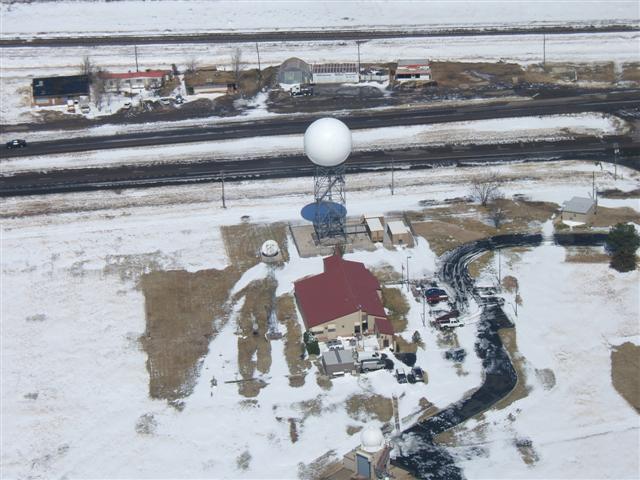
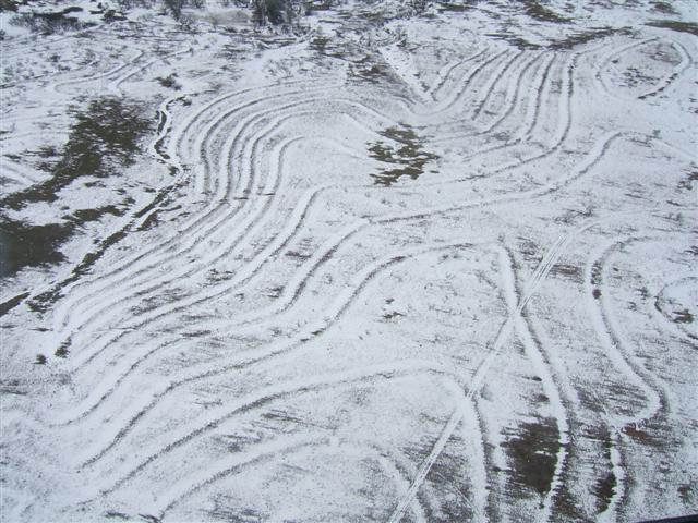
Above: Aerial photographs from around Amarillo and other Panhandle locations taken from a DPS Helicopter. |
|||
 |
 |
 |
 |
|
Above: Photographs from the Dalhart area taken by Curtis Brown. |
|||
 |
 |
 |
 |
|
Above: Turpin, Oklahoma photos taken by Karl Brown. |
|||
|
Amarillo received 11.0 inches of snowfall from March 27-28, 2009. This ranks as the fifth largest snowfall from any snowstorm in the month of March. It is also the second latest snowfall of 10 inches or more. Below is a list of the largest snowfall events to occur after March 1, updated to include this year's blizzard. |
| RANK | SNOWFALL (INCHES) | DATE |
| 1 | 20.6 | March 25-26, 1934 |
| 2 | 12.4 | March 14-16, 2005 |
| 3 | 12.0 | March 29-30, 1926 |
| 4 | 11.1 | March 23-24, 1957 |
| 5 | 11.0 | March 27-28, 2009 |
| 6 | 9.1 | May 6-7, 1917 |
| 7 | 8.2 | March 27-28, 1970 |
| 8 | 8.2 | April 19-22, 1907 |
| 9 | 8.0 | March 27, 1931 |
| 10 | 7.9 | April 10, 1926 |
|
Total Snowfall Accumulations |
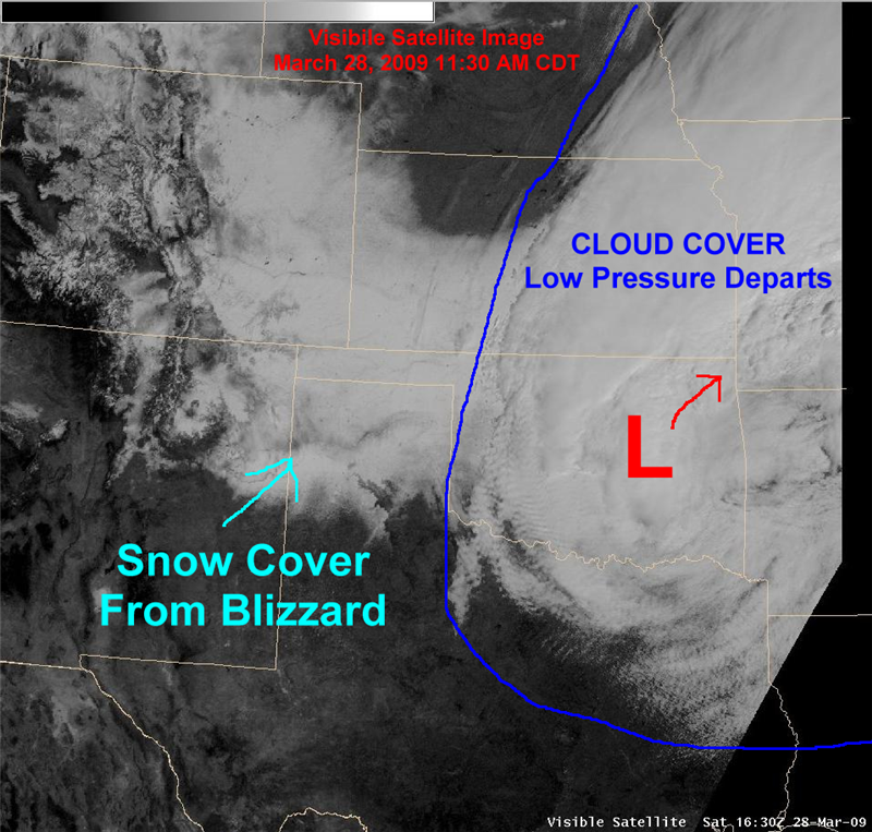
Snow Cover Visible From Space |
 |
|
|
Below is a list of snowfall reports received from law enforcement, storm spotters, cooperative observers, broadcast media, and the general public. These snowfall reports should be considered estimates as very strong winds made accurate snowfall measurements very difficult due to significant blowing and drifting snow. The National Weather Service would like to thank everyone who provided us with snowfall reports from this event! |
| LOCATION | SNOWFALL (INCHES) | SNOW DRIFTS |
| NWS Amarillo | 11.0 | 2 to 3 FT |
| Slapout 3NNE, OK | 27.0 | 5 FT |
| Follett COOP | 25.0 | 10 to 12 FT |
| Turpin, OK COOP | 22.0 | 10 FT |
| Felt, OK | 21.0 | 8 to 10 FT |
| Beaver, OK COOP | 21.0 | 6 to 10 FT |
| Darrouzett COOP | 20.0 | |
| Kenton, OK | 16.0 | 3 to 4 FT |
| Knowles, OK | 16.0 | |
| Lipscomb COOP | 15.0 | |
| Booker | 15.0 | 5 FT |
| Canadian | 15.0 | 5 to 7 FT |
| Gate, OK COOP | 15.0 | |
| Dalhart | 14.0 | 8 to 14 FT |
| Higgins | 14.0 | |
| Guymon, OK | 14.0 | 5 to 6 FT |
| Texline | 14.0 | 6 FT |
| Amarillo 7SW | 14.0 | |
| Amarillo 4SW | 13.0 | 3 to 4 FT |
| Vega | 13.0 | 6 to 10 FT |
| Pampa COOP | 12.4 | |
| Boise City, OK COOP | 12.0 | 5 to 6 FT |
| Canadian 6NW COOP | 12.0 | |
| Simms 9ENE | 12.0 | 6 FT |
| Goodwell, OK | 12.0 | 3 FT |
| Perryton | 12.0 | 6 to 8 FT |
| Lefors | 12.0 | 4 FT |
| Hooker, OK COOP | 12.0 | 5 to 7 FT |
| Amarillo 6NW | 11.0 | |
| Wheeler | 11.0 | 4 to 6 FT |
| Adrian 6N COOP | 10.0 | |
| Pringle | 10.0 | 3 to 4 FT |
| Gruver COOP | 10.0 | |
| Conlen COOP | 10.0 | |
| Amarillo 5SSW | 10.0 | 5 FT |
| Stratford COOP | 9.0 | 8 to 12 FT |
| Spearman | 9.0 | |
| Miami | 9.0 | |
| Vega 2NW COOP | 9.0 | |
| Allison | 8.0 | 1 to 2 FT |
| Borger | 7.0 | |
| Hartley COOP | 7.0 | |
| Romero | 7.0 | 2 to 3 FT |
| Panhandle | 7.0 | 2 to 3 FT |
| Claude | 7.0 | 3 to 4 FT |
| Shamrock COOP | 6.0 | |
| Valley De Oro | 5.5 | 3 to 4 FT |
| Canyon 2NNW | 5.5 | 2 to 3 FT |
| Hereford | 5.0 | 3 FT |
| Dumas COOP | 5.0 | 5 to 6 FT |
| Clarendon | 4.0 | 1 to 2 FT |
| Wellington | 4.0 | 2 to 3 FT |
| Boys Ranch COOP | 3.5 | |
| Hereford COOP | 2.5 | |
| Wellington COOP | 2.0 |