|
November 2006 Panhandles Winter Storm |
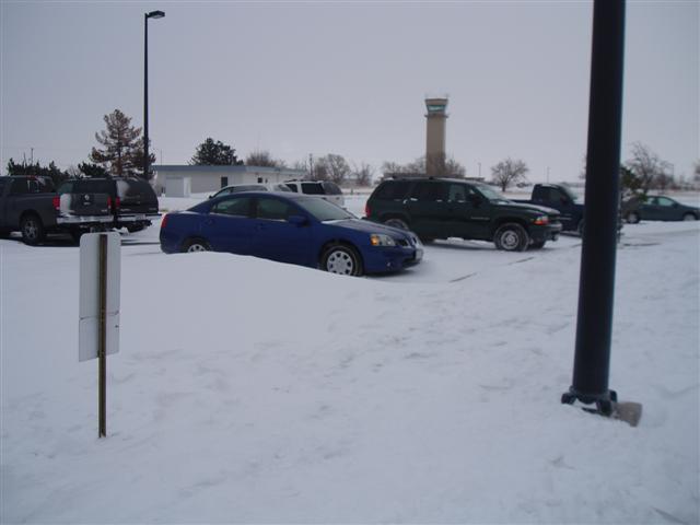 Image 1 |
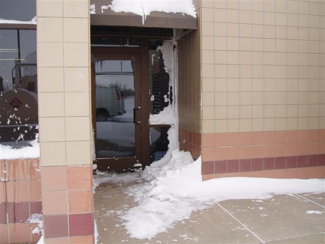 Image 2 |
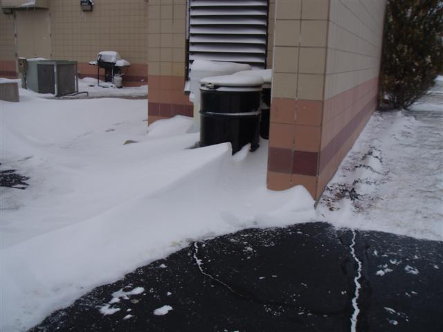 Image 3 |
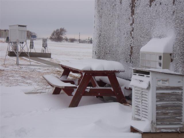 Image 4 |
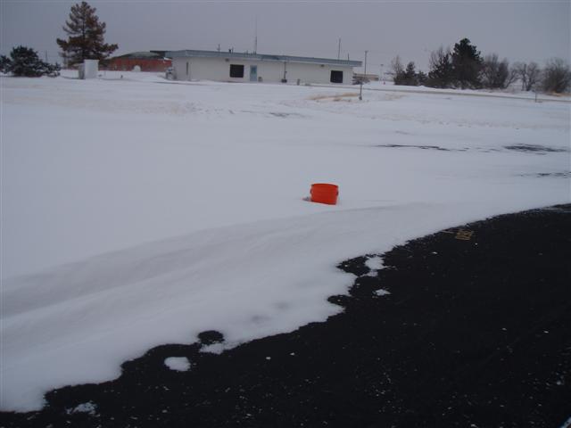 Image 5 |
 Image 6 |
 Image 7 |
|
| Strong winds gusting to over 30 mph accompanied this winter storm. Note the drifts in pictures 1-3 and 5 which were as deep as two feet near larger obstructions. However the background of picture 4 shows a large area of brown grass where the snow is windswept. Winds were so strong, it blew snow into our upper air shelter through small ventilation grates. This can be seen in pictures 6 and 7. Conditions like this make it very difficult to take accurate snowfall measurements. | |||
|
November 29-30 Panhandles Winter Storm
Weather models handled the situation poorly with most runs days before the storm hit showing that the track of the upper level low would be along the I-40 corridor from Albuquerque to Amarillo then curving to the northeast into Kansas. There was doubt to this solution as models tend to underforecast the strength of these upper level lows moving across the southern plains. Sure enough, the last few model runs before the onset of snowfall began to indicate the upper low would indeed move further south than was originally expected. An initial snow advisory issued for the western Oklahoma and northwestern Texas panhandles was extended south and east to include the entire County Warning Area (CWA) serviced by the NWS Weather Forecast Office in Amarillo. Snowfall amounts of one to three inches were expected in the western and central panhandles, while two to four inches was expected in the eastern panhandles. Two factors led to greater than expected snowfall amounts in the snowband. First was strong lift in the mid levels of the atmosphere along a sharp trough. Forty mile per hour winds on either side of the trough axis led to strong convergence in this area. The atmosphere was too dry for abundant snows to develop in the western panhandles, but as the trough moved east the air became saturated and the heavy snows began. The second factor was a strong jet max moving across the southern plains. A jet max is an area of very strong winds in the upper levels of the atmosphere which helps to increase lift. The jet max was responsible for the development of heavier snow showers and even thunderstorms with sleet and snow. This no doubt led to some of the higher snowfall totals that were seen by the end of the event Thursday afternoon. So why did the heavy snow diminish somewhat in the eastern panhandles and western Oklahoma even though the storm was continuing to intensify? This is due to a transition of the storm system in this area. The strong convergence along the mid level trough began to diminish as the trough developed into a mid level low pressure system. It was not until the storm system moved further east that it was able to tap into moisture from the Gulf of Mexico and create snowfall totals of around one foot in central and eastern Oklahoma. Above are a few photos taken just after the event by NWS Meterologist Intern Chris Kimble around the WFO office. |
|||

