A winter storm impacted the region on Tuesday Dec.9th, and Wednesday Dec.10th bringing a fresh coating of snow and much colder temperatures into the region. Parts of southeast Minnesota and central Wisconsin picked up 6-9 inches of snow over a two day period. Areas along the Mississippi River and into northeast Iowa received less snow.
Here is a summary of La Crosse NWS actions:
With the fresh snow cover, bitter cold temperatures followed with early morning low temperatures on Friday, December 12th below zero in many areas. Bryon, MN dropped to -18, Theilman, MN had -16, and Blair, WI had -10. Rochester, MN had -7 and La Crosse, WI had -2. :
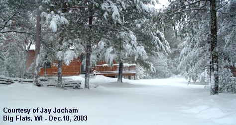
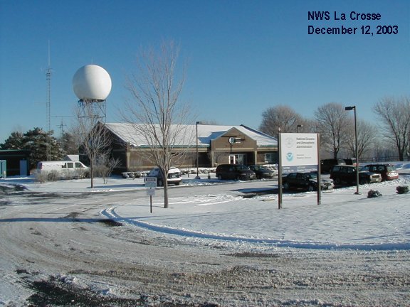
Jay Jocham, from Big Flats, Wisconsin (Adams Co.) sent in this image (left) after 8.5 inches of snow fell. NWS La Crosse (right) at -3 degrees and 3 inches of snow.
 |
 |


 Follow us on YouTube