As incoming solar radiation reaches the earth, air over land areas heats up much faster than air over adjacent bodies of water due to the high specific heat capacity of the water. This causes the warmer air over the land to begin to rise. As this happens cooler air from over the nearby water moves in to replace the rising air. The result is a flow of air that moves from the water to the land, from cool to warm, during the daytime. We call this flow of air onshore flow or a lake breeze (if the flow of air were coming from an ocean or sea it would be called a sea breeze). The most favorable temperature differentials for the development of a lake breeze are found during the late spring, summer, and early fall.
The leading edge of a lake breeze marks a boundary between cooler air and warmer air. This makes a lake breeze similar to a cold front in many respects and they can serve as a focusing mechanism for afternoon showers and thunderstorms if moving into an area of sufficient moisture and instability. The larger the temperature difference between the air over the land and water becomes, the stronger the onshore flow is. Thus, the strongest lake breezes will be found during the afternoon when the air over the land is at its warmest.
In the absence of a prevailing wind there would be symmetric onshore flow along the entire shoreline of the body of water. When a prevailing wind is present the lake breeze will be skewed in the direction of the prevailing wind. Since the cooler air moving in to replace the rising warm air is much more stable, convective cloud development is minimized and a "shadow" is seen downwind from the body of water as an area of few clouds.
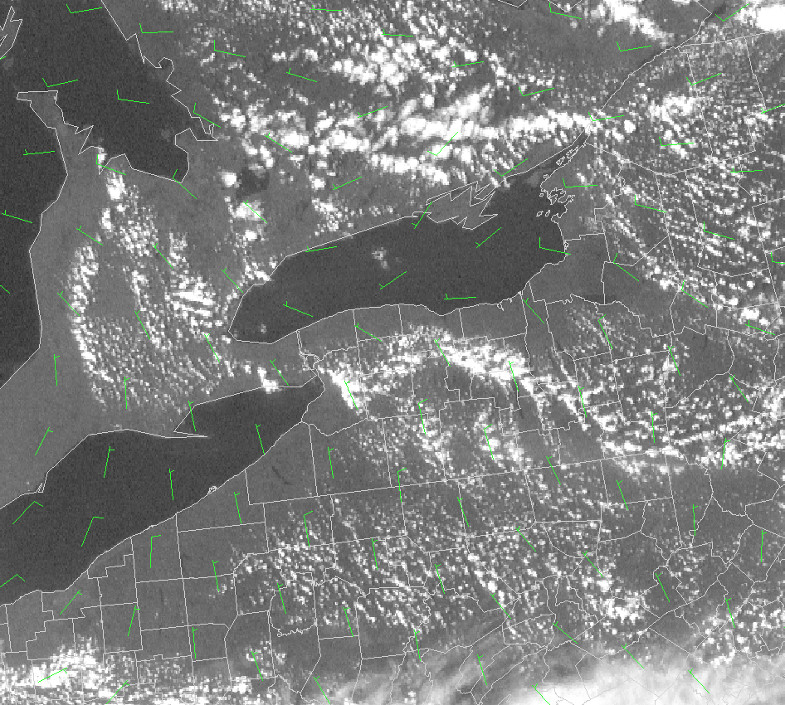
In the following series of satellite pictures with wind barbs, the development of a lake breeze can be seen around the Great Lakes, Georgian Bay, and smaller area lakes such as the Finger Lakes and Oneida Lake:
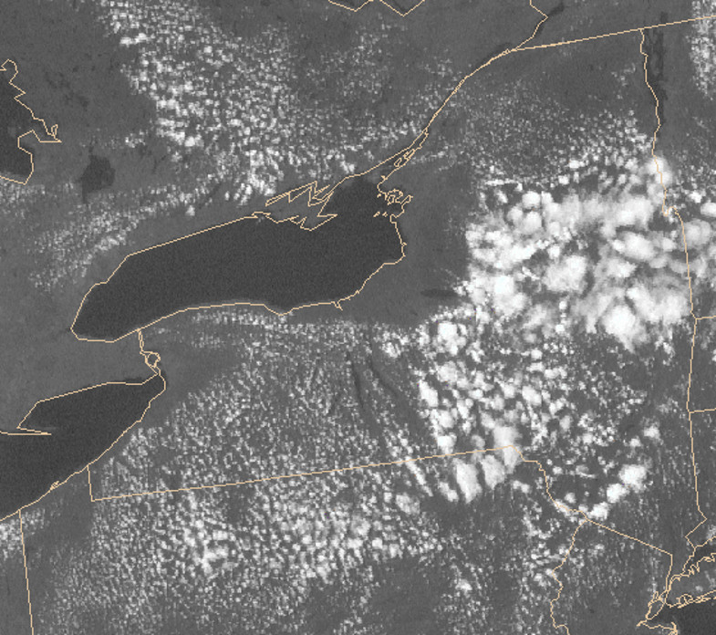
At 10:00 AM EDT the below image shows a predominant light north to northwest wind flow across the region. The land is still heating up so the temperature differences are not yet sufficient to create onshore flow.
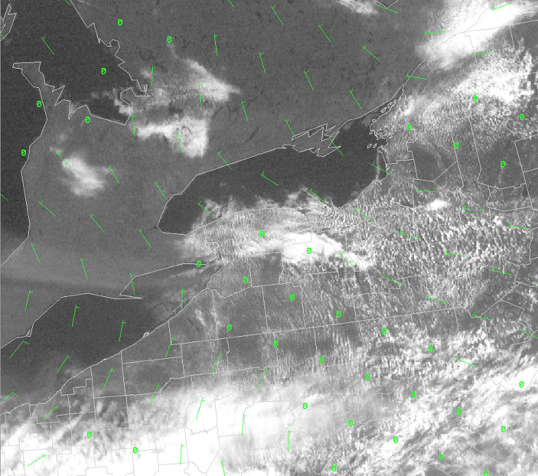
By 1:00 PM EDT (below), temperature differences are large enough to create a lake breeze and these boundaries are now clearly visible. The prevailing winds are beginning to become onshore along Lake Ontario. Also note the well defined lake shadows downwind of the Finger Lakes.
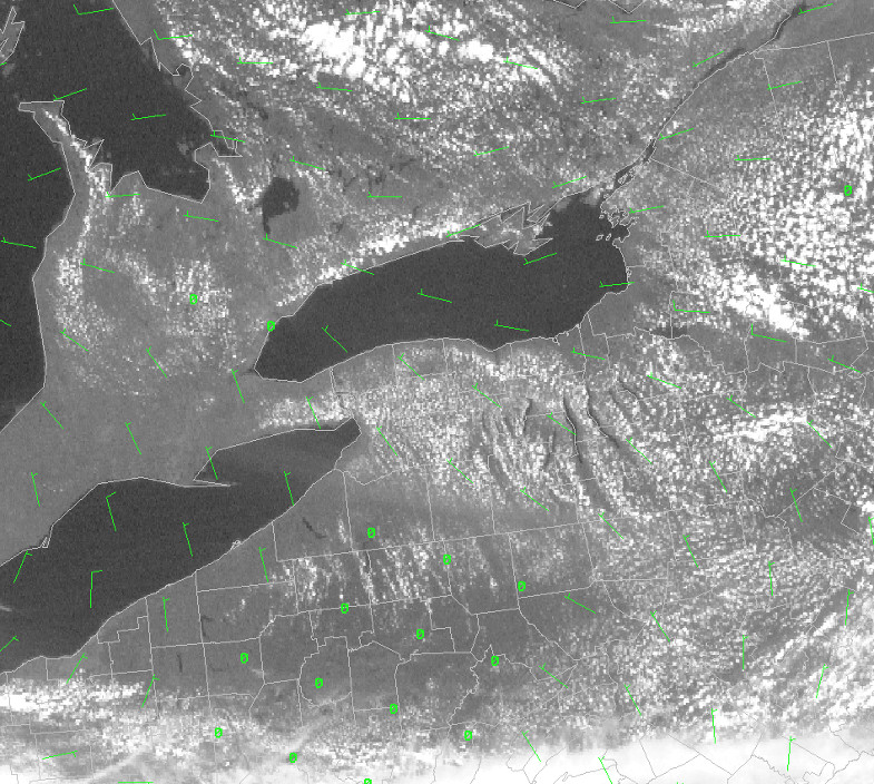
By 4:00 PM EDT (below), the lake breeze boundaries are fully developed. The wind barbs (green) show that the initial north to northwest flow around Lake Ontario has now become onshore. Some of the lake breeze boundaries also show substantial cumulus cloud development.
During the night, the high specific heat capacity of the water causes it to cool much slower than nearby land areas. This makes the air over the body of water warmer than air over the land. Now the warmer air over the water will be rising and the cooler air over the land will move in to replace it. This physics involved are the same as in onshore flow but due to the different rates of cooling the air flows in the opposite direction, from the land to the water. We call this a land breeze or offshore flow.


 Follow us on YouTube