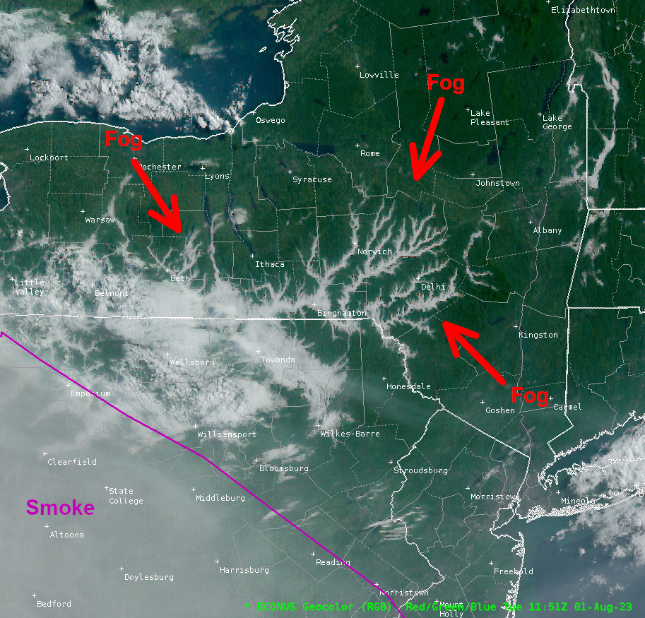
The visible satellite image below shows a classic dendritic pattern created by early morning fog in the valleys of New York and Pennsylvania. Fogs such as this develop during nights favorable for radiational cooling - conditions of clear skies and light winds.
When the earth radiates its heat after sunset, rapidly cooling air on the hilltops becomes more dense than the surrounding air. The more dense coller air sinks and flows down the hillsides, pooling in the valleys. As this process continues through the night, the temperature of the air eventually cools down to the dew point and saturation occurs. Initial fog development in the saturated air is shallow but as the process continues it becomes thicker and more dense, reaching a peak around daybreak. Moisture evaporating from streams or rivers at the bottom of the valleys adds to the fog formation, especially when the air temperature falls below the river water temperature. Valley fog will evaoprate within a few hours after sunrise, a process normally refered to as "burning off".
In the visible satellte image below, the red arrows show where some of the valley fog is located. Mainly look for "white vein" like features. The areas outlined in yellow are clouds. The purple outline depicts smoke.
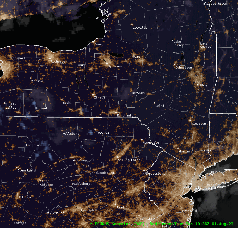
Below is an animation from 6:36 AM EDT to 10:41 AM EDT. The loop starts out dark, but as the sun rises, the valley fog and clouds are illuminated. Note that the valley fog does not move will the clouds do. The milky area in the bottom left is smoke as shown in the image above. By the end of the loop most of the valley fog has dissipated.
Resources:


 Follow us on YouTube