Microburst /Straight Line Wind Damage/ Confirmed Near Jewell in Oneida County New York
The information in this statement is preliminary and subject to change pending final review of the event(s) and publication in NWS Storm Data.
Summary
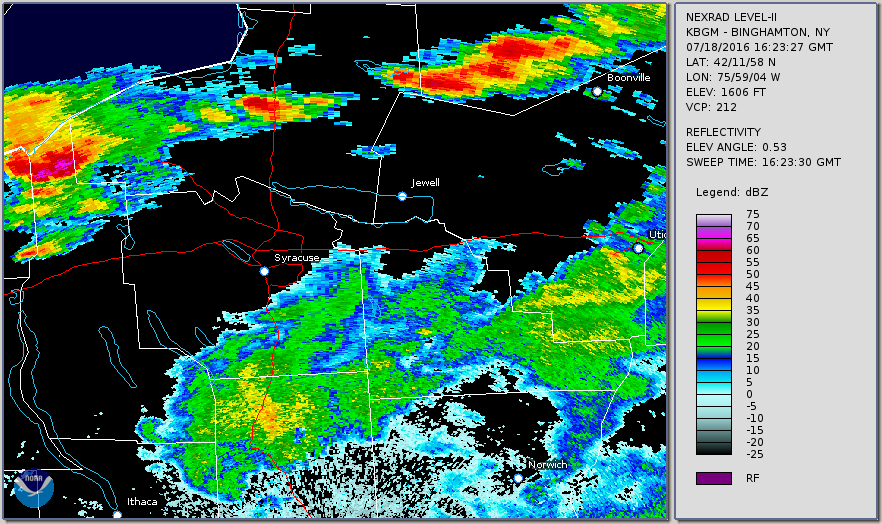
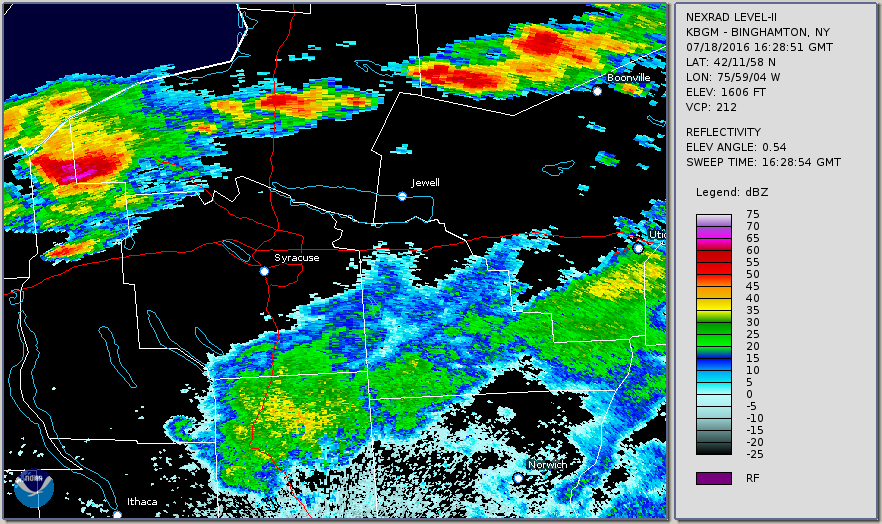
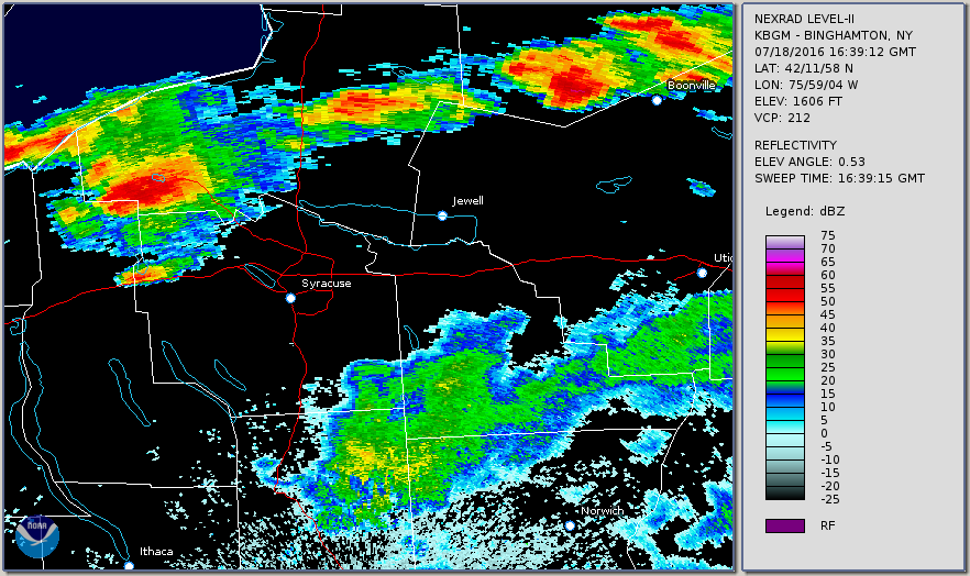
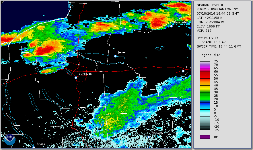
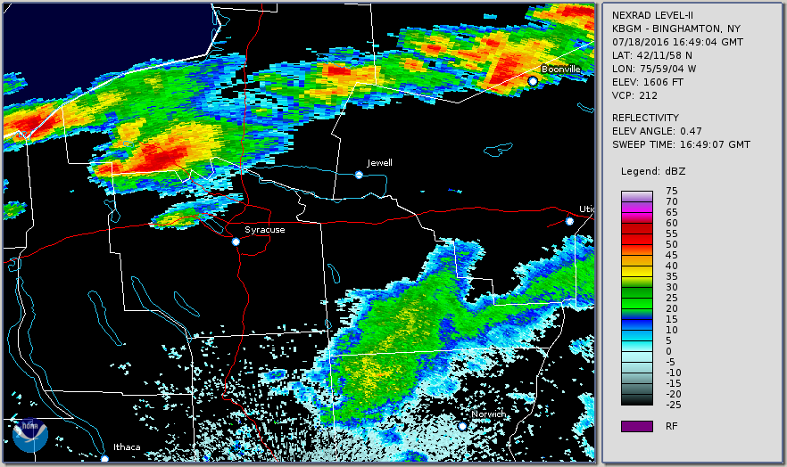
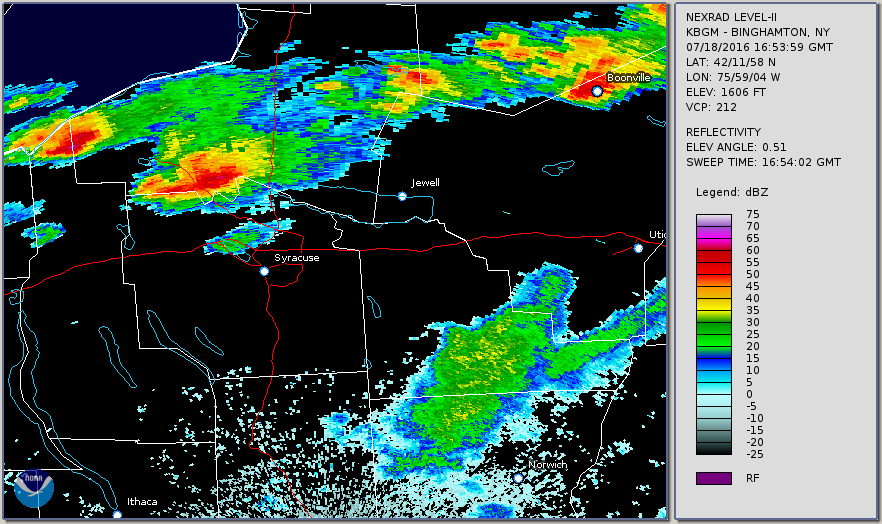
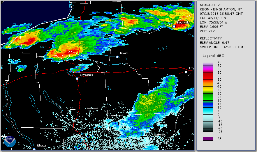
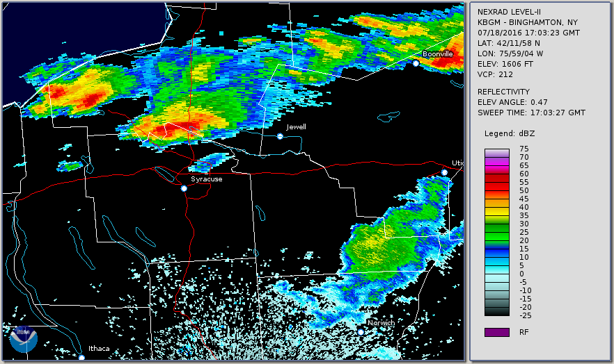
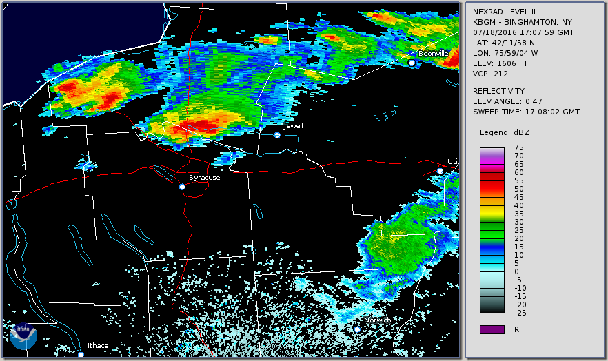
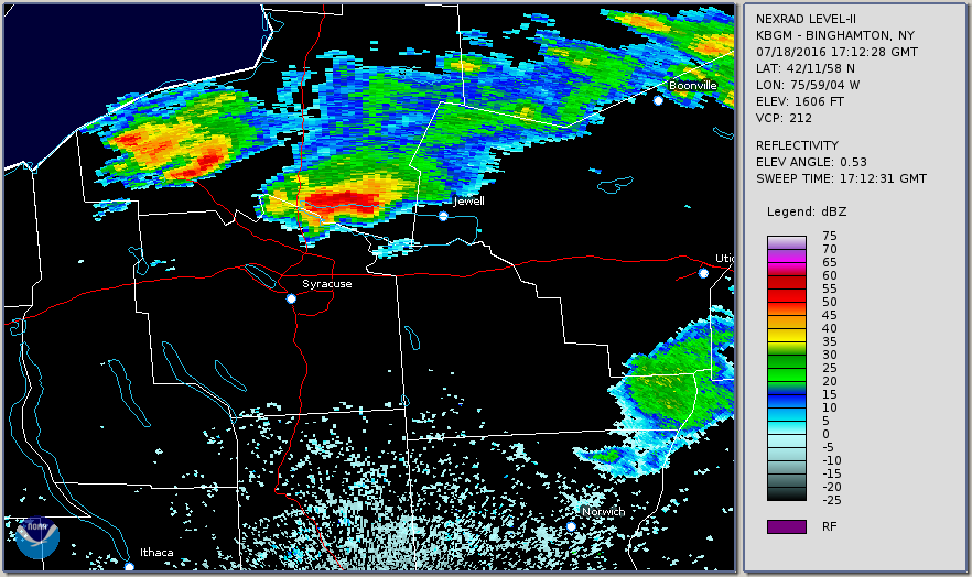
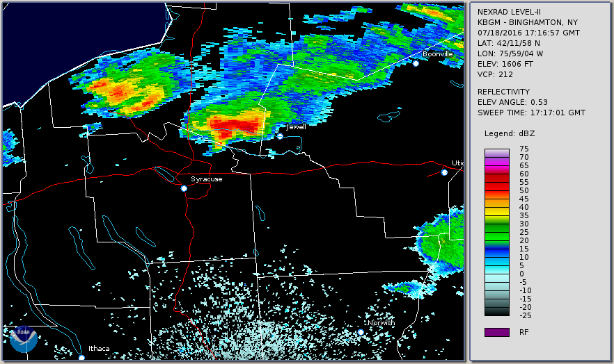
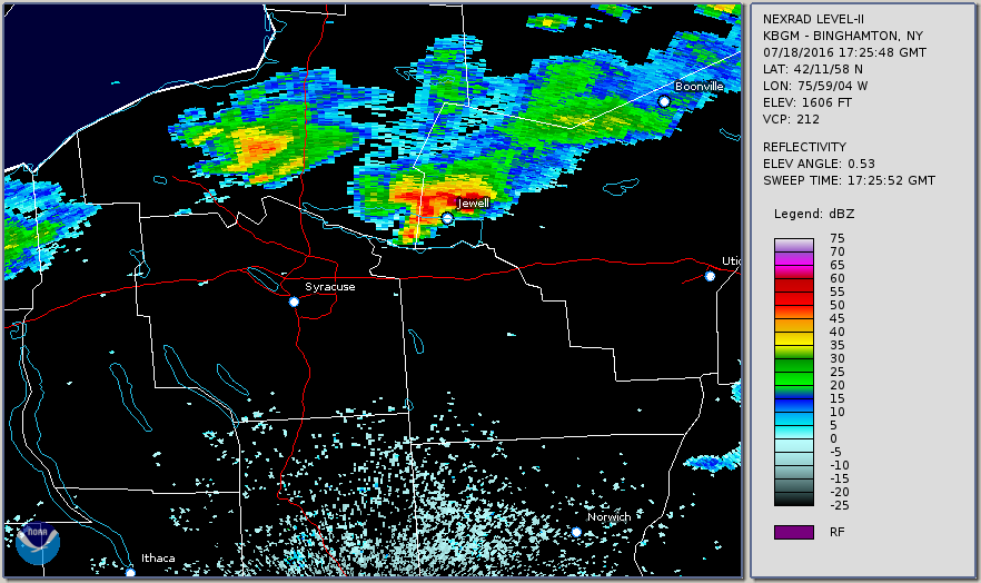
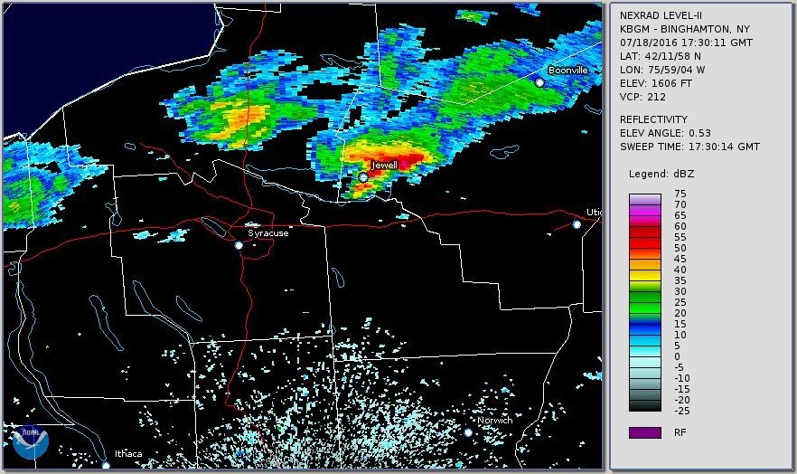
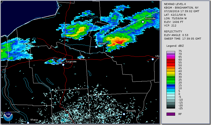
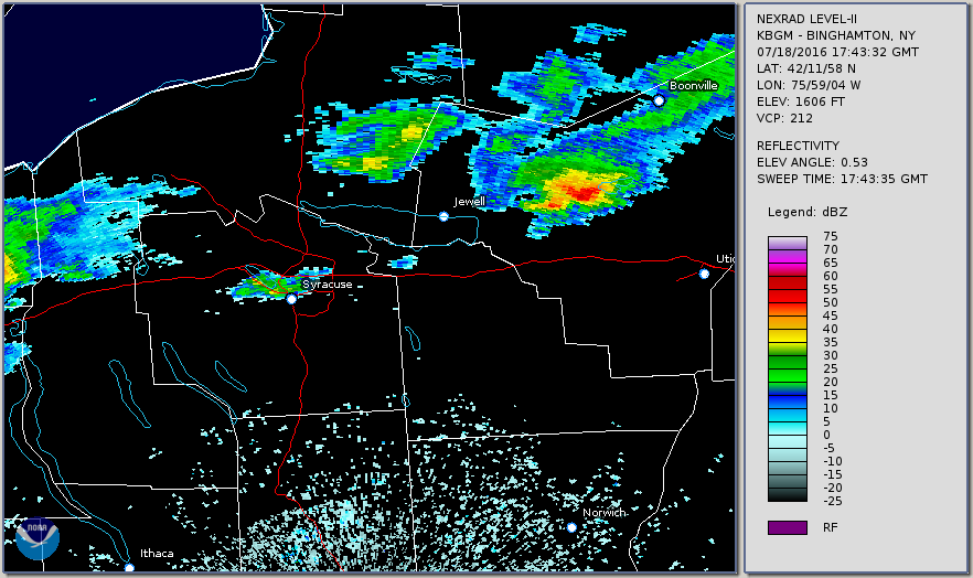
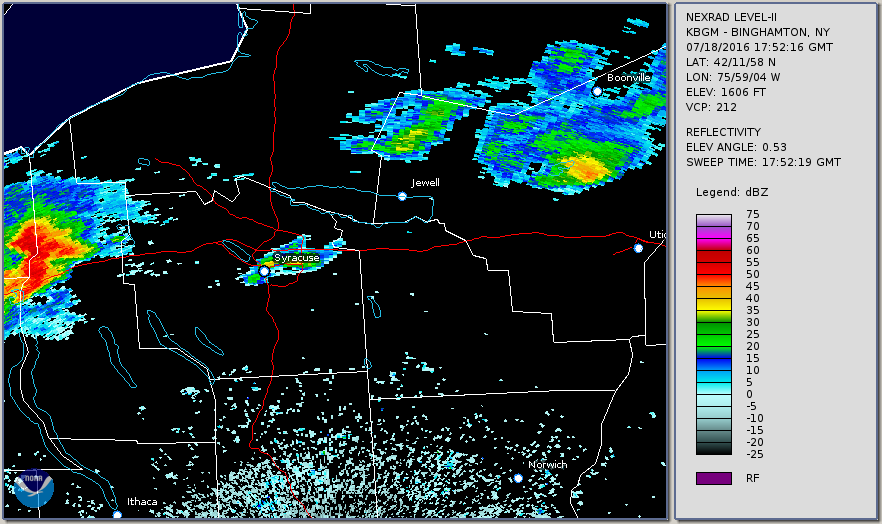
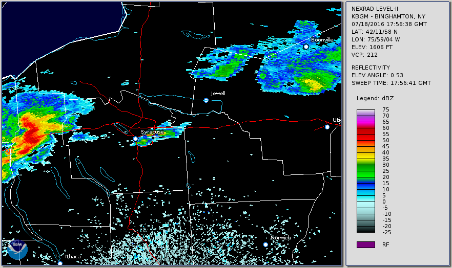
The National Weather Service in Binghamton NY has confirmed a Microburst /Straight Line Wind Damage/ near Jewell in Oneida County New York on July 18th 2016.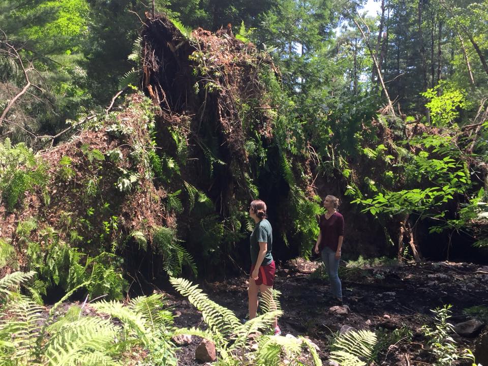
The most concentrated area of damage was from along and just east of Elipis Road southeast through the intersection of Stone Barn Road and Hall Road and ending just east of Hall Road. In this area hundreds of uprooted pine trees were found. Some of the pine trees were snapped anywhere from the middle of the tree toward the top. Most of the trees that were uprooted were pointed toward 140 to 160 degrees or the southeast. A few trees just northeast of the intersection of Hall Road and Stone Barn Road were pointed more toward due east or even east north east. This divergent or fan shaped pattern is consistent with microburst damage. Wind speeds were estimated between 70 and 80 MPH based on the significant amount of uprooted softwood trees. Numerous paths of tree damage could be found throughout this area. An upper level was capped at 80 MPH because of the lack of any damage to the homes within the path of the microburst, besides trees falling onto houses. Some of the trees that were snapped were quite large in diameter, but the lack of damage to roofs, siding, etc kept our upper limit lower.
Beyond the main damage area mentioned above, sporadic uprooted trees, snapped tree trunks and smaller branches could be found east toward County Route 68 (Preston Hill Road) but were much less concentrated. Winds here were likely closer to 60 to 70 MPH.
Eyewitness accounts all reported a very brief period of strong winds associated with heavy rain and some hail as large as the size of quarters.
For reference
A microburst is a convective downdraft with an affected outflow area of less than 2 1/2 miles wide and peak winds lasting less than 5 minutes. Microbursts may induce dangerous horizontal and vertical wind shears, which can adversely affect aircraft performance and cause property damage. Straight-line winds are generally any wind that is not associated with rotation, used mainly to differentiate them from tornadic winds.
Heden/Enty/Howarth/Joyce


Additional Information:


 Follow us on YouTube