|
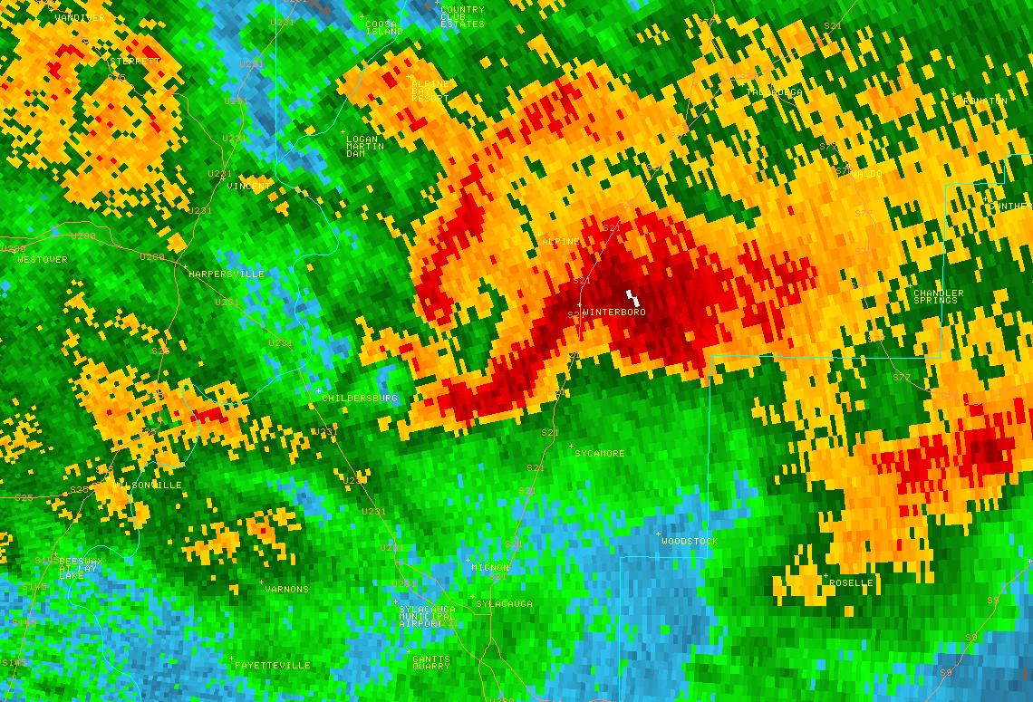
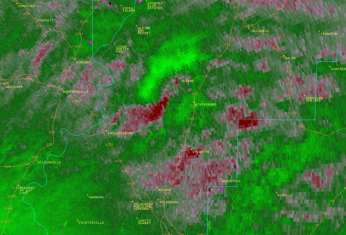
National Weather Service meteorologists surveyed damage along Alabama Highway 76, also known as DeSoto Caverns Parkway, east-northeast of the city of Childersburg, and determined that it was the result of an EF-0 tornado. The tornado touched down just west of the intersection of Alabama Highway 76 and County Road 175 (Oakdale Road), and moved east-northeastward from there, remaining very close to Alabama Highway 76. A house and storage building near the touchdown point suffered light roof damage. The most concentrated damage, with winds estimated between 70 and 80 mph, was at the intersection of Alabama Highway 76 and Booker Road, where about a dozen large pine trees were uprooted. From that location until the end of the path, damage was sporadic and consisted of isolated trees that were either snapped or uprooted. The end point of damage was an uprooted tree near the intersection of Alabama Highway 76 and Risers Mill Road.
|


 Follow us on YouTube