National Weather Service meteorologists have surveyed the damage just southeast of Panola in extreme northern Sumter county and determined that it was the result of an EF-0 tornado. The tornado touched down along S H and G Drive causing significant roof damage to one single family residence. As the tornado continued northeast towards Marby Heights, another home sustained some minor siding damage. The tornado lifted shortly after. The tornado damage path was approximately 0.36 miles long and was 100 yards wide at its widest point. Special thanks to National Weather Service office in Meridian, Mississippi for their help with the damage survey.
Radar Data
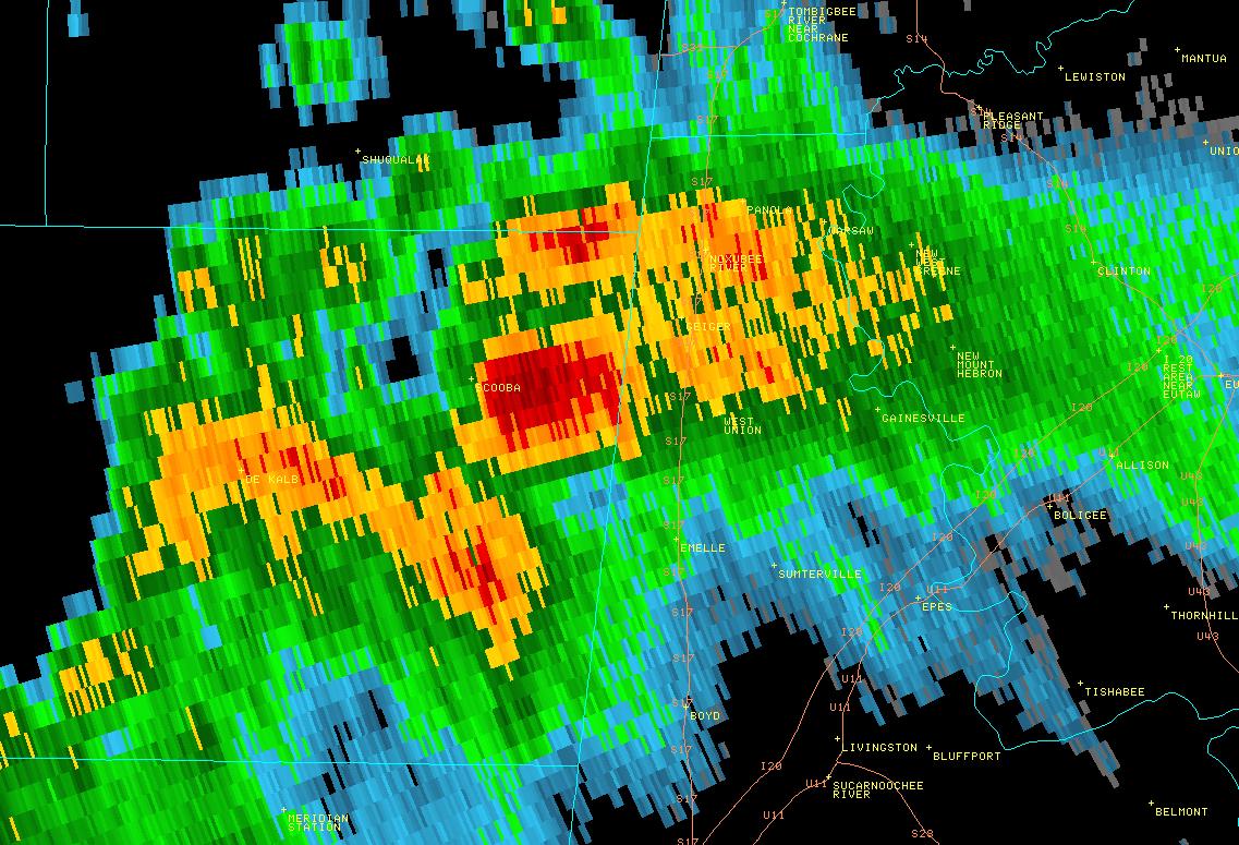
This is an image of the 0.5 degree reflectivity data from KBMX at 218 am before the circulation crossed the state line.
Click to enlarge.
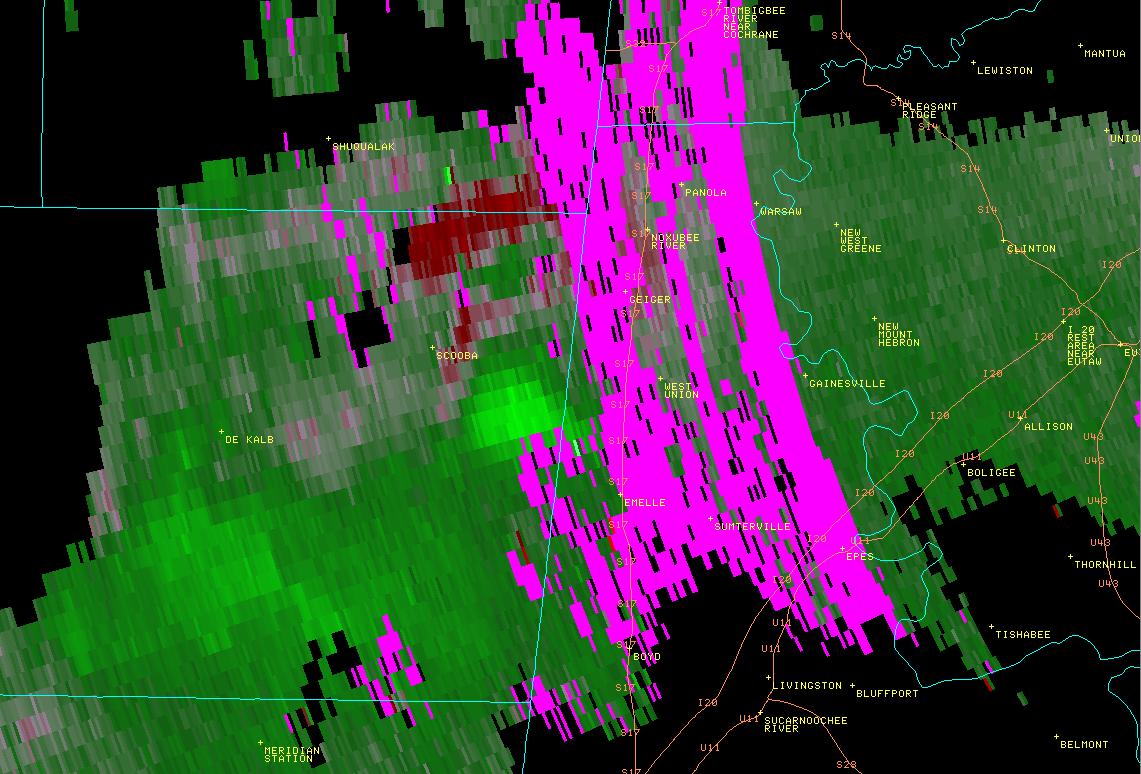
This is an image of the 0.5 degree velocity (SRM) data from KBMX at 218 am before the circulation crossed the state line.
Click to enlarge


 Follow us on YouTube