Wind, Tornadoes and Flooding on January 30, 2013
|
|
Event Summary for Central Alabama
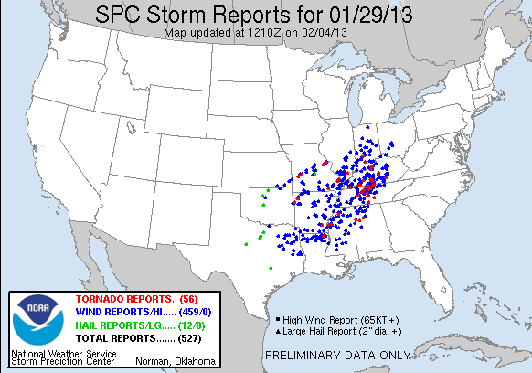
On the morning of January 30th, 2013, a strong storm system moved across the lower Mississippi River and Tennessee River Valleys. This system not only produced a long-lived squall line or QLCS, but also discrete supercells out ahead of the line. As the storms crossed into Central Alabama that morning, these thunderstorms caused 5 tornadoes, two areas of significant straight line wind damage and isolated flash and areal flooding. In addition to the severe weather, widespread reports of downed trees caused by pressure gradient winds were received throughout the day.
The information contained below is the individual tornado events that occurred. The data is PRELIMINARY and may be subject to change.
|
|
Location/Clickable Detailed Summary Link
|
Damage Rating/Estimated Maximum Wind Speeds
|
Injuries/Fatalities
|
Damage Path Length/Width
|
Starting Point/Time
|
Ending Point/Time
|
|
|
EF-1
90 mph
|
None
|
3.8 miles
300 yards
|
33.8723/-88.2275
433 am
|
33.8855/-88.1674
436 am
|
|
|
EF-1
90 mph
|
None
|
6.5 miles
500 yards
|
33.7331/-87.9042
518 am
|
33.7551/-87.7916
525 am
|
|
|
EF-0
80 mph
|
None
|
4.88 miles
200 yards
|
33.9315/-87.5063
542 am
|
33.9573/-87.4164
546 am
|
|
|
EF-1
105 mph
|
None
|
10.26 miles
1000 yards
|
34.0622/-87.3696
550 am
|
34.1113/-87.2007
600 am
|
|
|
EF-1
90 mph
|
None
|
4.16 miles
300 yards
|
34.2090/-87.1797
601 am
|
34.2267/-87.1102
606 am
|
|
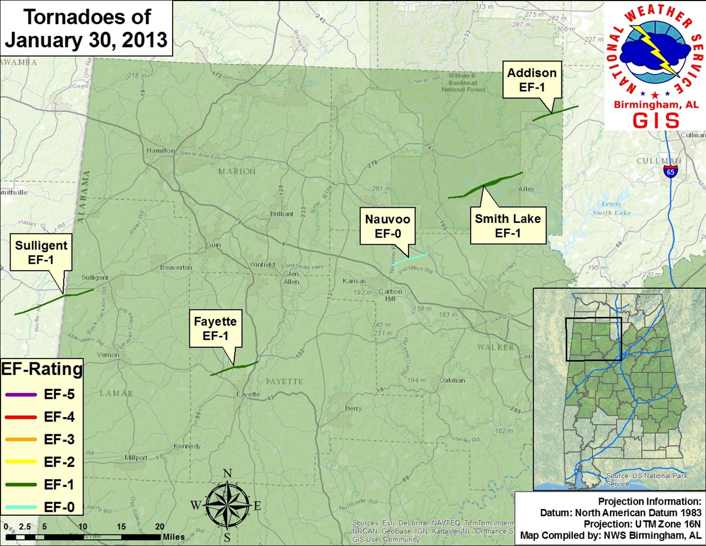 |
| The tornado damage "swaths" as depicted in the image above, and on the individual tornado links, are an estimate of the damage widths along the track. In other words, the track width may not represent the actual damage in all locations, as we interpolate the values between actual surveyed damage points. These maps are soley for the purpose of showing the general track of each tornado. Remember, tornadoes do not always move in straight lines, and the intensity does not remain constant. It is also possible to have other thunderstorm wind-related damage in close proximity to the tornado tracks from such features as inflow and rear flank downdrafts, which can produce tornado-like damage. |
|
Other affected County Warning Areas
|
|
Severe Weather Episode Data
|
|
|
| |
|
|


 Follow us on YouTube