Severe Weather Episode - February 18, 2009
Event Summary for Central Alabama
Tuesday, February 17, 2009 was a rather cool day across Central Alabama. High temperatures were below normal in the 40s and 50s. The 12z morning raob indicated a very dry atmosphere overhead with precipitable water values only 0.13 inches, low enough for that occasional static discharge. But as many Central Alabamians know, weather can change very quickly in the deep south.
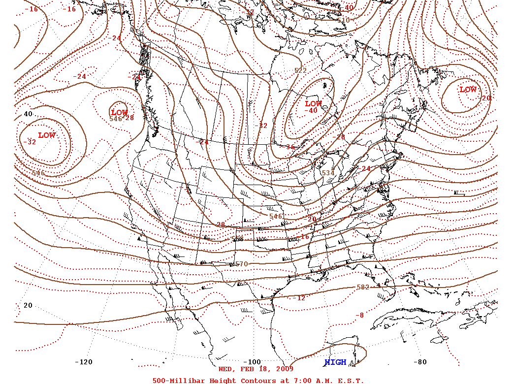
A warm front moved rapidly northward early Wednesday morning. Temperatures were already into the 50s and 60s by daybreak, higher than the previous days high temperatures. The clouds cleared out by afternoon and the temperatures soared. Afternoon high temperatures Wednesday were in the mid to upper 70s. The precipitable water value rose and was 1.10 inches on the 00z raob Wednesday evening. These warm temperatures and increased moisture set the stage for potentially hazardous thunderstorms.
The wind fields above the surface were very impressive. The winds were measured around 50 mph at 5,000 feet and over 100 mph at 30,000 feet. These winds produced shear in the atmosphere. The subsequent shear and instability provided the recipe for supercell thunderstorms.
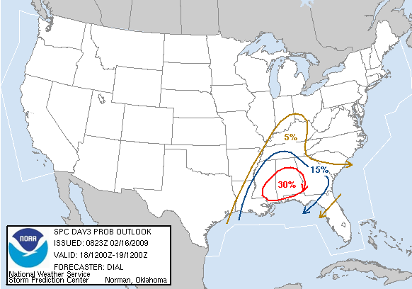
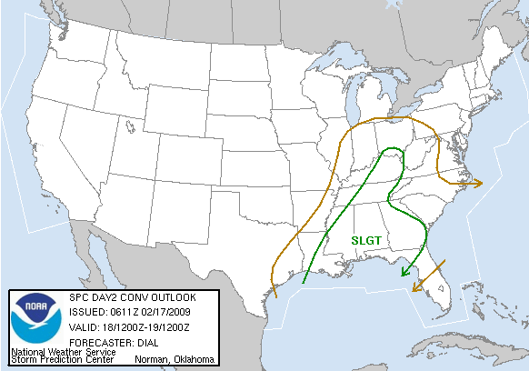
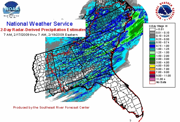
Several supercell thunderstorms eventually developed Wednesday afternoon. The storms became more multi-cellular and linearly oriented by Wednesday evening. These storms produced at least one tornado, several large hail swaths, and some wind damage. A cold front moved into Central Alabama later Wednesday evening and ended the thunderstorm threat.
Severe Weather Episode Data


 Follow us on YouTube