|
Event Summary for Central Alabama
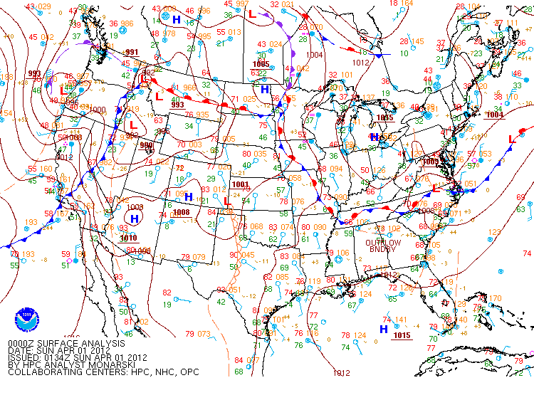
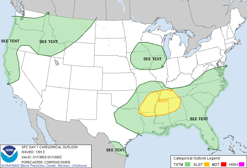
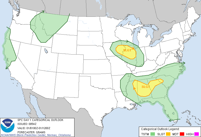
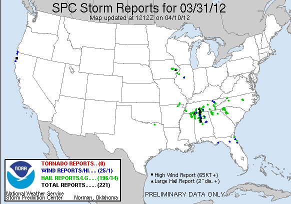
On March 31, 2012, a strong upper level shortwave moved southward from the lower Ohio Valley interacting with unseasonably warm and unstable conditions across the southeast. At the surface, a cold front moving into the Tennessee Valley triggered numerous severe thunderstorms during the afternoon, and those storms moved southward into Central Alabama during the evening hours along a strong outflow boundary. Very cold air aloft (-17C at 500mb) and steep lapse rates led to the development of very large hail in any storm that developed. Large hail reports from golfball (1.75) to teacup size (3 inches) were reported with some of the storms, as they were allowed to be sustained for well over 2 hours due to very high instability amounts. The storms finally weakened during the late evening hours with the loss of daytime heating. The information below is the PRELIMINARY storm reports from the March 31st severe weather event.
Event Photos
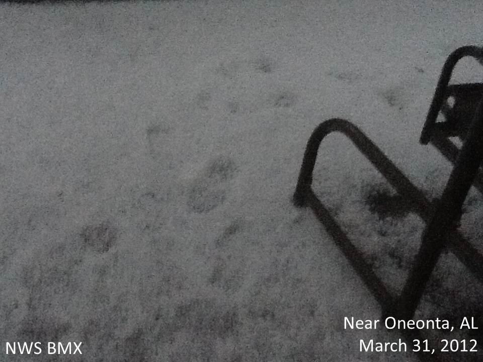 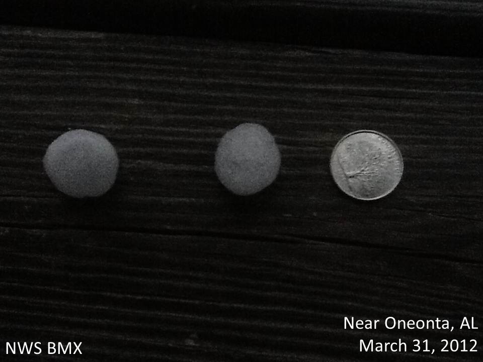
Hail near Oneonta, AL Hail near Oneonta, AL
Photo Submitted by Blount County EMA Photo Submitted by Blount County EMA
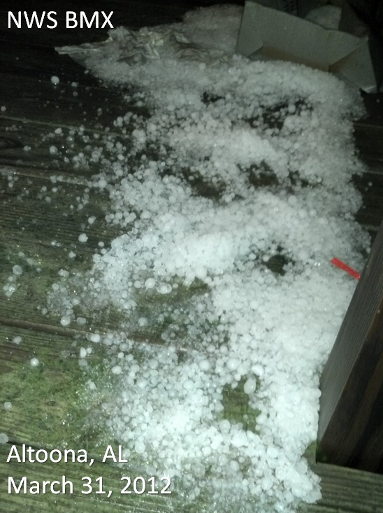 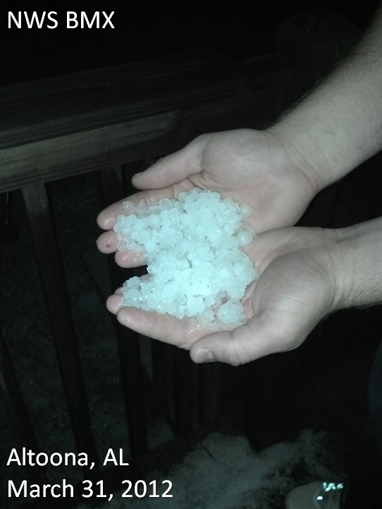
Large Hail in Altoona, AL Hail in Altoona, AL
Photo Submitted by Erin Crossley Photo Submitted by Erin Crossley
Do you have any photos of large hail or damage from this event? You can send your storm photos to us at SR-BMX.pix@noaa.gov, or upload them to our Facebook page on our wall! We just might include your photo here on this webpage, and give appropriate credit for the photo.
|


 Follow us on YouTube