|
Event Summary for Central Alabama
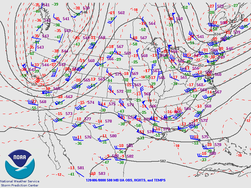
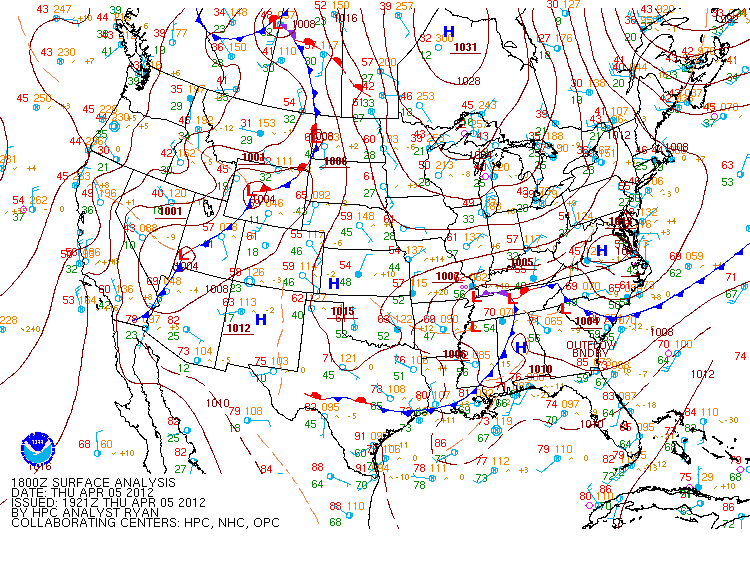
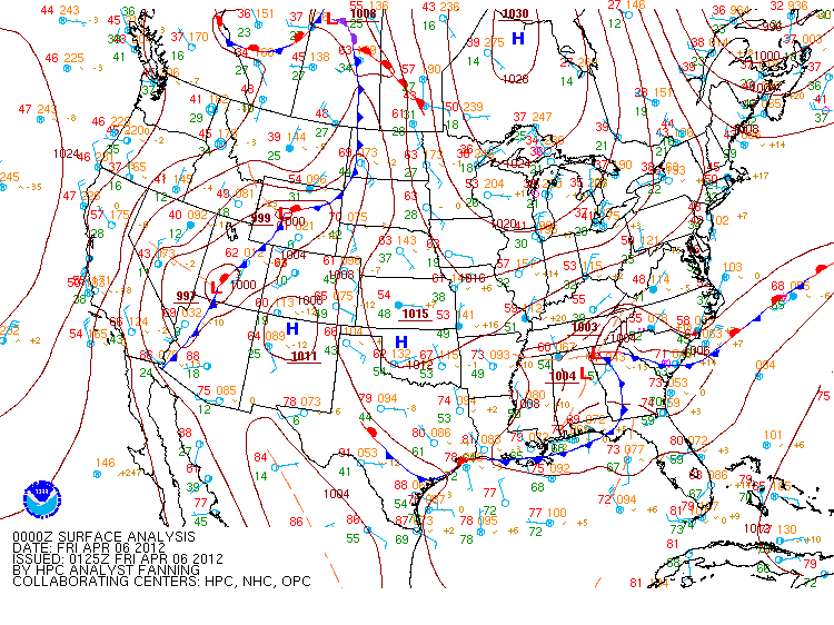
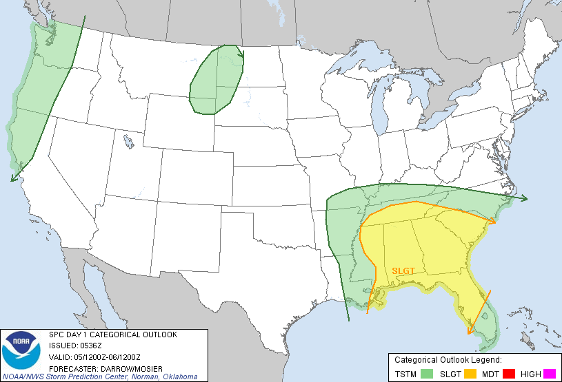
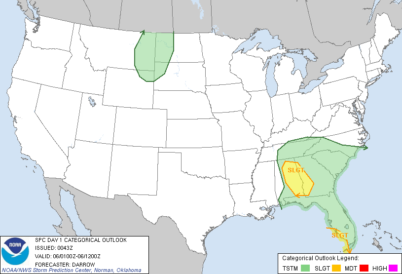
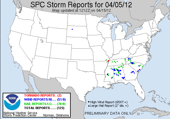
On April 5, 2012, a strong upper level low pressure system with very cold air aloft moved into the southeastern states on the morning of April 5th, and moved across northern Alabama during the early evening hours. Due to very unstable conditions aloft due to the cold core upper level low (-18 to -20C at 500mb), severe storms were allowed to develop out ahead of several upper level shortwaves rotating around the low. The first wave of storms developed during the late morning hours, and the second moved across Central Alabama during the early evening. Large hail up to the size of golf balls and ping pong balls were reported with several of the storms, as well as wind damage due to strong winds mixing down to the surface. The information below is the PRELIMINARY storm reports from the April 5th severe weather event.
Do you have any photos of large hail or damage from this event? You can send your storm photos to us at SR-BMX.pix@noaa.gov, or upload them to our Facebook page on our wall! We just might include your photo here on this webpage, and give appropriate credit for the photo.
|


 Follow us on YouTube