|
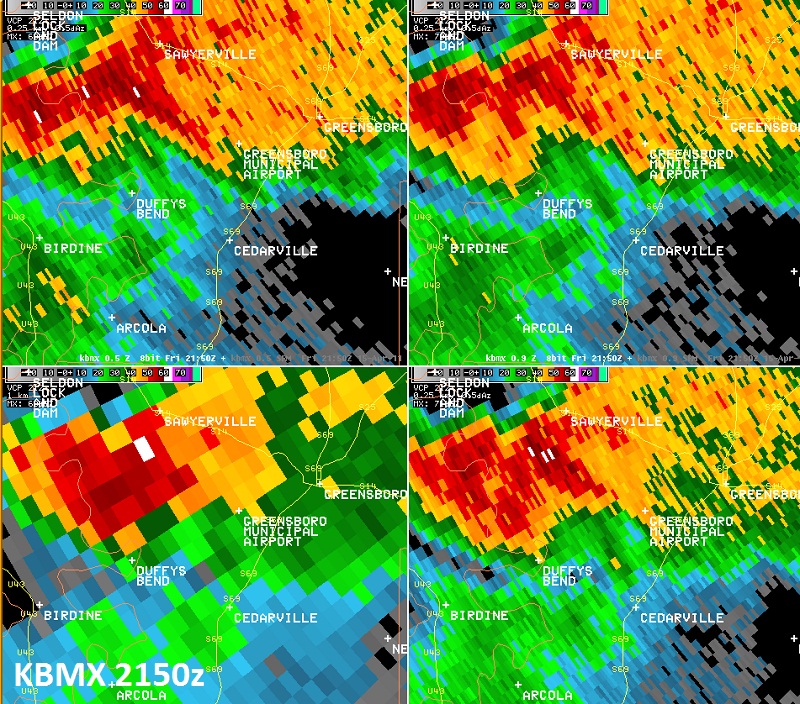
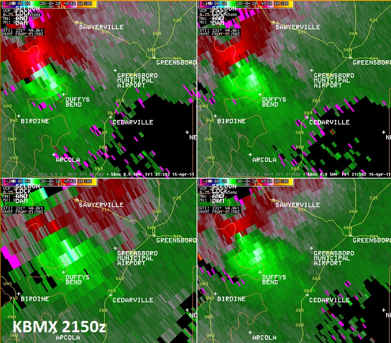
National Weather Service meteorologists surveyed the damage that began east of Forkland and traveled northeast almost to the Bibb/Hale County Line. It has been determined that the damage was consistent with a tornado. Winds were estimated at 130 mph and this tornado was witnessed by several dozen people and storm spotters. The tornado touched down about 2.2 miles east of Forkland along County Road 20. The tornado mainly traveled in forested land and snapped and uprooted thousands of trees along the path. Just north of Greensboro, the tornado severely damaged three mobile homes along County Road 21. The tornado continued northeast close to the Talladega National Forest, where more trees were snapped and uprooted. The tornado lifted north of Alabama Highway 25, 2.4 miles west of the Bibb County Line. The tornado damage path was 24.1 miles long and was 880 yards wide at its widest point.
A Tornado Warning was in effect from 418 pm until 515 pm.
|


 Follow us on YouTube