|
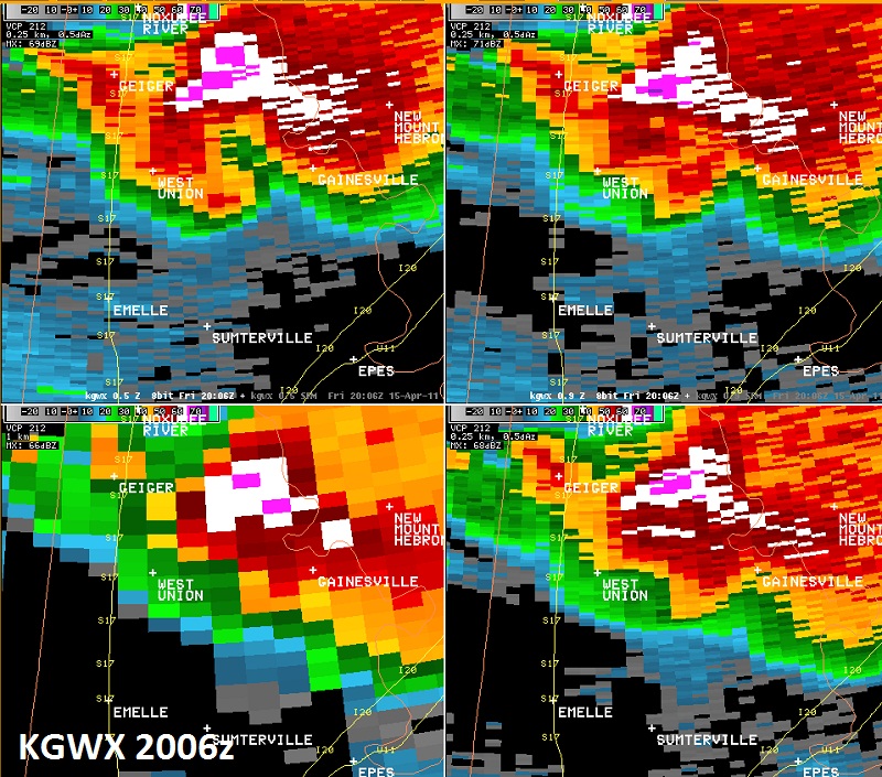
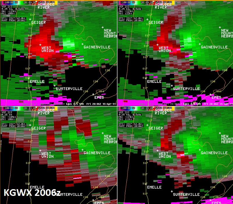
National Weather Service meteorologists surveyed the damage near Gainesville via helicopter. It has been determined that the damage was consistent with a tornado. Winds were estimated at 115 mph. The tornado touched down along Dan Mitchell Rd south of Alabama Highway 116, six miles west southwest of Gainesville, where it caused roof damage to a house. The tornado moved east and snapped or uprooted dozens of hardwood trees and damaged several houses. The tornado lifted 0.5 miles west of State Route 39, one mile south of Gainesville. The tornado damage path was 4.5 miles long with a damage width of 200 yards.
A Tornado Warning was in effect from 256 pm until 345 pm.
|


 Follow us on YouTube