|
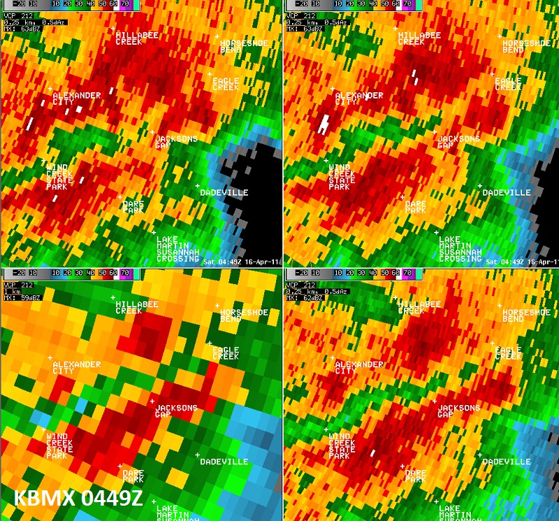
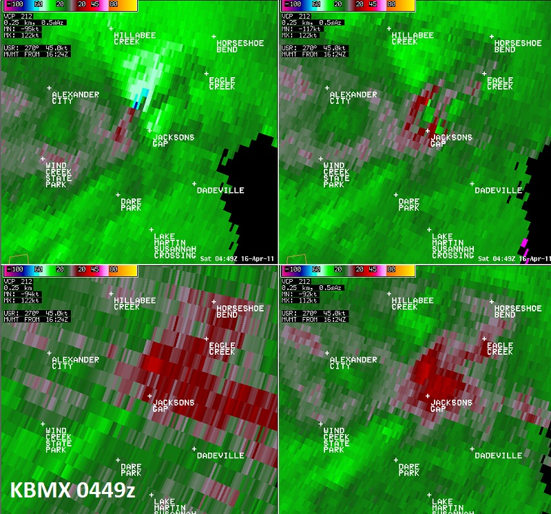
National Weather Service meteorologists surveyed the damage in north central Tallapoosa County. It has been determined that the damage was consistent with a tornado. Winds were estimated around 100 mph. The tornado touched down in a wooded area on the east side of Lake Martin or 4 miles southwest of Jacksons Gap. Most of the damage consisted of uprooted and snapped hardwood and softwood trees. As the tornado continued northeast and crossed U.S. Highway 280, 3 homes were damaged due to falling trees and a trampoline was tossed 30 feet. The tornado lifted north of Highway 280, 3.1 miles north of Jacksons Gap. The tornado damage path was 6.64 miles long and was 200 yards wide at its widest point.
A Tornado Warning was in effect from 1128 pm until 1215 am.
|


 Follow us on YouTube