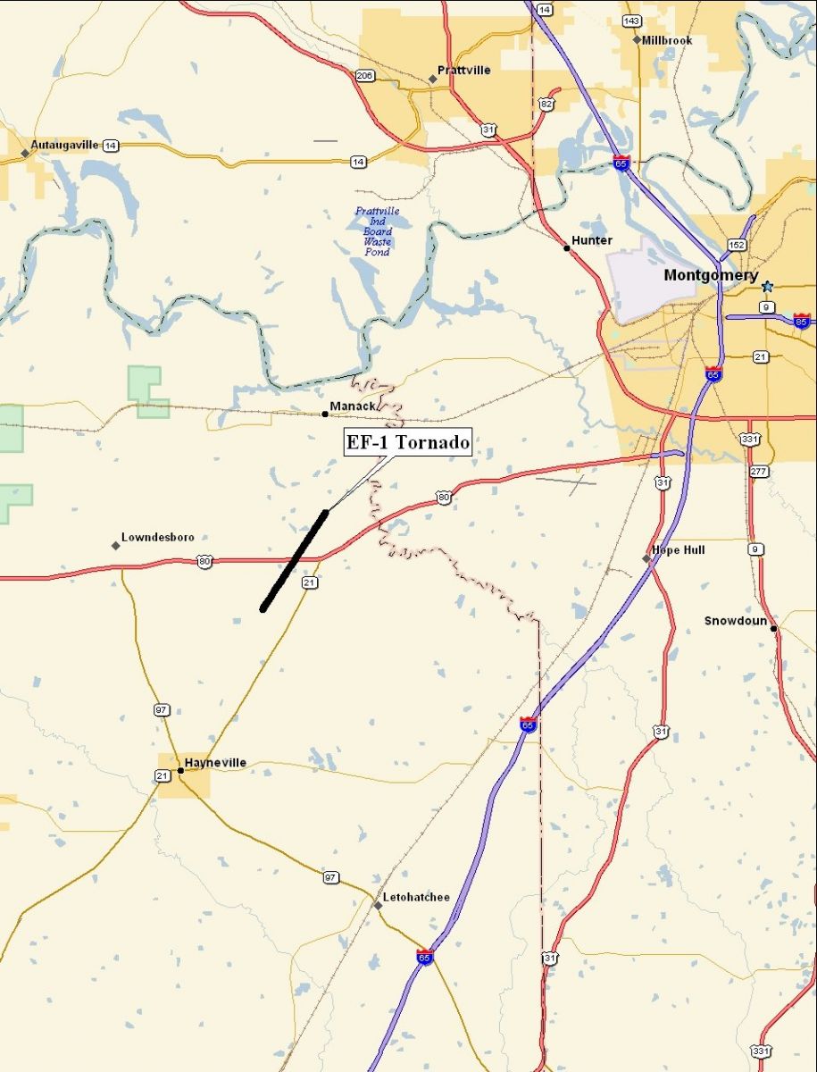
Lowndes County Tornado - October 23, 2007
EF-1
National Weather Service meteorologists surveyed storm damage in far northeastern Lowndes County. It has been determined that the damage was the result of a tornado. The tornado has been rated an EF-1 on the Enhanced Fujita Scale with estimated maximum winds around 100 mph.
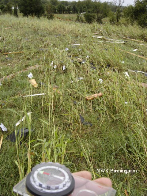
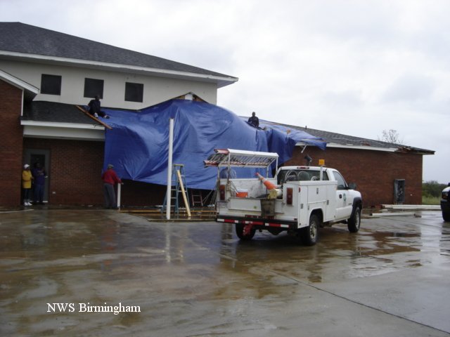
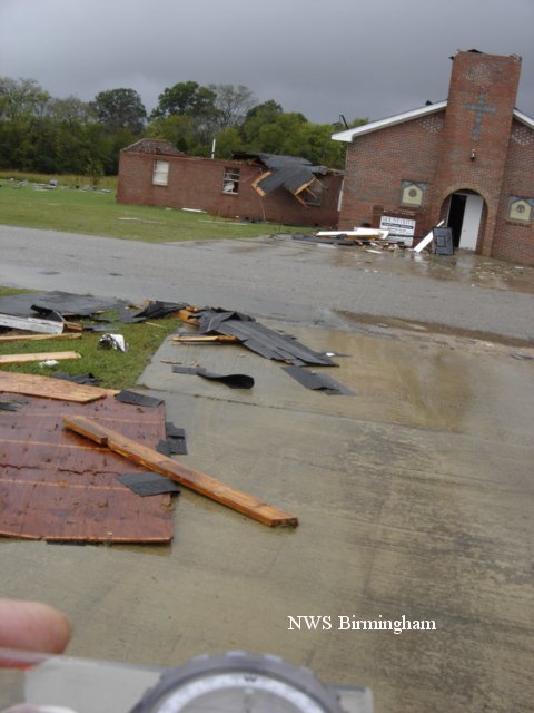
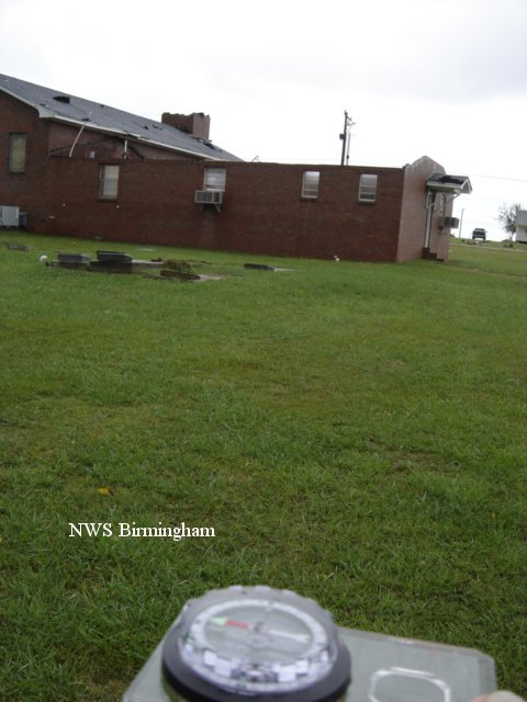
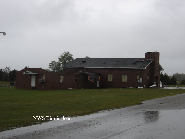
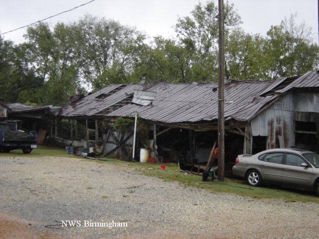
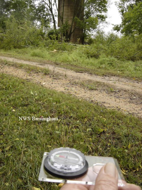
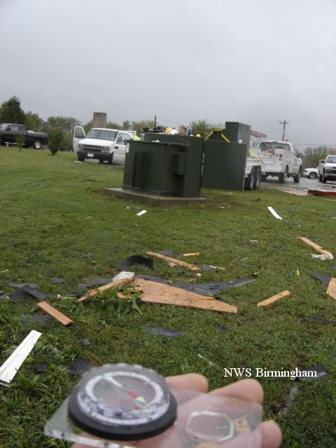
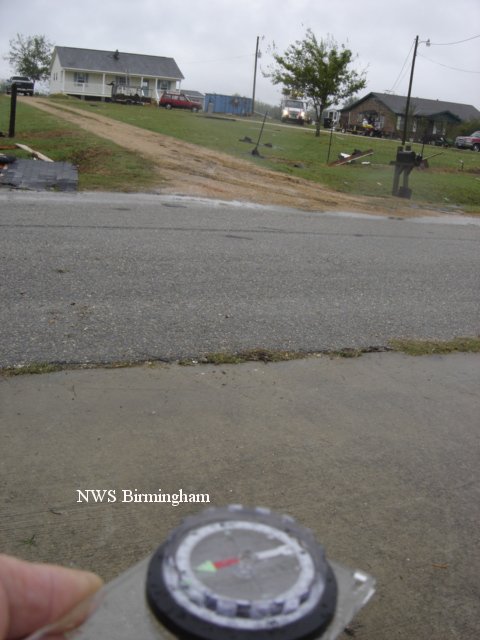
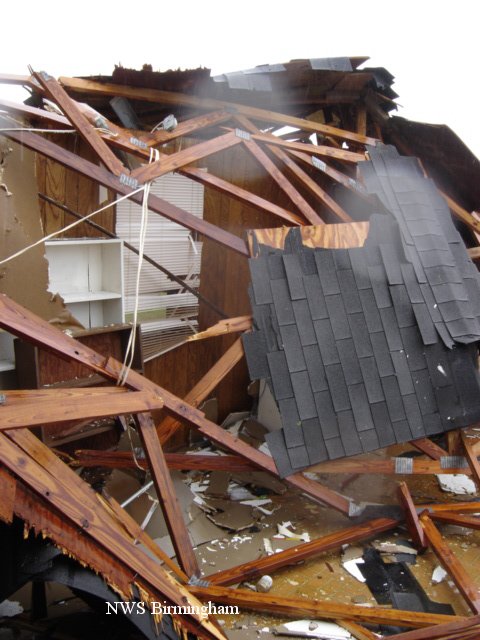
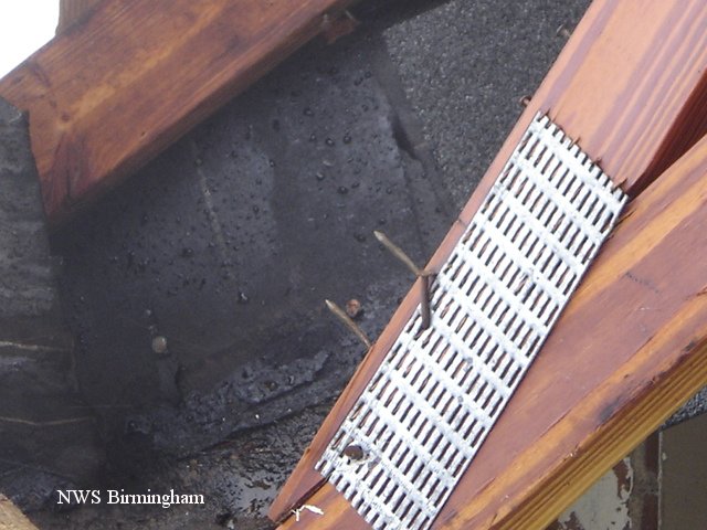
A tornado touched down just west of Caffey Road, near Robinsons Lake, at approximately 135 AM. The tornado tracked northeast for 3.25 miles, crossed US Highway 80, and lifted after crossing County Road 37 around 140 AM. The tornado damage path was 100 yards wide at its widest point. The most concentrated damage occurred at Mt Olive Church and the Auxiliary Mt Olive Church on Frederick Douglass Road. A wing of the auxiliary church had its entire roof blown off. Multiple trees were blown down in this same area. A Severe Thunderstorm Warning was in effect from 100 AM valid until 145 AM and a Tornado Warning was in effect from 139 AM valid until 215 AM. A Tornado Watch was in effect from 1114 PM CDT until 400 AM CDT.
Click on the images below for larger picture.
|
|
||||||||||||||||||||||||||


 Follow us on YouTube