Wind Damage in Autauga County...November 10, 2002
Based on the pattern of damage, and reports from witnesses, the damage near the Marbury community in Northeastern Autauga County has been assessed as being caused by straight line winds. The damage area begins near the intersection of County Roads 68 and 69, just west of Interstate 65, and continues in a fan-shaped pattern eastward about 1.5 miles across US Highway 31. The damage area was about 400 yards wide, at its widest point.
A total of 5 homes, 2 travel trailers, 1 barn, and one vehicle sustained damage. Also, powerlines were down across the entire damage area. There were no injuries reported. Based on witness accounts and radar signatures, the damage occurred around 2 AM Monday morning.
A Severe Thunderstorm Warning was issued at 154 AM, which was subsequently cancelled at 242 AM after the storms had moved out of the county. A Tornado Watch was also in effect at the time.
Thumbnail images below link to full sized images. All photos were taken by National Weather Service personnel.
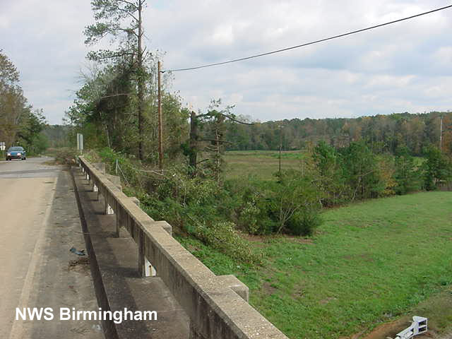 East end of County Road 68 overpass. |
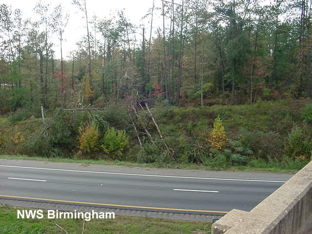 Damage on the southbound side of Interstate 65. |
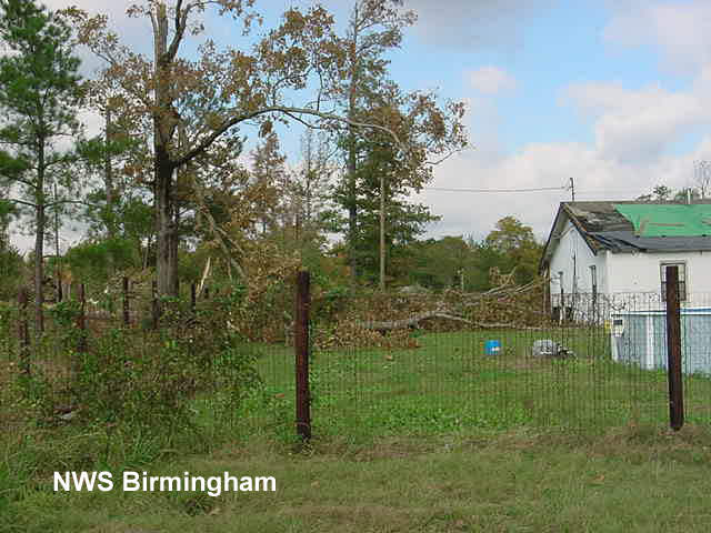 Tree and roof damage. |
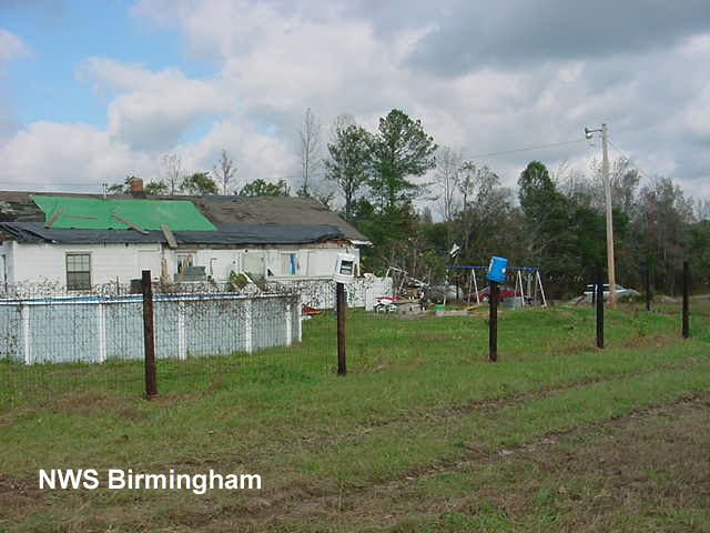 Building with damaged roof and porch. |
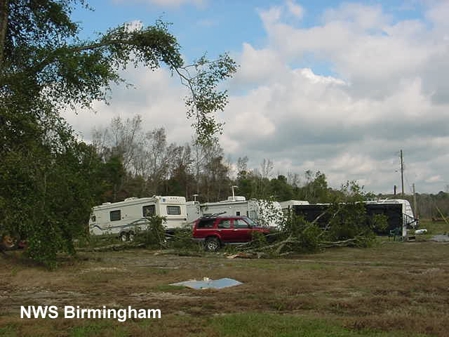 Overturned trailer. |
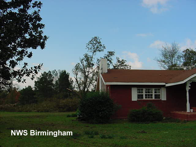 Damage to chimney bricks on roof, as well as trees. |
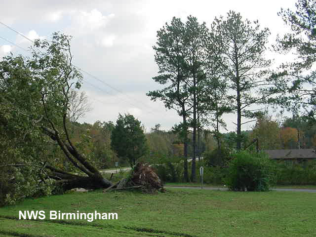 Large pecan tree uprooted. |
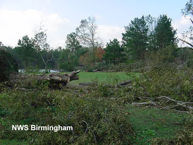 Multiple uprooted trees. |
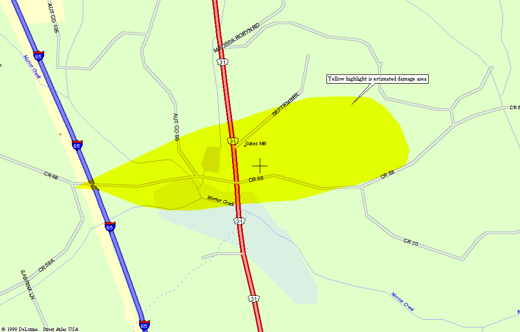 Map of the damage area. |


 Follow us on YouTube