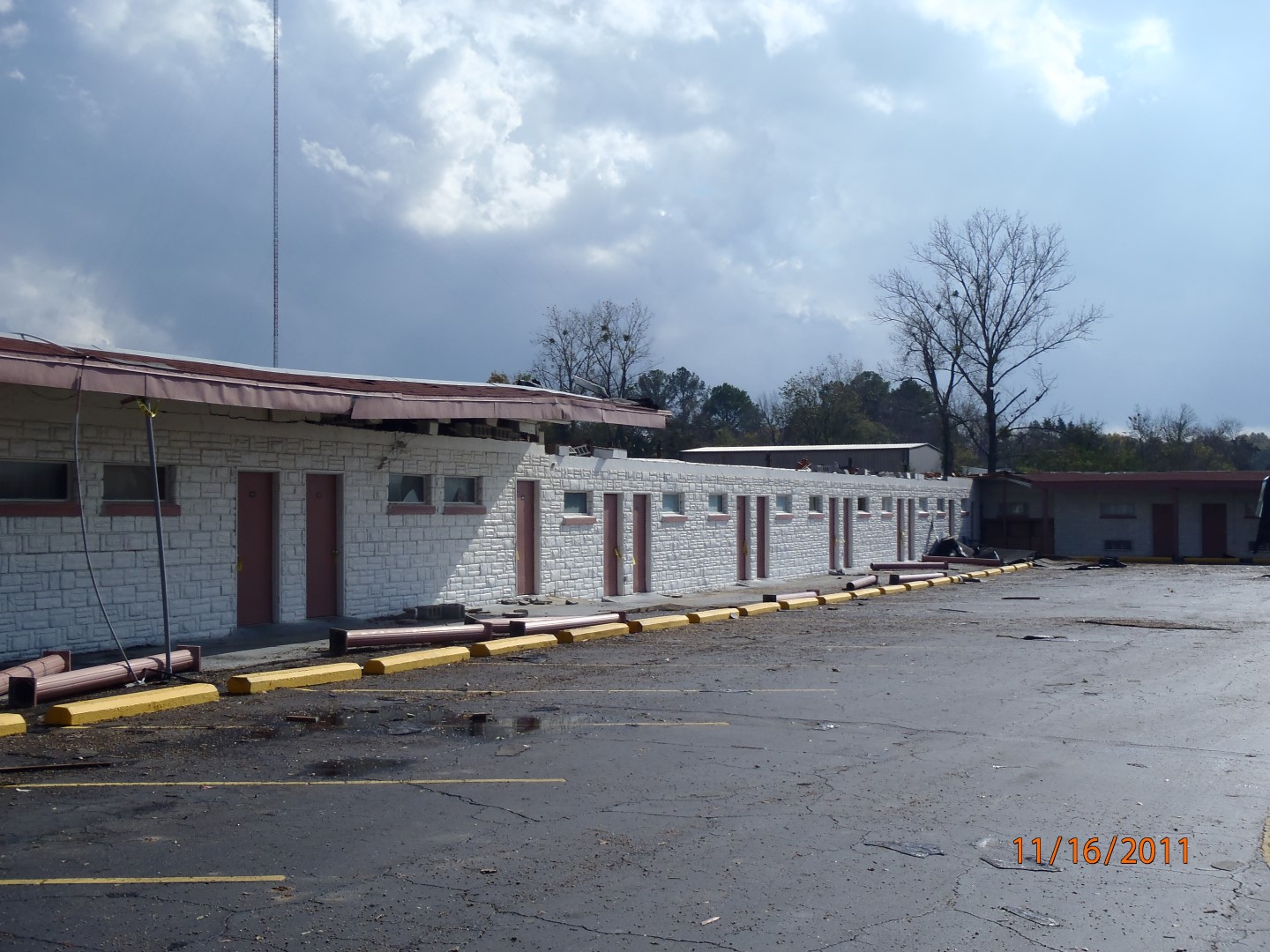
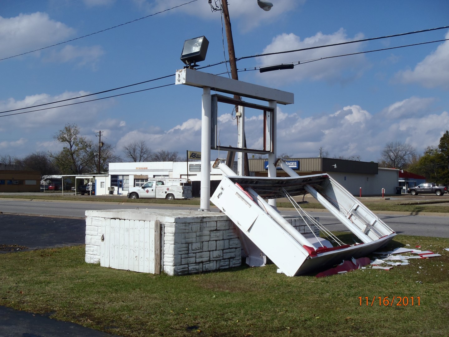
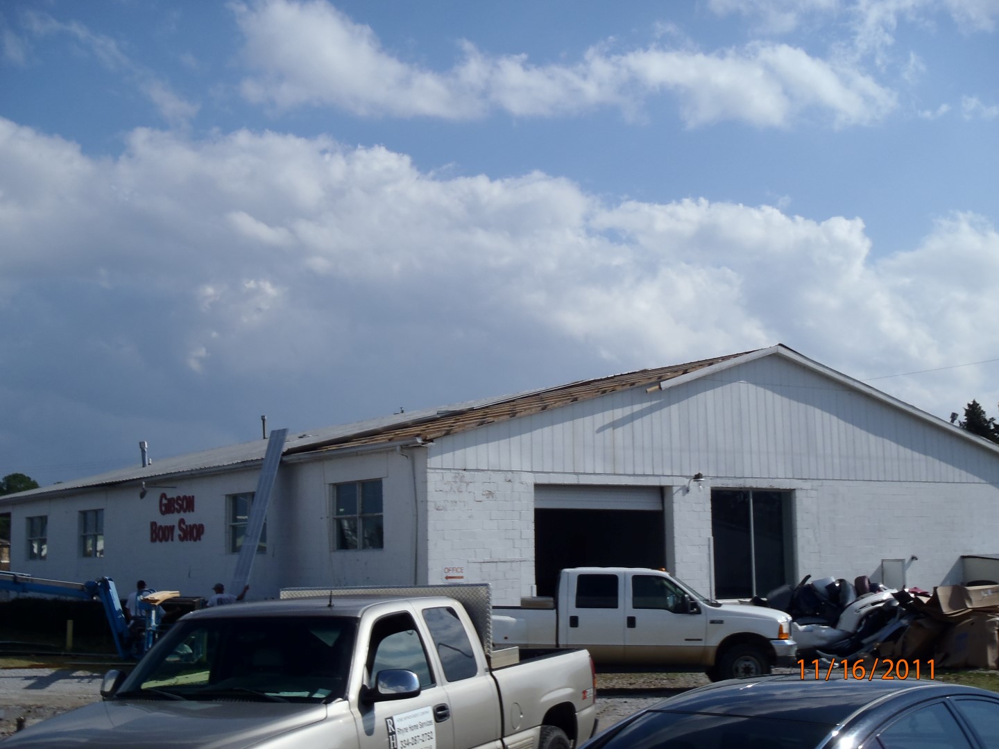
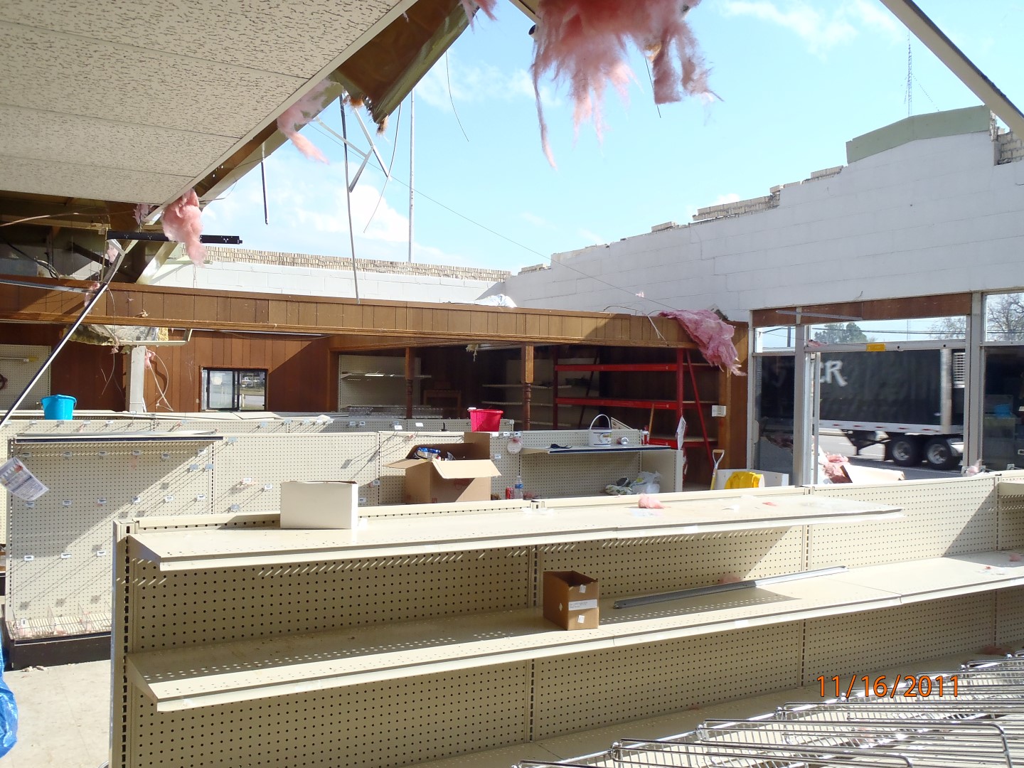
National Weather Service meteorologists surveyed damage near the city of Demopolis and assessed damage that was consistent with a tornado. An EF-0 tornado touched down along Maria Avenue and moved northeastward, where it crossed Jefferson Road. It lifted along U.S. Highway 80, just east of U.S. Highway 43. Approximately 20 homes in the Edgewood subdivision sustained minor roof damage. Several business signs along U.S. Highway 80 were blown down. The Central Farmers' Co-Op sustained significant damage as part of its roof was removed.
Radar Data
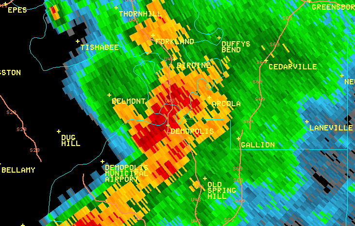
This is an image of the 0.5 degree reflectivity data from KBMX at 733 am as the circulation moved into Demopolis. Click to enlarge.
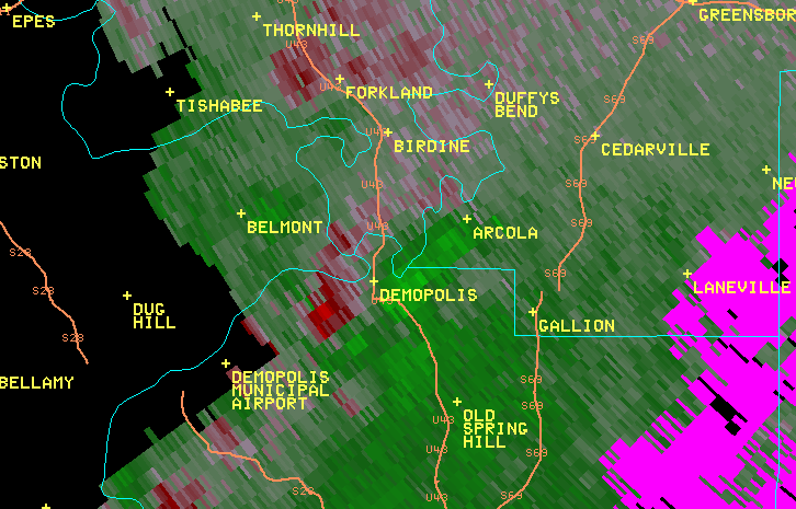
This is an image of the 0.5 degree velocity (SRM) data from KBMX at 733 am as the circulation moved into Demopolis. Click to enlarge


 Follow us on YouTube