|
Event Summary
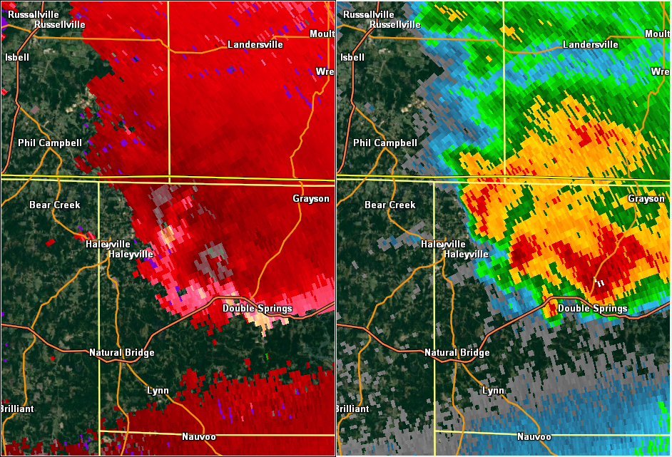
National Weather Service meteorologists surveyed damage in northwest Winston County near Forkville and determined that the damage was consistent with an EF-1 tornado.
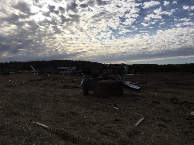
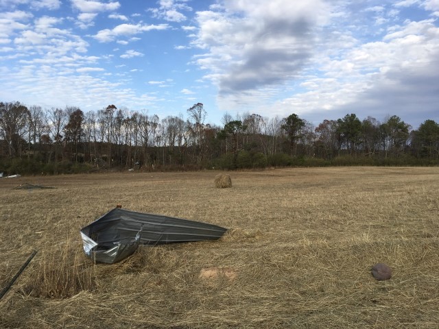
The tornado touched down about 5 miles east northeast of Haleyville. At initial touch down along Chicken Foot Road, there were a few trees that were blown down and minor damage to a garage roof. The tornado continued northeastward where it snapped several power poles, one home suffered roof damage, and some garage doors were blown in. A metal pole and rafter barn was destroyed and the debris was scattered across a field. Toward the end of the path, several tree trunks were snapped off. The tornado was 0.4 miles long and was 100 yards wide at its widest point. The tornado was rated an EF-1 with maximum winds around 105 mph.
|


 Follow us on YouTube