|
Event Summary
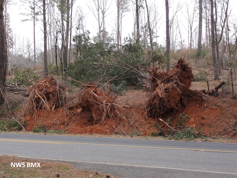
A National Weather Service Damage Assessment Team has surveyed the storm damage in Clay County. It has been determined the damage was the result of a tornado. The tornado has been rated an EF-0 on the Enhanced Fujita Scale. Damage estimates were consistent with winds between 75 & 80 mph.
The tornado touched down approximately 4.5 miles east of Hollins near the Brownsville Community or just south of Chapman Road on Brownsville Loop Road. Much of the damage path was very minor and consisted of tree limb damage. The most significant damage occurred along County Road 7 just north of Partridge Creek Road. Several trees were either uprooted or were snapped off in this area. Additionally, one vehicle suffered moderate damage due to a fallen tree. The tornado lifted just after it crossed County Road 7. The tornado damage path was only 1.7 miles long and was 40 yards wide at its widest point.
|


 Follow us on YouTube