National Weather Service United States Department of Commerce


Winter Storm of February 25, 2015
Overview Surface/Upper Air Videos
Photos Snow Totals Other Links
 

Overview

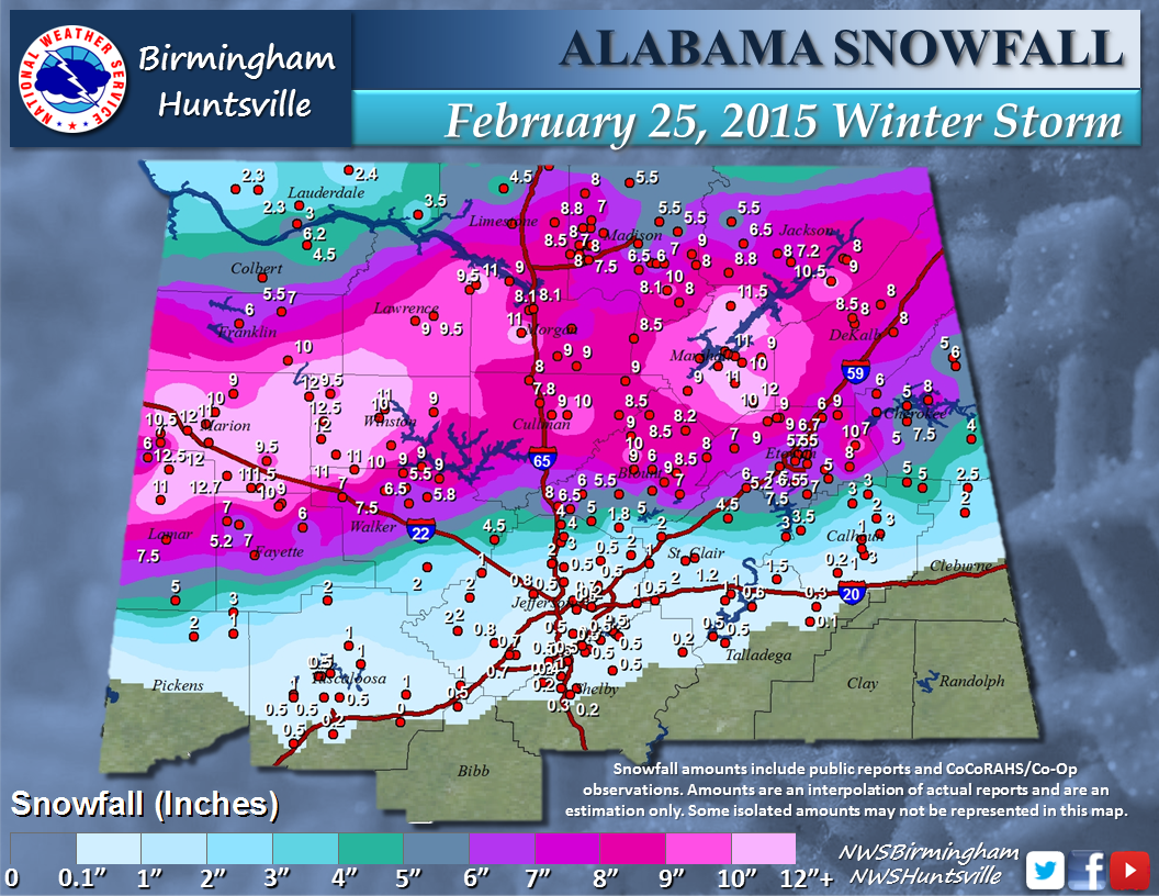
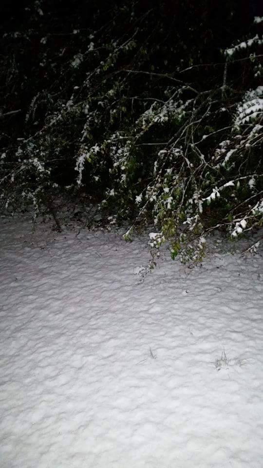
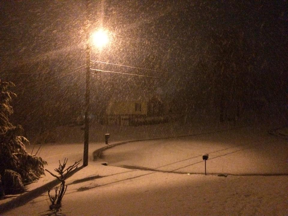
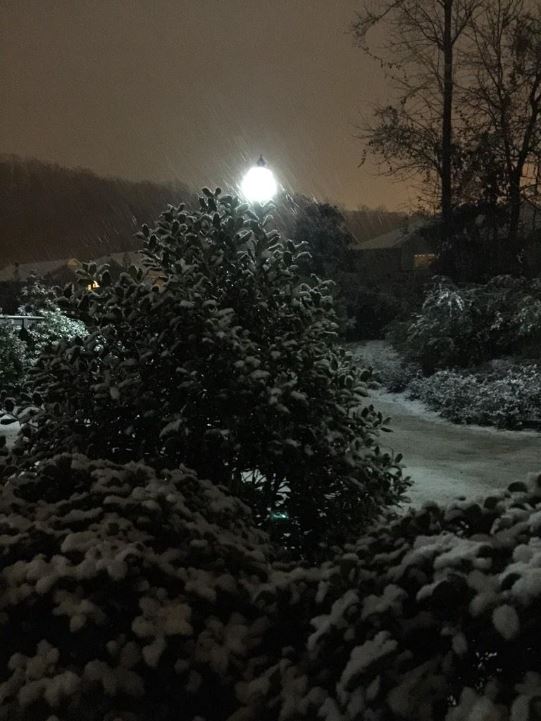
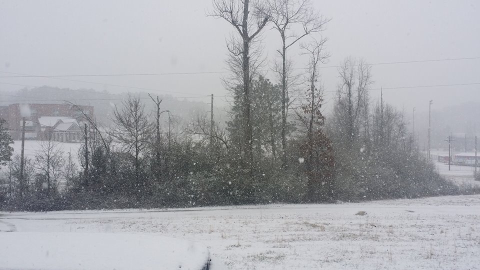
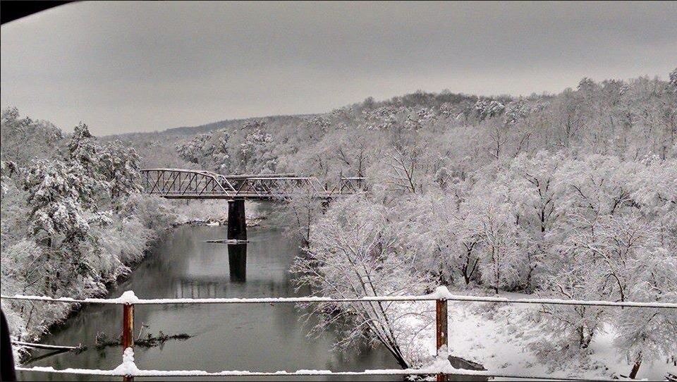
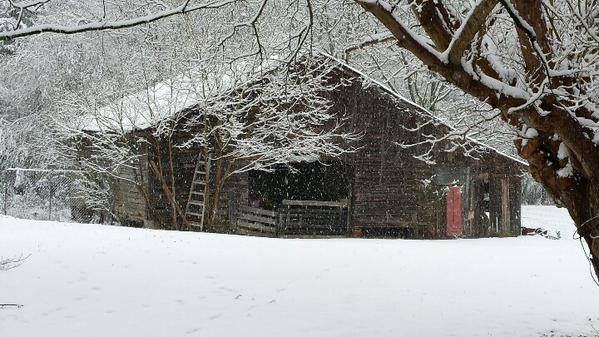
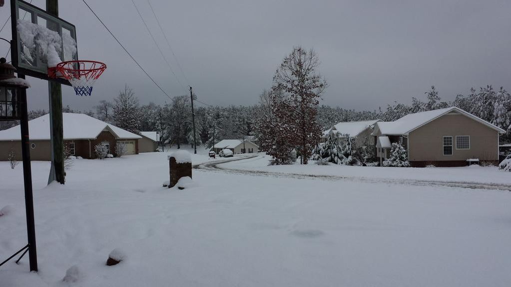
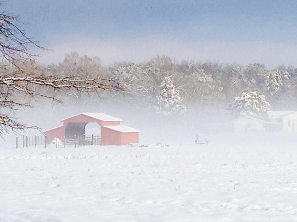
On Wednesday, February 25, 2015, many Alabamians experienced one of the largest snow storms on record as over 12 inches of snow were unofficially measured along the Highway 278 corridor in Marion County.  In addition, much of the northern two-thirds of the state saw snow during the afternoon and evening hours of the 25th, with totals of 1 - 2 inches near Interstate 20 increasing to 5 - 12 inches further north to the Tennessee state line.  The highest unofficial measurement came from Guin, Alabama, with 12.7 inches.

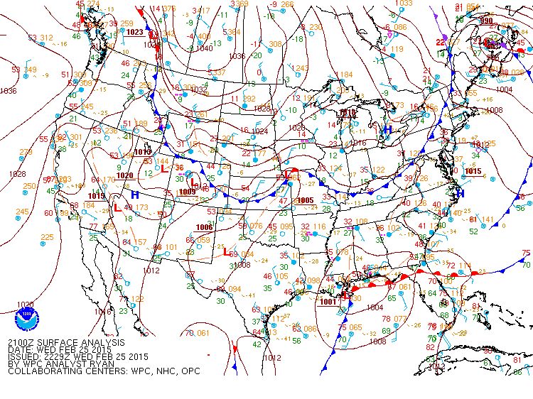
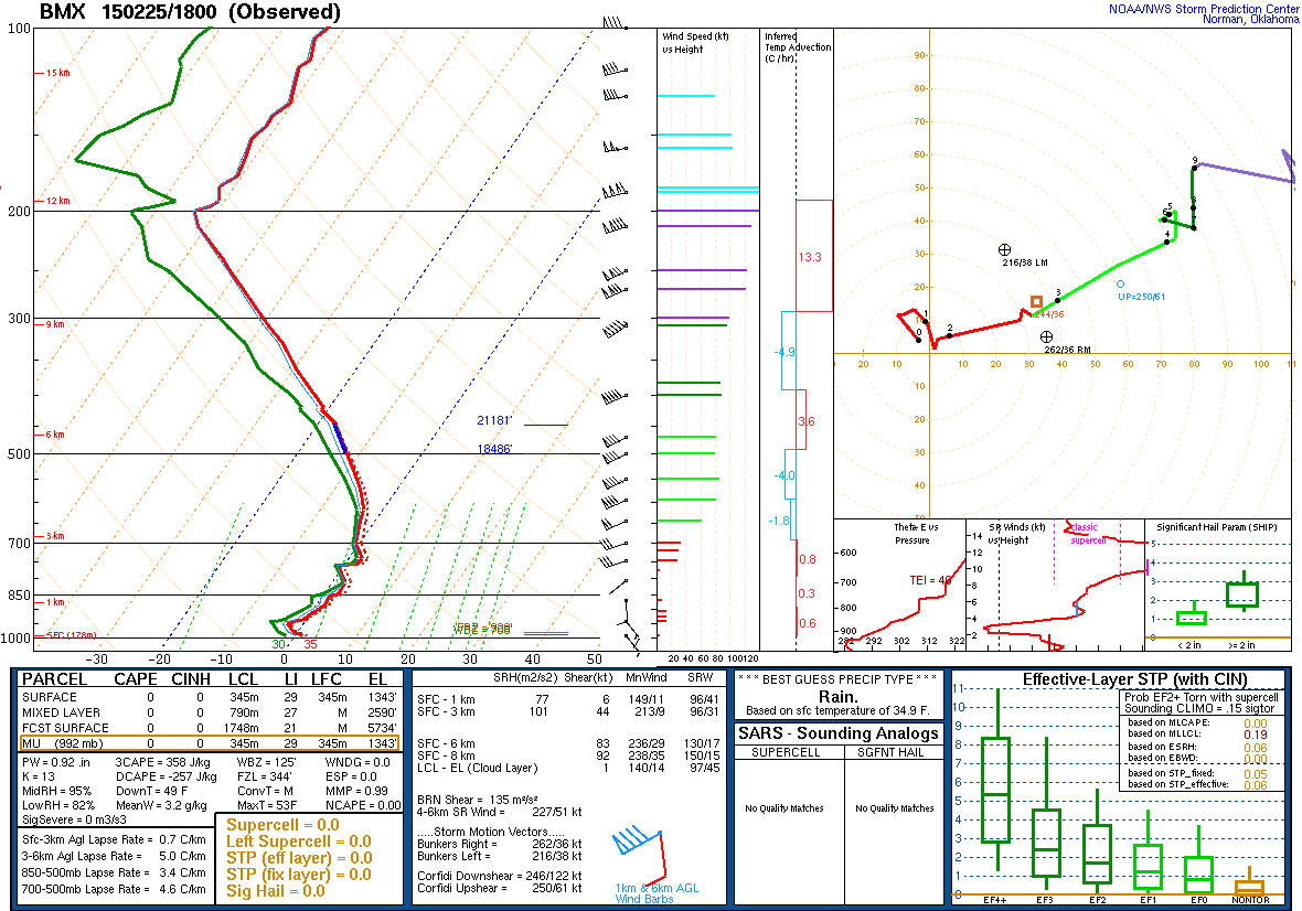
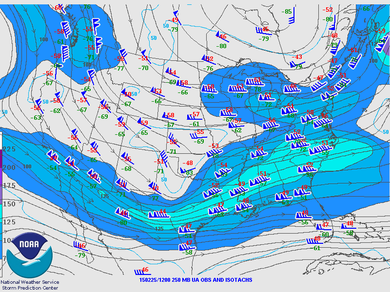
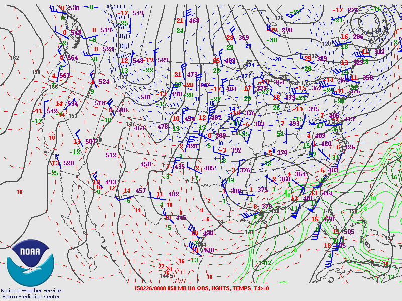
A cold front had moved through the region the previous weekend bringing arctic air to the Southeast.  Temperatures dropped into the teens and were slow to recover through the first half of the work week due to cloudy skies and several rounds of precipitation Sunday through Tuesday.  However, the bigger concern was lurking on Wednesday as a strong gulf system was poised to take a run from Texas eastward through the Carolinas.  This system had a tremendous amount of moisture, in fact near the 75th percentile for February, and along with the colder air already in place, brought the threat for a very heavy snowfall.

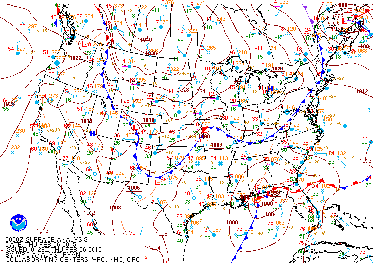
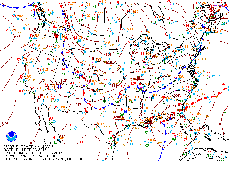
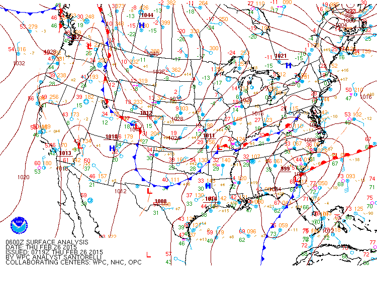
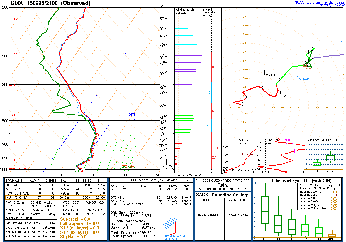
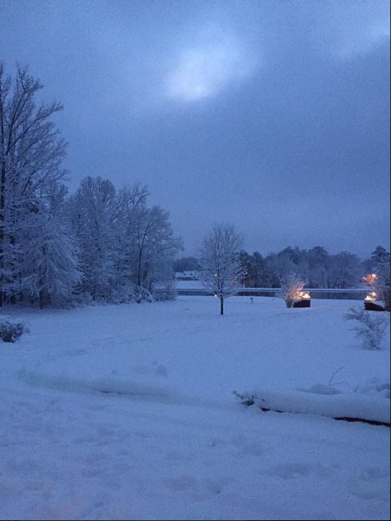
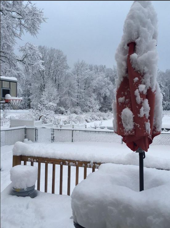
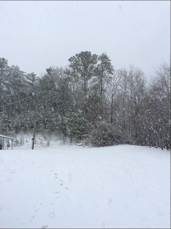
The northern gulf low continued to strengthen through the day decreasing several millibars as it moved into Georgia during the evening hours.  This event began with temperatures in the middle, and in some cases upper 30s, mid-morning on Wednesday, and had to rely on dynamic cooling to change the rain to snow.  Thanks to those heavy rates, colder air from aloft quickly replaced the warmer air and rain changed to snow to the delight of most. The interesting prospective of this storm came with the high snowfall rates experienced.  Much of the area saw 1 - 2 inches per hour, a rarity for Alabama.  The snow was also moisture heavy, making for a very wet and sticky snow, which piled up very quickly. Unfortunately for some, that type of snow also melts very quickly!

This was one of the most challenging forecasts experienced in quite a while.  Temperatures from 5000 feet down to the surface were going to be extremely close to either a heavy wet snow or just a cold rain.  While most of Central Alabama was disappointed as only rain fell, some experienced one of the largest snowfalls on record that won't be soon forgotten.

How did this event compare to some of the biggest snowstorms that have affected North Central Alabama? Find out here.


Surface/Upper Air

Surface Charts

Surface Chart at 6am Feb 25th

6 AM Feb 25th

Surface Chart at 9am Febuary 25th

9 AM Feb 25th

Surface Chart at 12pm February 25th

12 PM Feb 25th

Surface Analysis at 3pm February 25th

3 PM Feb 25th

Surface Analysis at 6pm February 25th

6 PM Feb 25th

Surface Chart at 9pm February 25th

9 PM Feb 25th

Surface Chart at 12am February 26th

12 AM Feb 26th


KBMX Upper Air Soundings

KBMX Sounding at 6am February 25th

6 AM Feb 25th

KBMX Sounding at 9am February 25th

9 AM Feb 25th

KBMX Sounding at 12pm February 25th

12 PM Feb 25th

KBMX Sounding at 3pm February 25th

3 PM Feb 25th

KBMX Sounding at 6pm February 25th

6 PM Feb 25th


Upper Air Charts

250mb Chart at 6am February 25th

250 mb Chart at 6 AM Feb 25th

500mb Chart at 6am February 25th

500 mb Chart at 6 AM Feb 25th

850mb Chart at 6am February 25th

850 mb Chart at 6 AM Feb 25th

250mb Chart at 6pm February 25th

250 mb Chart at 6 PM Feb 25th

500mb Chart at 6pm February 25th

500 mb Chart at 6 PM Feb 25th

850mb Chart at 6pm February 25th

850 mb Chart at 6 PM Feb 25th

 
Snow Totals
 

Preliminary Snowfall Totals

For a complete list of all snow reports received during/after the event, click here.

 
Photos
 

Northwest Snow

Hackleburg
Courtesy of Augy Avery

Fayette
Courtesy of @TideTweeter1831

Sulligent
Courtesy of Jennifer Knight

Smith Lake
Courtesy of Dave Warren

Curry
Courtesy of Anna Kilgore

Natural Bridge
Courtesy of Alicia Miles Dodd

Millport
Courtesy of Dallas Dawkins

Walker County
Courtesy of Richard Scott

Double Springs
Courtesy of Mallory Hood

Fayette
Courtesy of Rayanna Maddox

Sulligent
Courtesy of Kerri Wadsworth

Sumiton
Courtesy of Jeannie Phillips

Hamilton
Courtesy of Susan Burleson

Hamilton
Courtesy of Deana Warner

Hamilton
Courtesy of Christy Langley

Hamilton
Courtesy of Earl Woods

Hamilton
Courtesy of Deana Warner

Guin
Courtesy of Derick Stidham

Guin
Courtesy of Jamie Dozier

Winfield
Courtesy of Chris Reese

Lynn
Courtesy of Gina Chambers

Double Springs
Courtesy of Paula West

Burnwell
Courtesy of Amber Tubbs

Bagley
Courtesy of Nick Wood

Fayette
Courtesy of Annette Dozier

Fayette
Courtesy of Jennifer Hess

Vernon
Courtesy of Blair Eiynck

Lamar County
Courtesy of Jamie Rushing

Glen Allen
Courtesy of Randall Carter

Carbon Hill
Courtesy of Ami Campbell

Delmar
Courtesy of Elizabeth Noles

Jasper
Courtesy of Amanda Humber

Gordo
Courtesy of Ashley Hickman

McShan
Courtesy of Tara Easterwood

Tuscaloosa
Courtesy of @jarua


Birmingham Area Snow

Adamsville
Courtesy of Tori Farris

Highland Park
Courtesy of @themarcusplace

Hoover
Courtesy of Sukaina Jafri

Kimberly
Courtesy of Samatha Keedy

Gardendale
Courtesy of @Kimberly516

Bluff Park
Courtesy of Lauren Winter

Inverness
Courtesy of @cmbrogan

Linn Park
Courtesy of Adrienne Murphy

Inverness
Courtesy of Hailey Lann


Northeast Snow

Black Creek
Courtesy of Vic Bell

Blount County
Courtesy of Cliff Jones

Gadsden
Courtesy of Melissa Kinsler

Jacksonville
Courtesy of Joy Havran

Weiss Lake
Courtesy of Brandon St Clair

Blount/Cullman line
Courtesy of Cliff Jones

Nectar
Courtesy of Cyn Carpentar

Oneonta
Courtesy of Blount County 911

Noccalula Falls
Courtesy of Ryan Kuykendall

Oneonta
Courtesy of Kristy Frost

Locust Fork
Courtesy of Bobby Edwards

Rainbow City
Courtesy of Kimberly Patty Grape

Hokes Bluff
Courtesy of KaNesha Warr

Hokes Bluff
Courtesy of Linda Howington

Locust Fork
Courtesy of Rebecca Reeves

Susan Moore
Courtesy of Carolyn Dison

Blount/Etowah line
Courtesy of Alicia Blake

Blount Springs
Courtesy of Ryan Love

Noccalula Falls
Courtesy of Ryan Cartee

Rainbow City
Courtesy of Eric Wright

Centre
Courtesy of Brandi Ralene

Gadsden
Courtesy of Ryan Cartee

Remlap
Courtesy of Chip Scarborough

Oneonta
Courtesy of James McConatha

Centre
Courtesy of @kalista_10

Cherokee County
Courtesy of Landon Marks

Piedmont
Courtesy of Piedmont Rescue

Blount County
Courtesy of Travis Tucker

Blount Springs
Courtesy of Ryan Love

Centre
Courtesy of Darlene Rainey

Glencoe
Courtesy of Stephanie Self

I-65 Blount/Cullman line
Courtesy of @ajerilee

Gadsden
Courtesy of Emily Osborn

Hayden
Courtesy of Kimberly Elaine Phillips

McClarty (Snead)
Courtesy of Creig Poole

Pell City
Courtesy of Malia Leiter

Northeast Ice

Blue Mountain (Anniston)
Courtesy of Hayes Jackson

Blue Mountain (Anniston)
Courtesy of Hayes Jackson

Pinson/Clay
Courtesy of Larry Mason

Springville
Courtesy of J. Skellett


Videos

Timelapse of Snow in Gadsden. Courtesy of Gadsden Times.
 

Other Links

NWS Huntsville
NWS Jackson, MS
NWS Atlanta