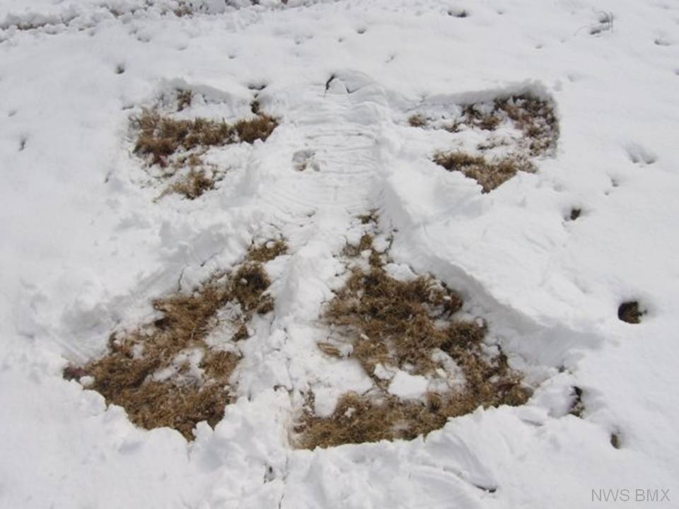
Central Alabama Snow Event - March 1, 2009
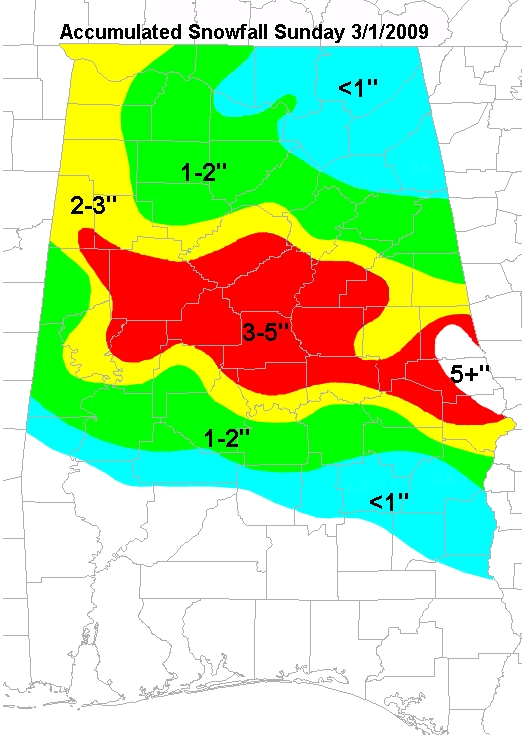
In the early hours of Sunday morning, March 1st, precipitation being wrapped around a low pressure system to the east of Central Alabama began to move into the northwest counties of Marion, Lamar and Winston. Shortly after it began to rain, another strong upper level trough pushed arctic air into the state. The combination and timing of the cold air and moisture created the largest area-wide snow event since 1993. Snow began falling in the western counties around 2 AM and spread across the state throughout the morning hours. Some intensification of the upper level low was seen later in the morning, which allowed for some of the eastern counties of Alabama to see upwards of 5 inches of snow.

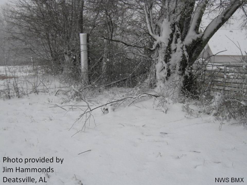

Skies cleared out quickly behind the snowfall, allowing for temperatures to climb into the lower 40s by the middle of the afternoon. This allowed for the snow to quickly melt and the only thing Alabama experienced was the beautiful snow covered trees without the hassle of cancelled school and businesses. Here is a visible satellite image and map illustrating the snowfall totals for Sunday, March 1st.


 Follow us on YouTube