|
Overview
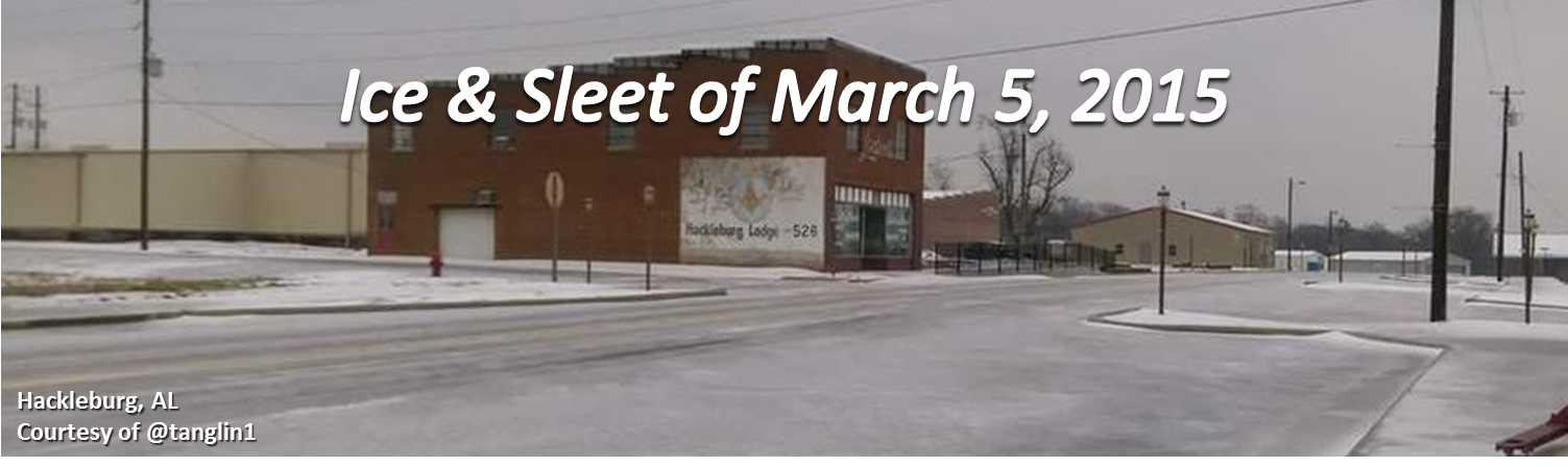
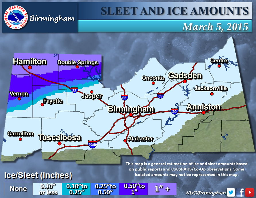
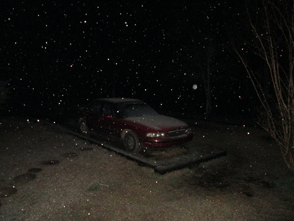
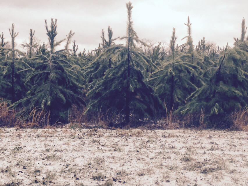
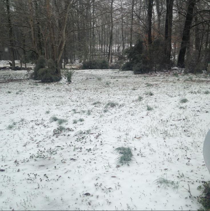
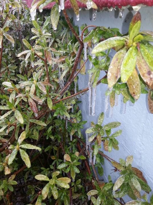
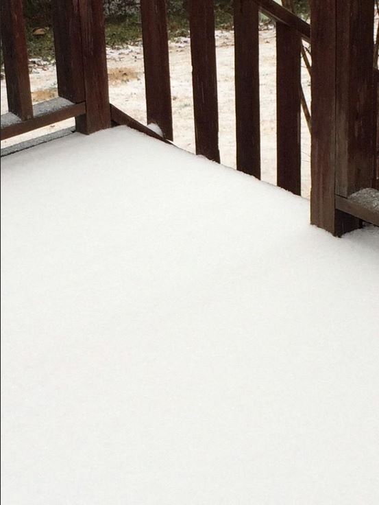
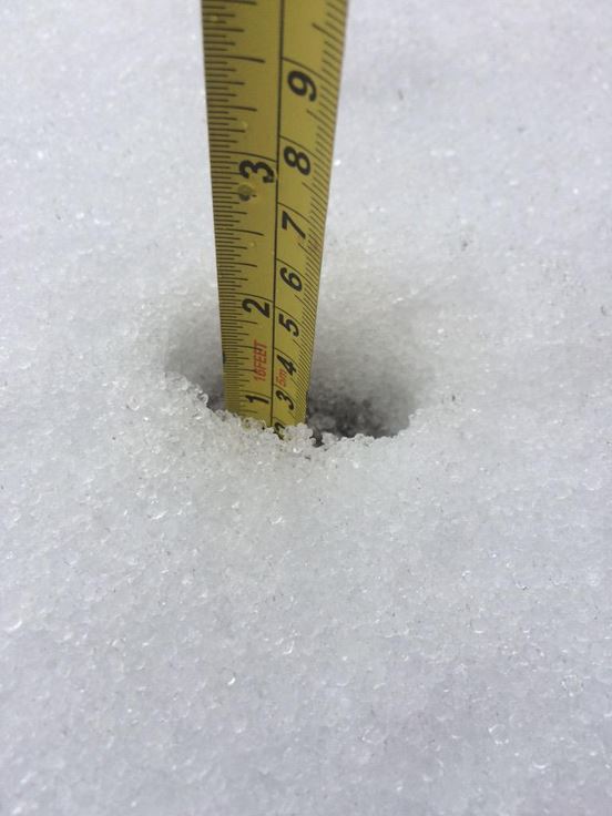
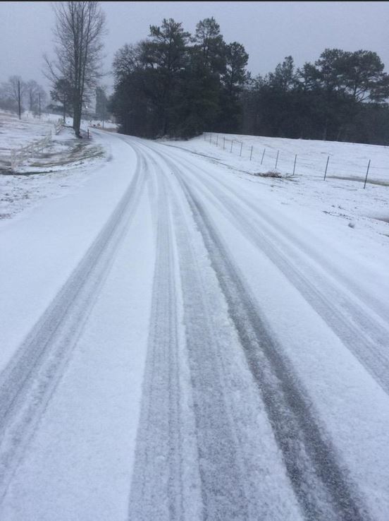
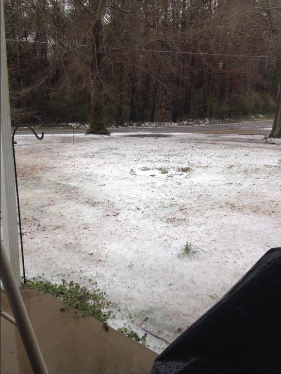
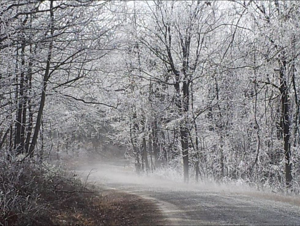
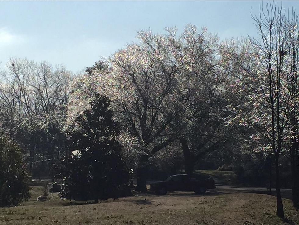
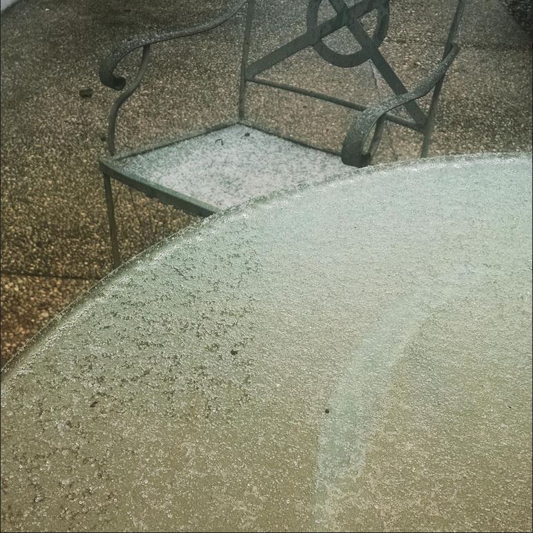
On Thursday, March 5, 2015, the northern half of Central Alabama observed a mix of wintry precipitation mainly in the form of sleet and freezing rain. The highest totals occurred across the northwest counties of Central Alabama, where locations such as Hamilton, Double Springs, and Bear Creek picked up over one inch of a combination of freezing rain and sleet. Farther south along the I-20 corridor, very small accumulations of one tenth of an inch or less were observed, but that was just enough to make for some hazardous travel conditions on bridges and overpasses. Elevated surfaces were reported as having a glaze of ice accumulation as well.
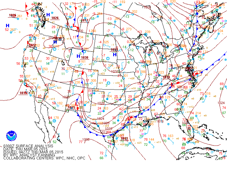
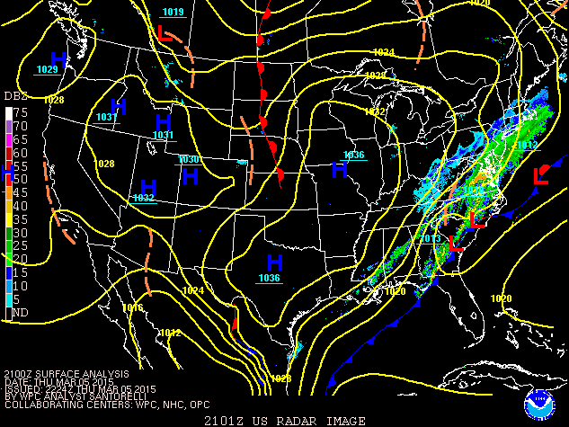
Just one day before on March 4, it seemed hard to believe that wintry precipitation would even be possible. Central Alabama was out ahead of an arctic cold front that stretched from Little Rock, Arkansas northeastward into the Ohio River Valley. North of the front, temperatures in the teens and 20s were observed, while 60s and 70s were present over much of the southeast with a warm and moist southerly surface flow. In fact, Birmingham observed a high of 79, Tuscaloosa observed 80, and Montgomery observed 81 degrees on the afternoon of March 4th. The arctic cold front then plunged southeastward across Central Alabama during the overnight hours of March 4th into the early morning hours of March 5th. With help from a very strong 1035 mb surface ridge across the Northern Plains pushing the arctic air southward, temperatures plummeted into the 30s across the northern half of the state after midnight on March 5th.
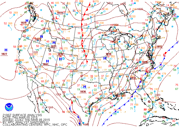
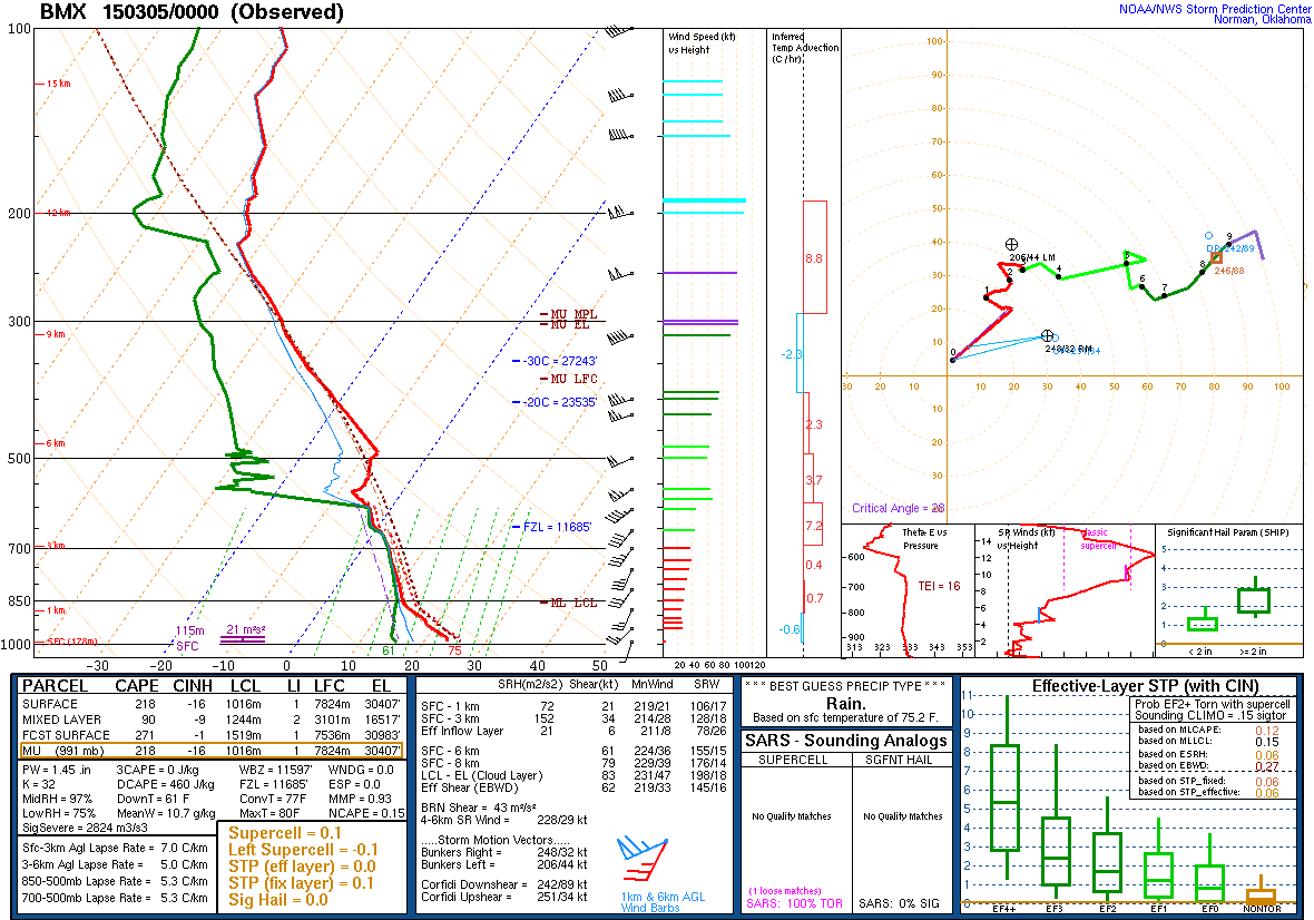
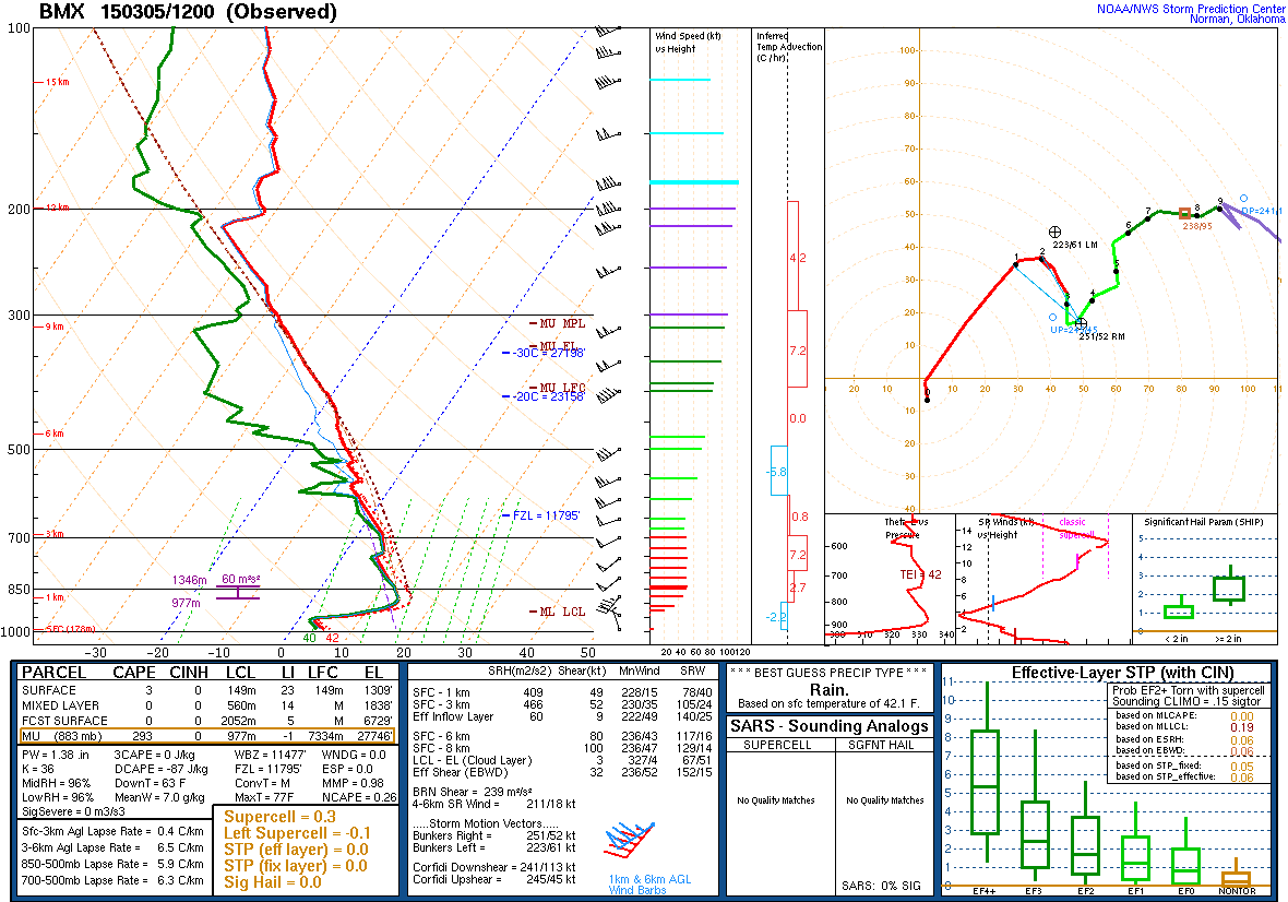
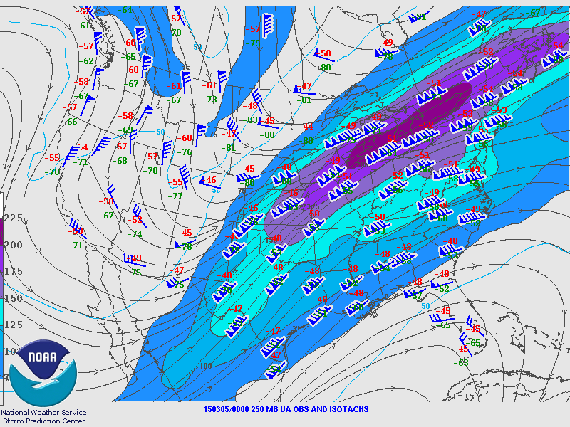
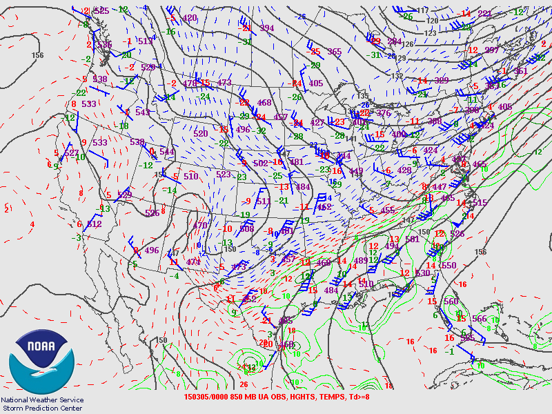
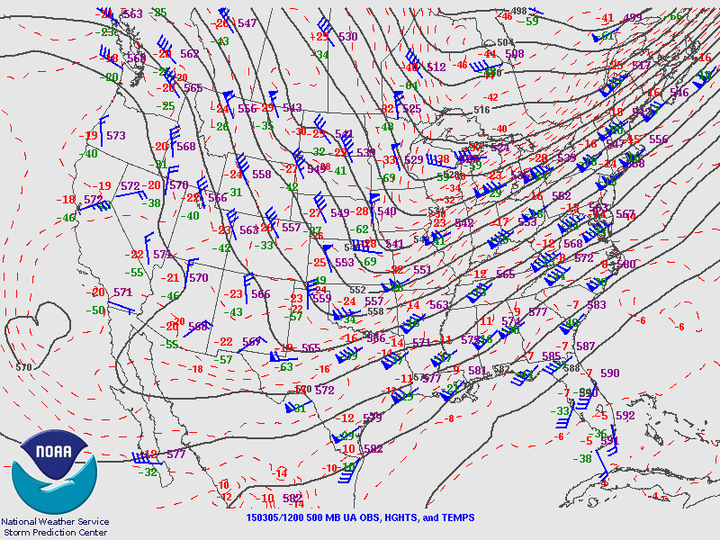
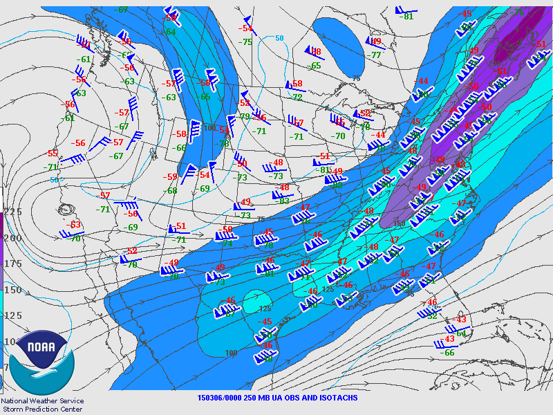
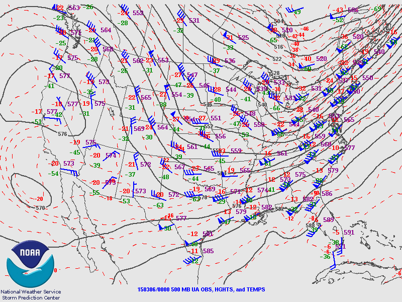
Meanwhile, a very strong upper level shortwave was rounding the base of a longwave trough across Southern Texas. That shortwave, along with a very strong 250 mb jet streak of 180+ knots passing off to our northeast joined forces to produce enough lift for precipitation development behind the arctic cold front. A southwesterly flow aloft also transported warm and moist air northeastward to support precipitation development. Wintry precipitation began as freezing rain across Marion, Lamar, and Winston Counties by 6 AM Thursday morning, quickly transitioning over to mostly sleet. This was contrary to most model forecast sounding data on March 4th, that advertised enough warm air aloft to completely melt the precipitation into water droplets and create freezing rain at the surface. The model guidance actually underestimated the amount of cold arctic air just aloft at 925 mb (3800 ft). Temperatures of -6 to -7C at that level were actually cold enough to re-freeze those water droplets back to sleet. Ice crystal growth was also able to occur, as very small snowflakes were commonly observed mixing in with the sleet.
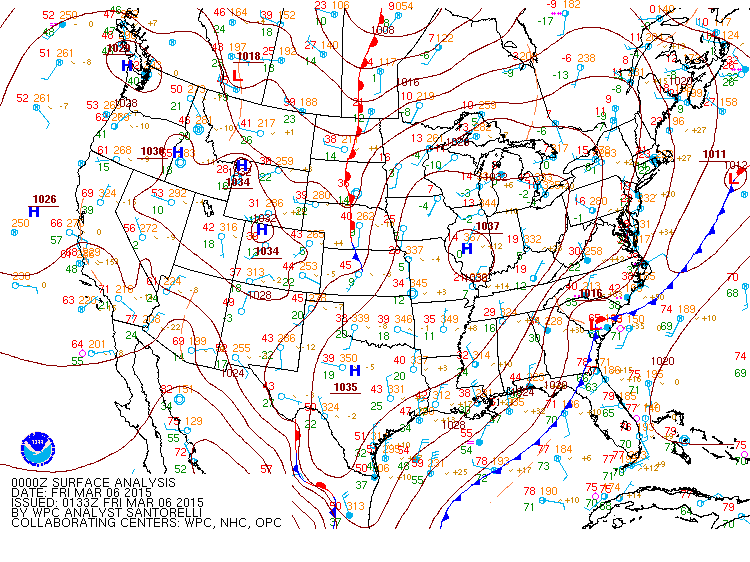
The freezing line slowly advanced southeastward through the morning and early afternoon of March 5, reaching the I-59 corridor by noon. Precipitation began as freezing rain, then transitioned to a mix of freezing rain and sleet for the rest of the event. Generally one tenth of an inch or less of sleet, along with a glaze of ice, was observed along and just south of the I-59 corridor in Central Alabama. Sleet was observed as far south as Demopolis, Livingston, Clanton, and Alexander City. The precipitation ended early Thursday afternoon as the forcing and lift pushed off to the east of Central Alabama.
Another interesting note from this event is the drastic temperature change that occurred within a 24 hour period. On March 4th at 1 PM, Birmingham's observed temperature was 77, while on March 5th at 1 PM the temperature was 29 degrees, a 48 degree drop in 24 hours. Such a drastic temperature drop in a short period of time was certainly unprecedented, and has rarely been seen over the past several decades across Central Alabama.
|


 Follow us on YouTube