National Weather Service United States Department of Commerce

...Jan 28-29, 2014 Snow and Ice Event...

Event Synopsis...

At the surface, a strong arctic airmass moved into the region the morning of the 28th, with the cold front stalling off the Atlantic Coast. Aloft, upper level energy moved across the region from the early afternoon of the 28th through the early morning hours of the 29th. The first round of precipitation began as a mixture of rain and sleet for much of the area. This was mainly due to surface temperatures remaining just above freezing, and a warm nose of air a few thousand feet off the surface. This rain began to change over to a mixture of freezing rain and sleet across the eastern portions of the state...while western areas began to change over to snow during the late evening of the 28th. Snowfall totals averaged between 2 and 3 inches with some isolated higher amounts also reported. Ice totals of between a tenth of an inch, to as high as three quarters of an inch occurred across eastern portions of the NWS Columbia County Warning Area.


stormfall


stormfall


stormfall


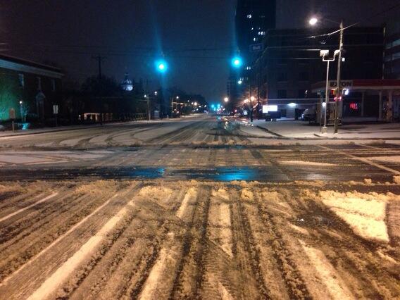
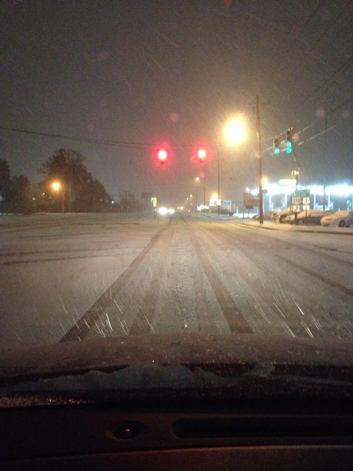
Photos from across the Region (click for a larger image)
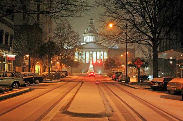
Columbia - Courtesy Amy Aaronson.
SC State House -
Courtesy Gerry Melendez
Ballentine, SC
Courtesy Haugenschlauger
Patrick, SC- Courtesy Jasa Hodge
Sumter, SC -
Courtesy Kim Kim Foster-Tobin
Williams Brice Stadium
Courtesy Ryan Fischer
Village at Sandills
Courtesy WACH Fox
Columbia -
Courtesy WIS-TV
Patrick, SC
Courtesy Jasa Hodge
Columbia Airport- Courtesy NWS
Columbia Airport -
Courtesy NWS
Lexington, SC
Courtesy NWS