 What Has Happened:
+Significant rainfall of 4" to 6" (with a few locations coming in over 10") has led to widespread flooding across northern to northeastern Iowa.
+Sandbagging and evacuations have been necessary in some locations in northeastern Iowa.
+ The Cedar, Iowa, and Shell Rock River basins were impacted by this heavy rainfall and will continue to see significant rises over the next week.
What is Forecast:
+Additional rainfall (~0.5" to 1") is expected Saturday night into late Sunday morning...
+Depending on the location and magnitude of rainfall, additional flooding will likely be possible.
+Many river stages will continue to rise, cresting between Friday evening and Sunday morning.
What You Can Do:
Stay informed...
+ NWS Des Moines Local Forecast
+ Central Iowa River Forecasts
Specific point forecasts:
+ Cedar River @Cedar Falls
+ Cedar River @Waterloo
+ Cedar River @Janesville
+ Shell Rock River @Shell Rock
Stay safe...
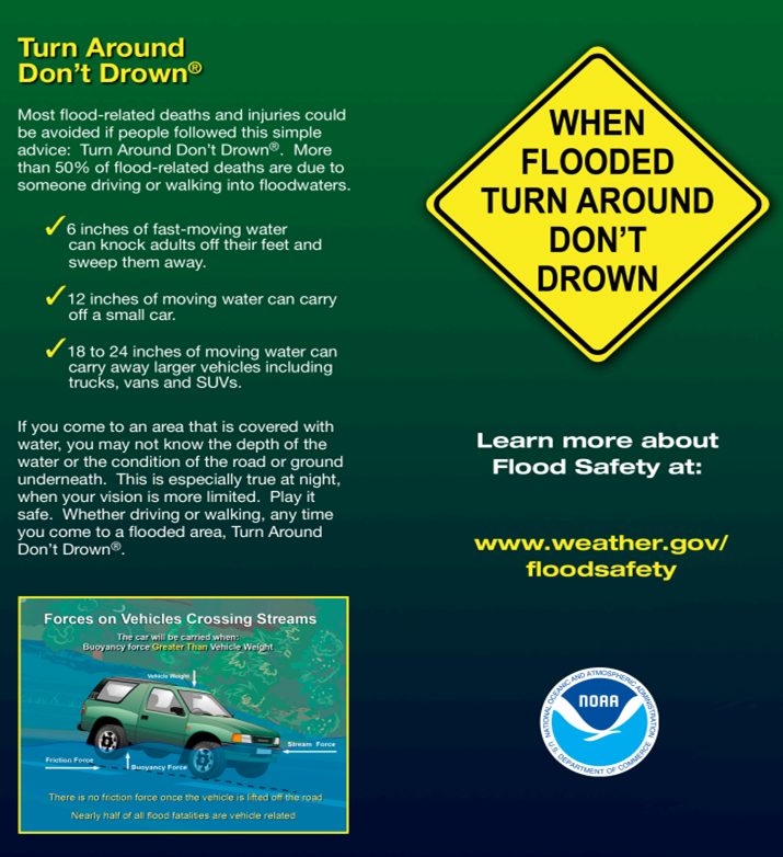
+ TURN AROUND, DON'T DROWN!
+ Be prepared: Before, during, and after a flood
+ Avoid flood waters and disaster areas
+ Heed 'Road Closed' and other cautionary signs/barricades


 Follow us on YouTube