Strong Winds Hit Kansas City
A significant severe weather event impacted the greater Kansas City Metro on the evening of Saturday July 22nd. The animation below shows radar estimated winds from the Pleasant Hill Doppler radar between 9:11 PM and 11:20 PM. Notice the bright whites across portions of Johnson County, KS towards the beginning of the animation. During this time frame, wind gusts of up to 80 mph were reported in De Soto and Lenexa. This corridor or strong winds then pushed eastward across southern portions of the Metro, before continuing all the way east through the remainder of the Pleasant Hill forecast area. Wind gusts of 70 mph were commonly reported as this activity pushed eastward into western and central Missouri.
.gif)
Doppler Radar estimated wind speed animation from 9:11 PM - 1120 PM
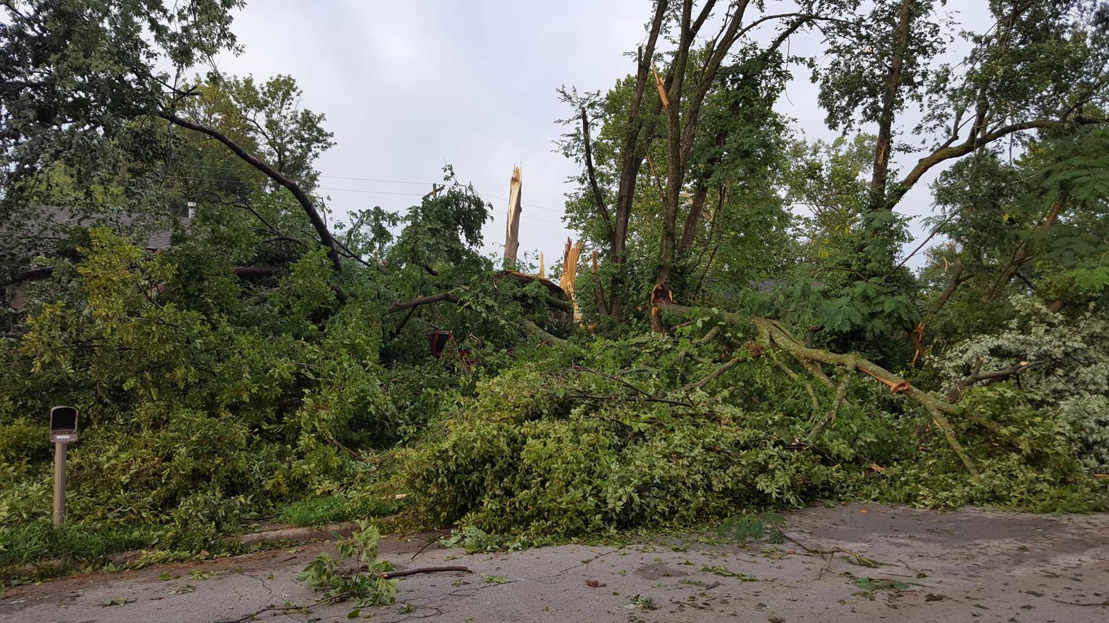
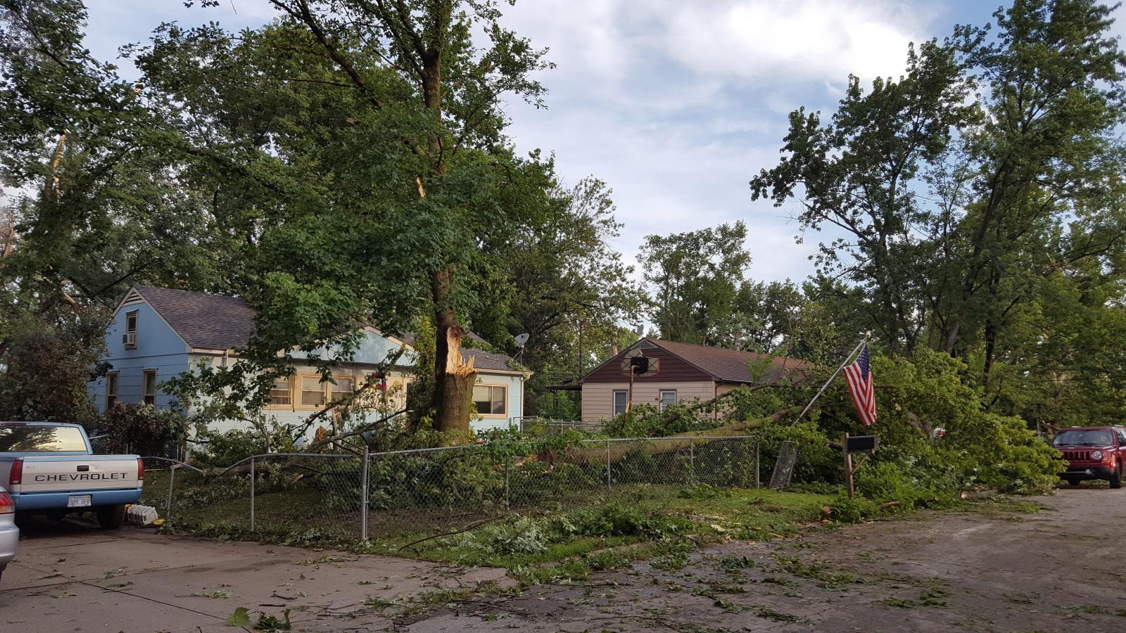
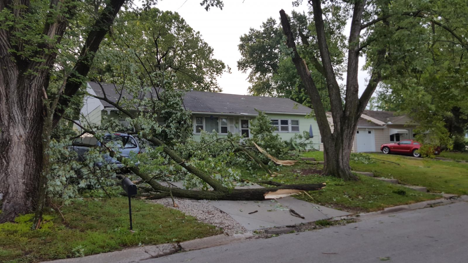
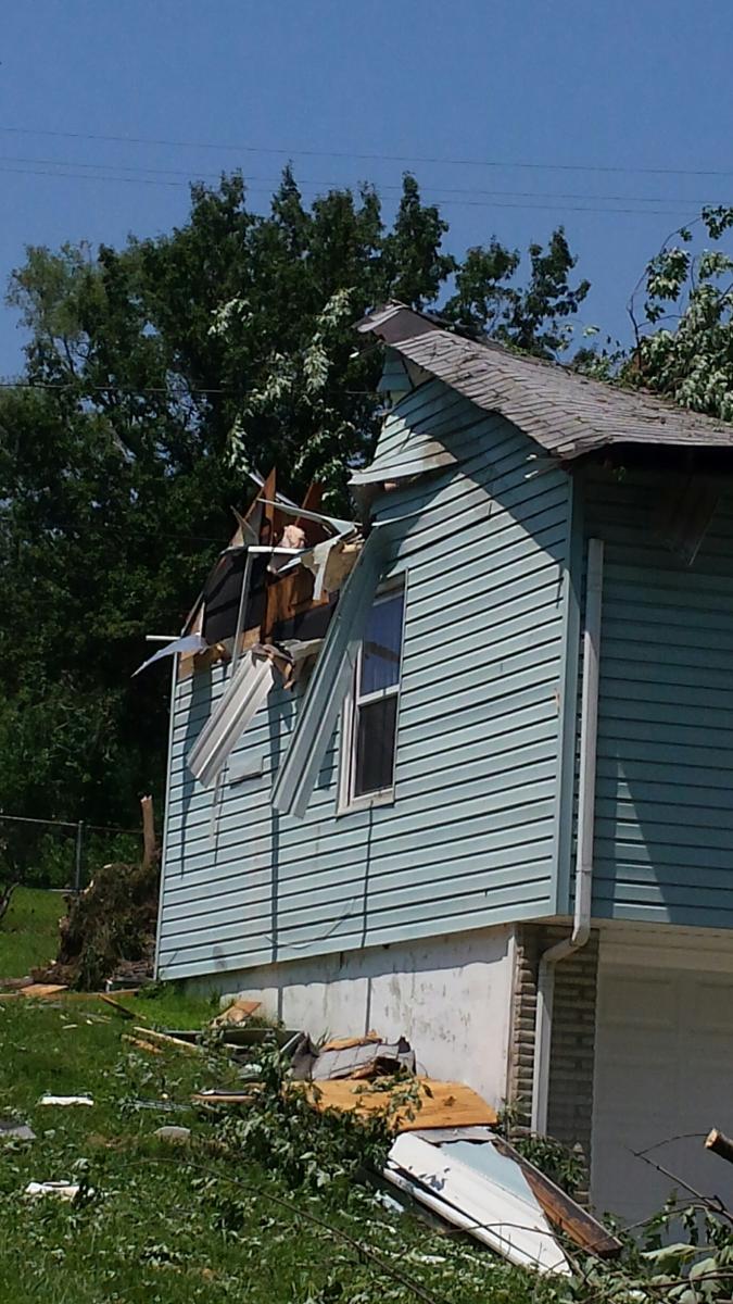
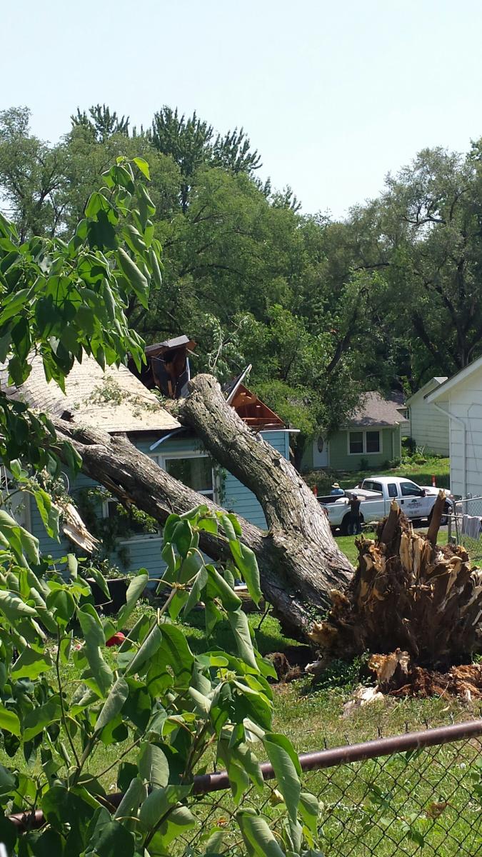
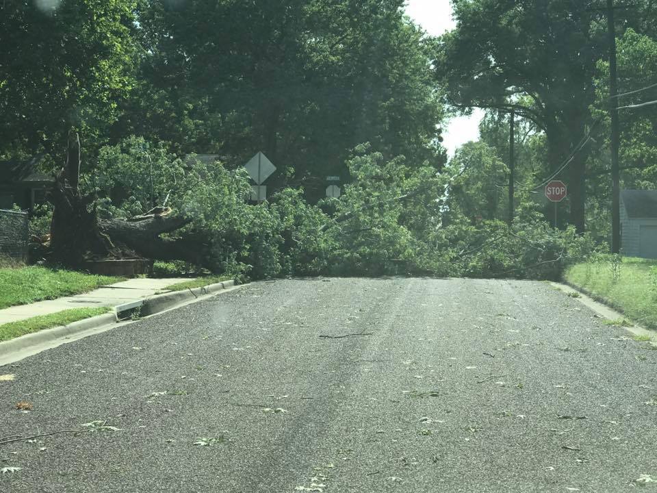
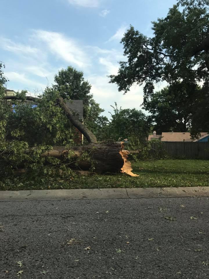
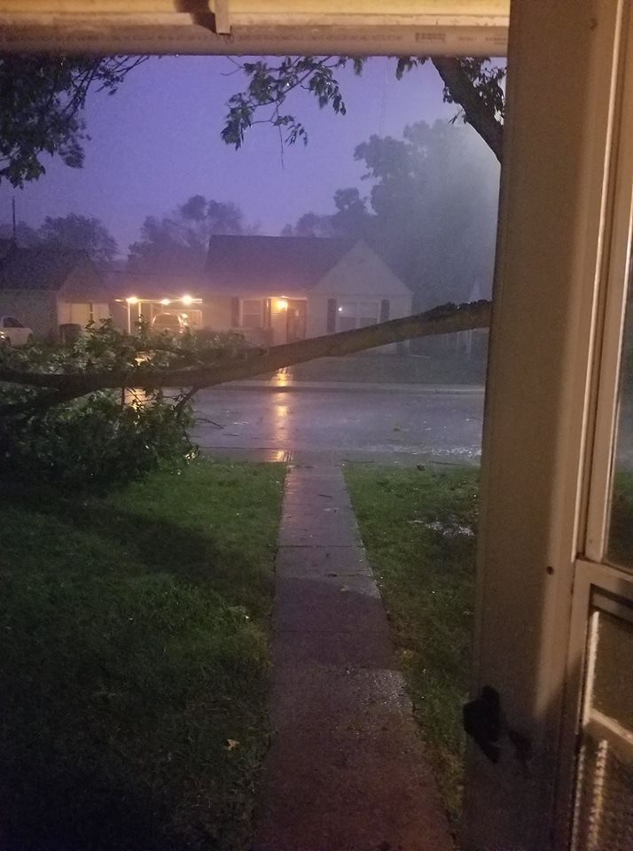
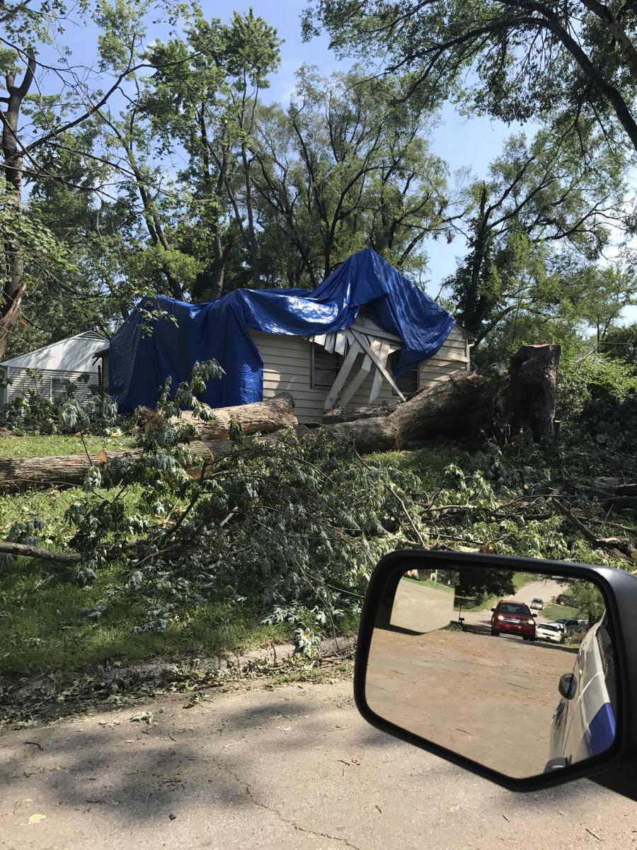
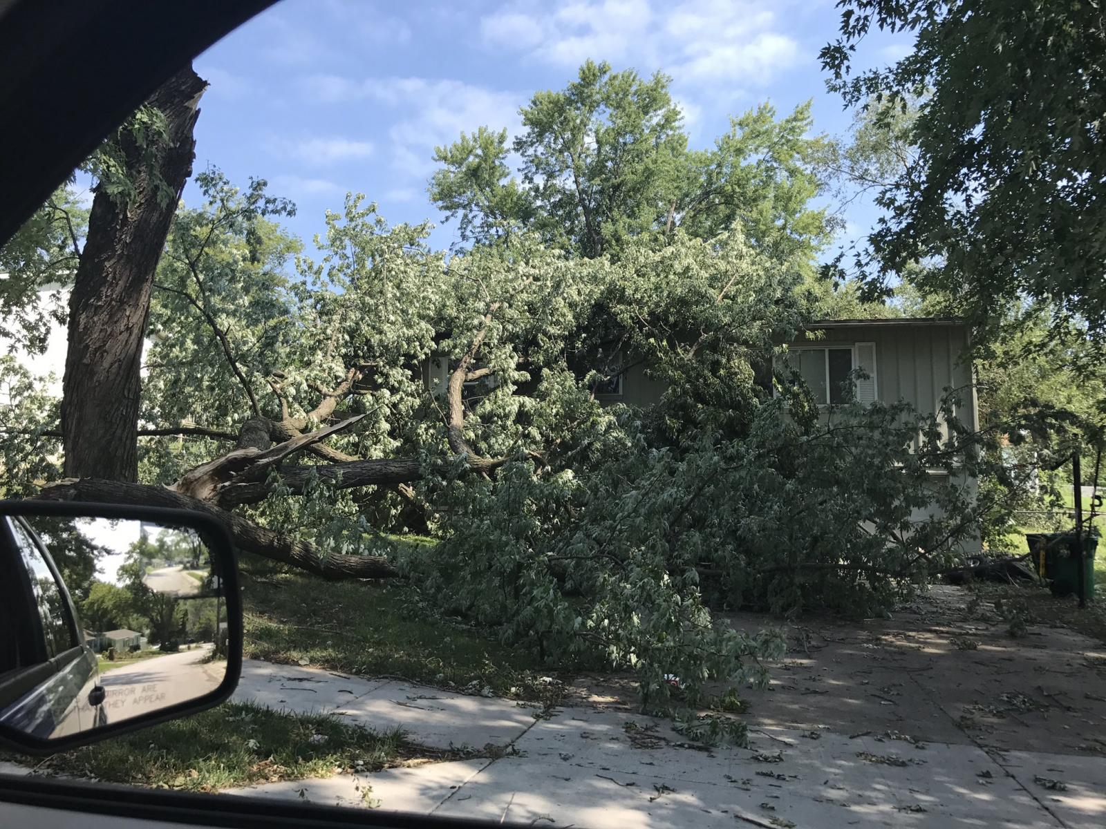
This was a familiar scene around the Kansas City Metro area with many large trees blown down causing damage to houses and property, blocking intersections, and taking down power lines. Storms caused over 100,000 people to be without power in the wake of Saturday night's storms.


 Weather Story
 Weather Map
 Local Radar
 Follow us on YouTube