
Isolated strong to severe thunderstorms capable of producing large hail and damaging wind gusts will be possible this evening across west-central Texas. Elevated to Critical fire weather conditions will persist across the southern Rockies and portions of the southern Plains through this weekend. Read More >
Click to enlarge 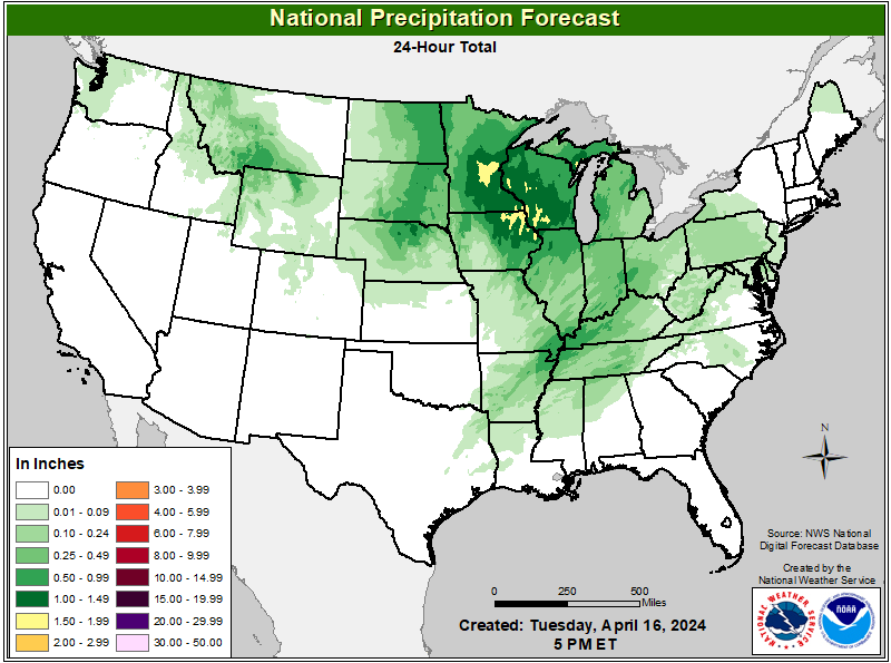 24-Hour Total QPF |
Click to enlarge 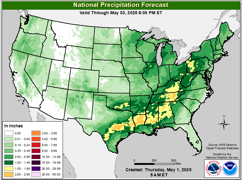 Total QPF |
Click to enlarge 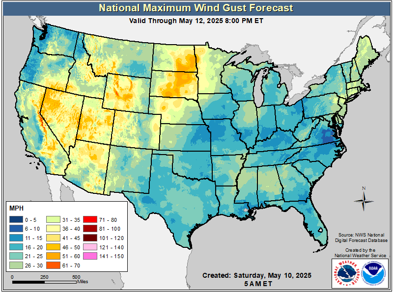 Maximum Wind Gust |
Click to enlarge 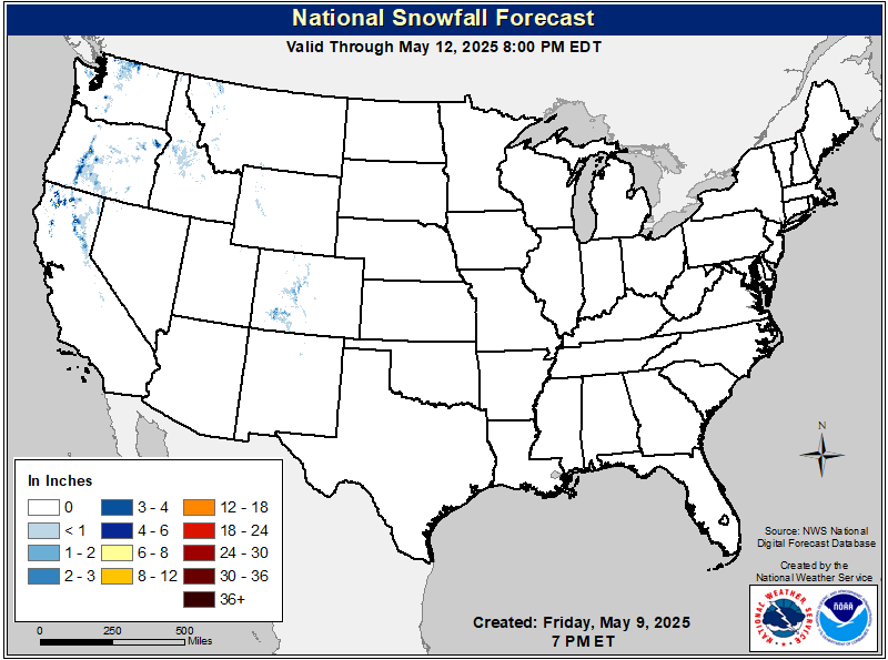 Total Snow Accumulation |
Click to enlarge 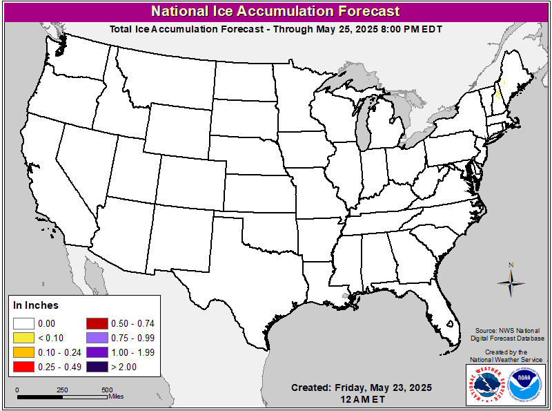 Total Ice Accumulation |
Click to enlarge 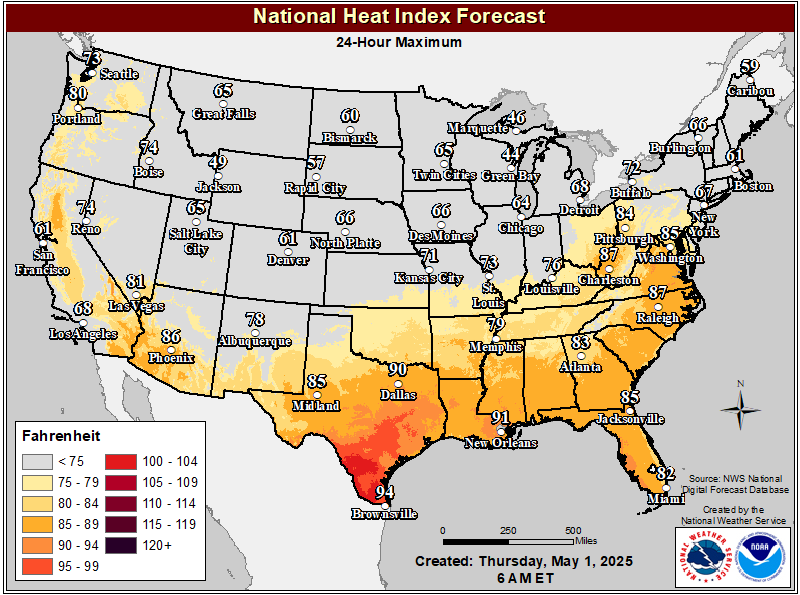 24-Hour Maximum Apparent Temperature |
Click to enlarge 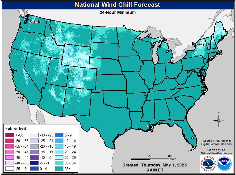 24-Hour Minimum Apparent Temperature |
Click to enlarge 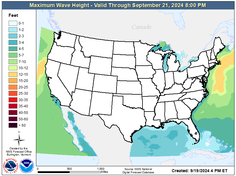 3-day Maximum Wave Height |
Click to enlarge 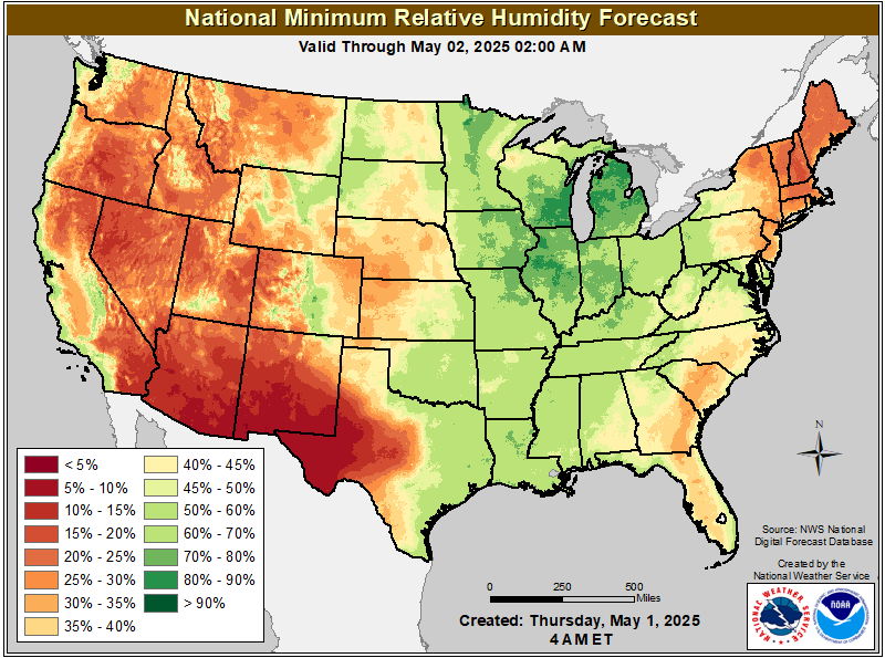 Min RH Day 1 |
Click to enlarge 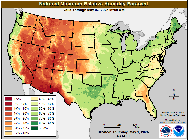 Min RH Day 2 |
Click to enlarge 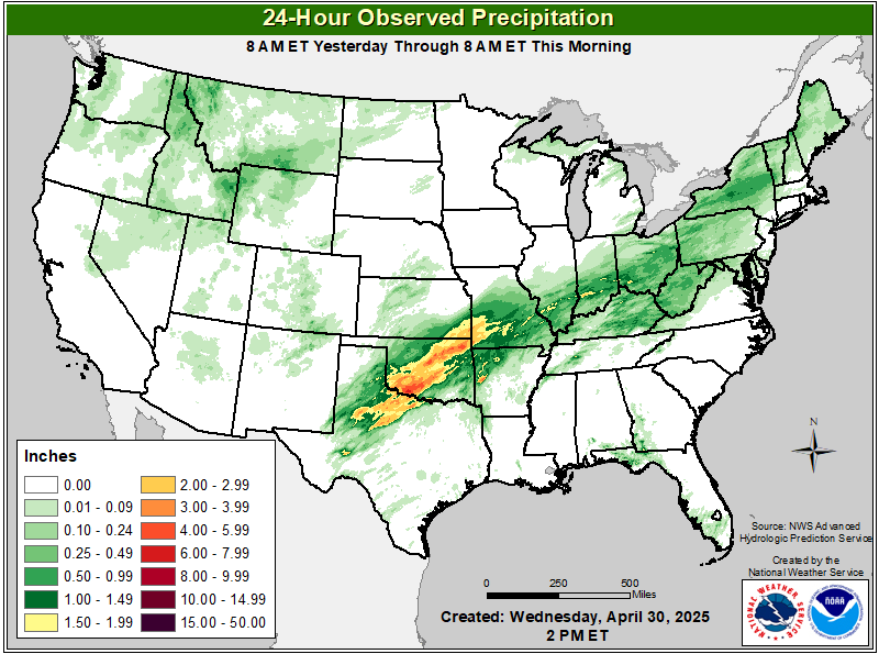 24-Hour Observed Precip |
Click to enlarge 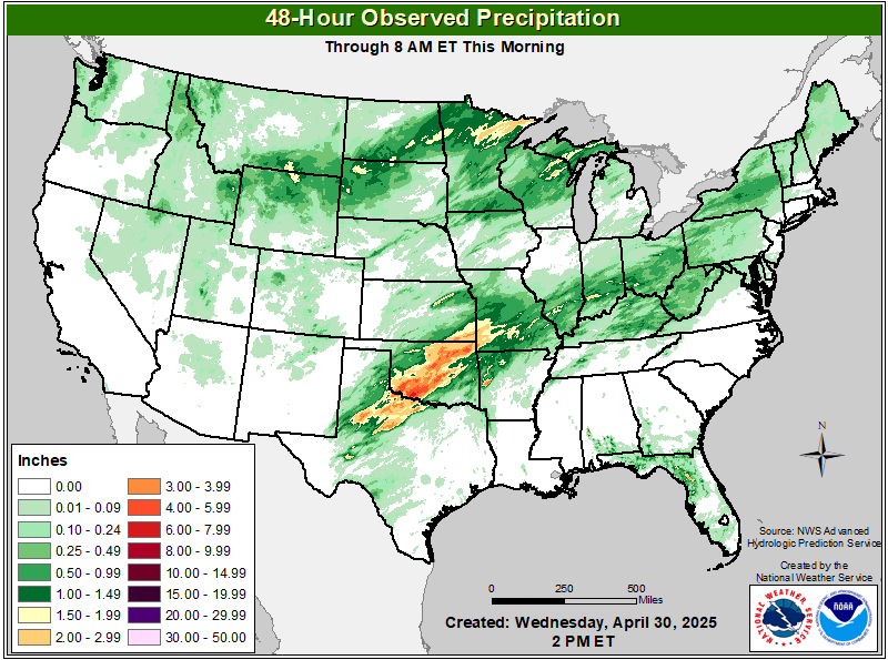 48-Hour Observed Precip |
Click to enlarge 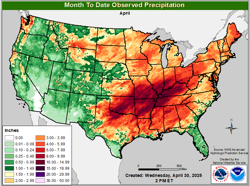 Month To Date Precip |
Click to enlarge 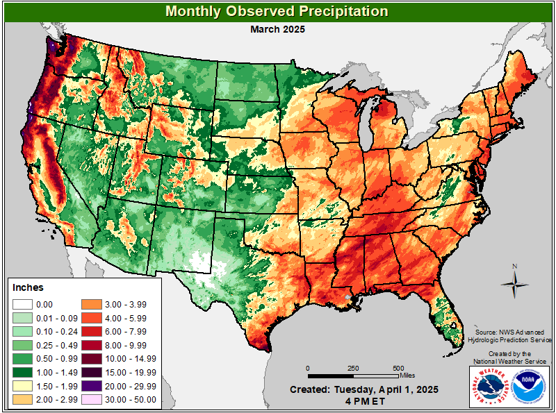 Total Monthly Observed Precip |
Click to enlarge 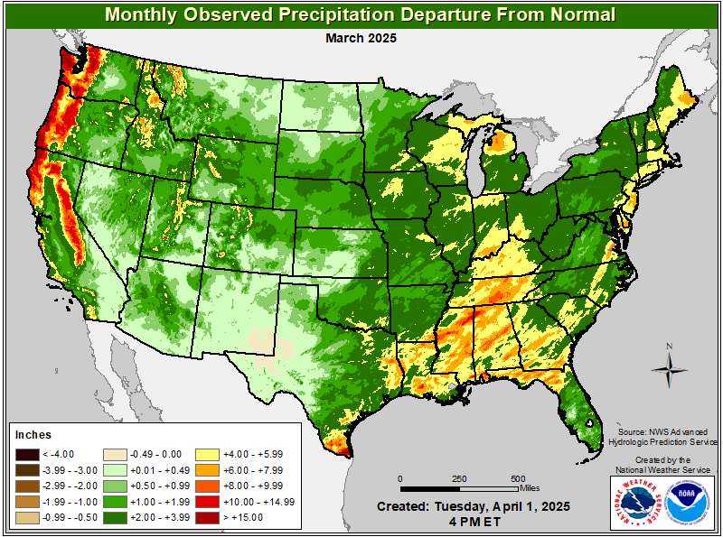 Total Monthly Observed Precip Departure |
Click to enlarge 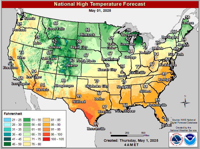 Maximum Temperature Day 1 |
Click to enlarge  Maximum Temperature Day 2 |
Click to enlarge  Maximum Temperature Day 3 |
Click to enlarge 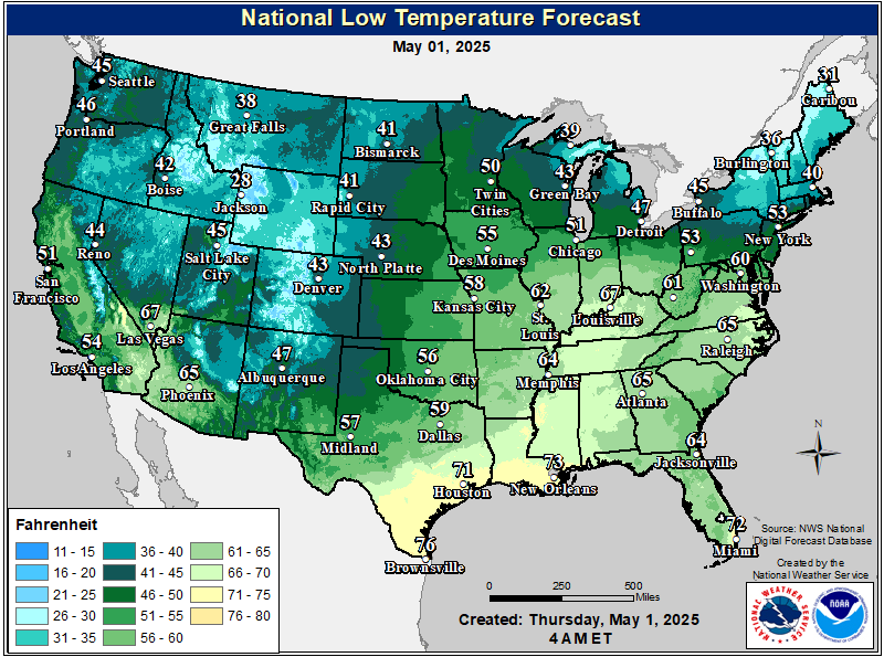 Minimum Temperature Day 1 |
Click to enlarge 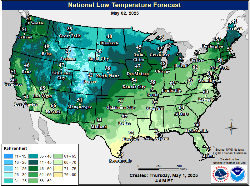 Minimum Temperature Day 2 |
Click to enlarge 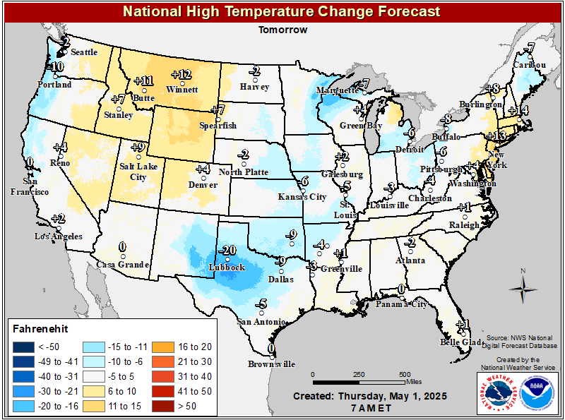 MaxT Temperature Change |
Click to enlarge 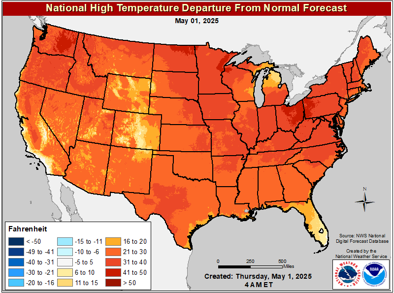 MaxT Day 1 Departure From Normal |
Click to enlarge 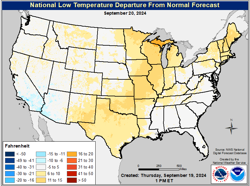 MinT Day 1 Departure From Normal |
Click to enlarge  Convective Outlook Day 1 |
Click to enlarge  Convective Outlook Day 2 |
Click to enlarge 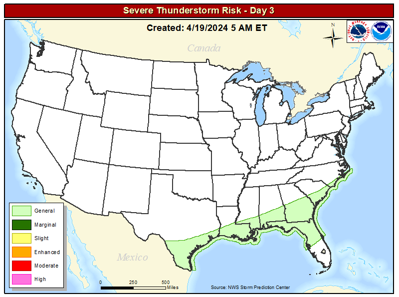 Convective Outlook Day 3 |
Click to enlarge  Radar |
Click to enlarge 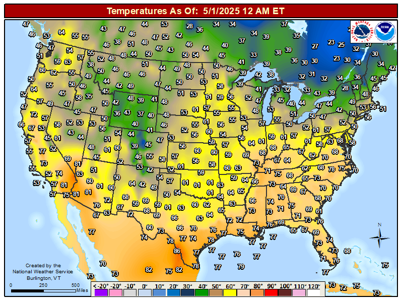 CONUS Current Temperatures |
Click to enlarge  CONUS Current Dewpoints |
Click to enlarge 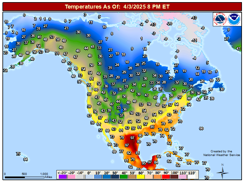 North America Current Temperatures |
Click to enlarge 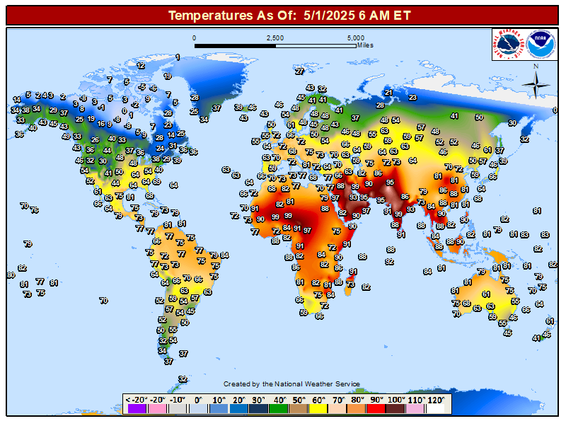 World Current Temperatures |
Click to enlarge 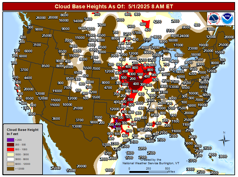 Cloud Base |
Click to enlarge 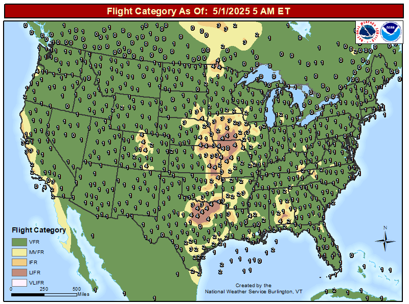 Flight Category |
Click to enlarge  Altimeter |
| Observed Highs and Lows | ||
 00z 12 Hour Max |
 00z 12 Hour Min |
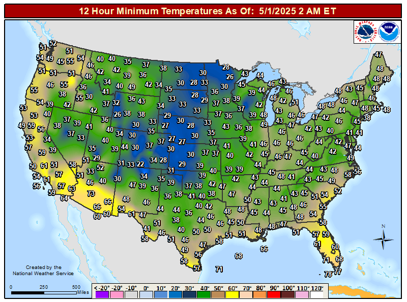 06z 12 Hour Max |
 06z 12 Hour Min |
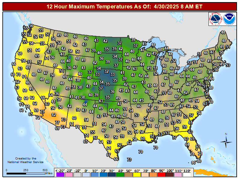 12z 12 Hour Max |
 12z 12 Hour Min |
 18z 12 Hour Max |
 18z 12 Hour Min |
 12z 12 Hour Min East |
 00z 12 Hour Max East |