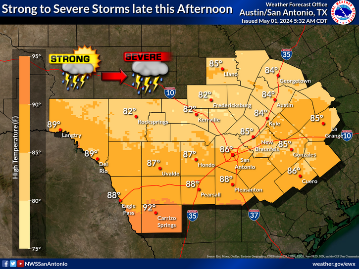
It will remain warm today with additional chances for isolated thunderstorms across northern and western portions of the area in the late afternoon and evening. These storms could be strong to severe with large to very large hail, lightning, and damaging wind gusts as the main hazards.
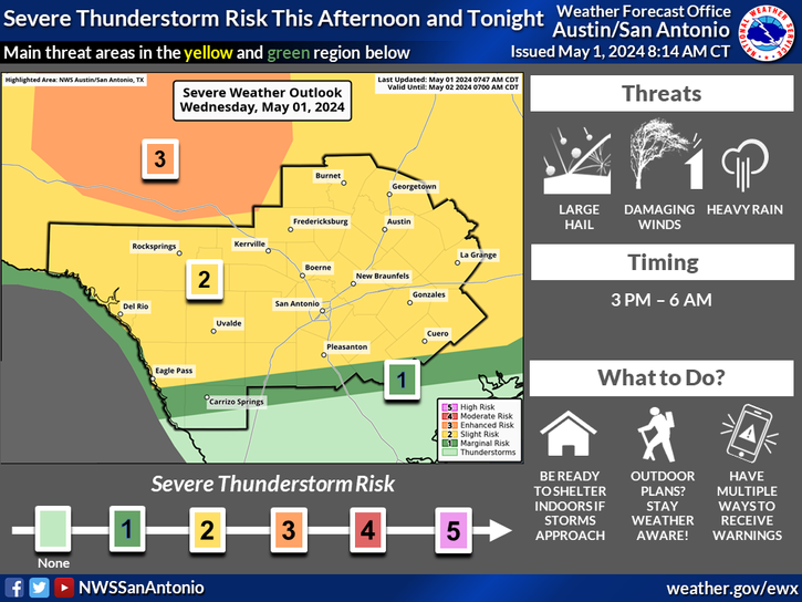
Isolated severe storms will be possible late this afternoon through the evening. Large to very large hail will be the main threat, with damaging wind gusts a secondary threat. Have a way to receive warning information and stay weather aware.
Isolated severe storms will be possible late this afternoon through the evening. Large to very large hail will be the main threat, with damaging wind gusts a secondary threat. Not all areas highlighted will see storms, but this would be the most likely timing if they were to occur.
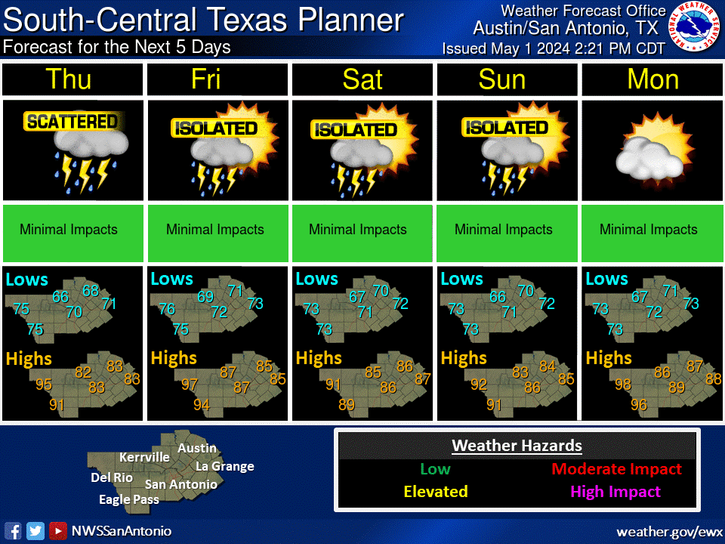
Additional isolated to scattered storms are possible Friday afternoon across northern and western areas. Chances for showers and storms will then increase Saturday and Saturday night with a cold front. Much cooler conditions are forecast behind the cold front on Sunday before we begin to warm back up early next week.


 Austin/San Antonio Radar
 Weather Map
 Satellite Imagery
 Del Rio Radar
 Digital Forecast Map
 Tropical Outlook
 Drought Status
 Air Quality
 Fire Weather Forecasts
 Observed Rainfall
 Observed Temperatures
 Daily Climate Graphs
 Follow us on YouTube