National Weather Service United States Department of Commerce

If you have any photos you would like to share, please feel free to post them to our  Facebook or Twitter pages, or send them to our webmaster e-mail account at: w-gid.webmaster@noaa.gov. Please let us know where the photo was taken, and at least an approximate time. Thanks!


April 1, 2015 

First Severe Storms of 2015 Bring Large Hail and Damaging Winds
to Parts of the Area


To the right is a National Weather Service radar loop from the late afternoon and evening hours of Wednesday, April 1.

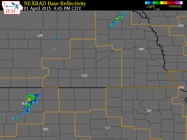
The NWS Hastings coverage area is located within the orange outlined area labeled "GID".

(Click Radar Loop To Enlarge)


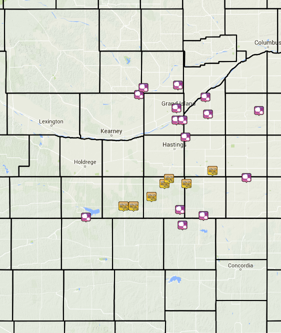
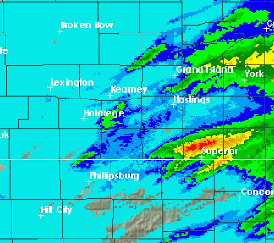
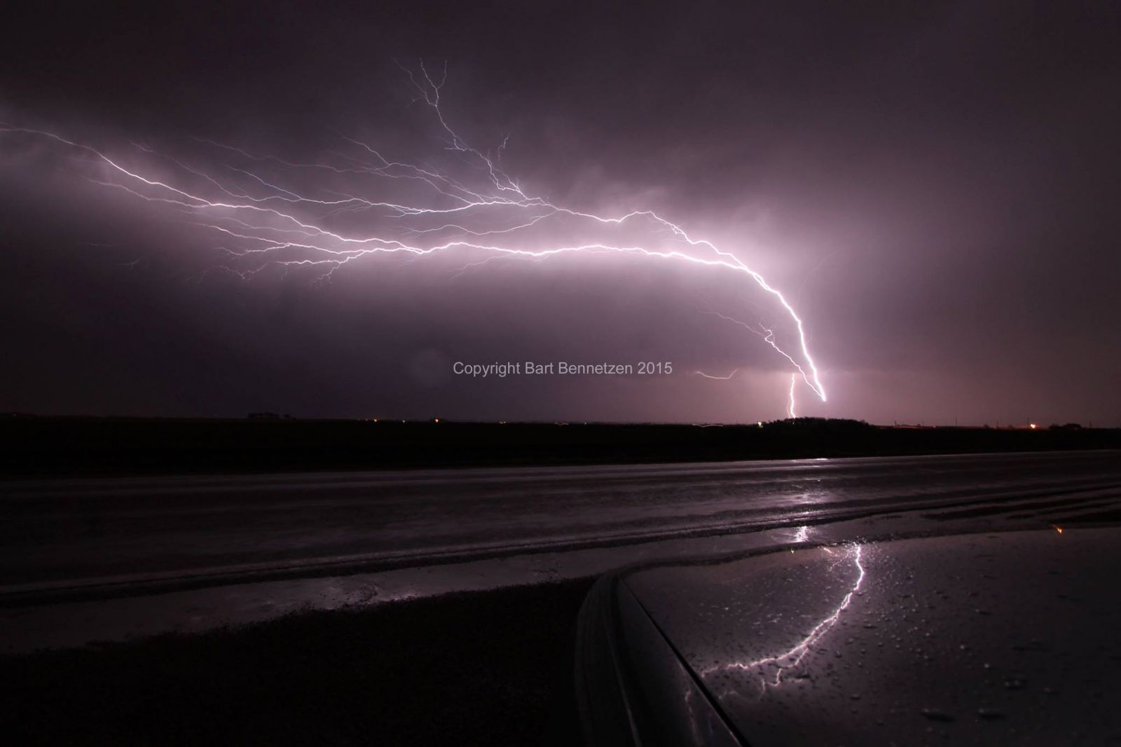
Event Summary:

The season's first round of severe weather brought large hail and strong thunderstorm wind gusts to parts of the NWS Hastings coverage area on the evening of Wednesday, April 1, 2015. Thunderstorms initiated along a cold front which was moving east across the area and once storms developed, they wasted little time producing severe weather despite only marginal levels of low-level moisture and instability. Hail was the primary severe weather threat with this event, with multiple reports of stones up to 1" in diameter and a few to 1.25" received between 6-11 PM. That said, there were also limited areas of severe wind gusts within the area generally as high as 60-70 MPH, primarily consisting of a swath that tracked out of the Harlan/Franklin counties area and into the Webster/Clay counties area. A home weather station approximately 9 miles northwest of Red Cloud even reported a peak gust of 73 MPH. 

As is typical with many thunderstorm events, rainfall amounts were highly variable across the local area, ranging from almost nothing in several far northern, western and southern local counties, to small pockets of totals in excess of 1", especially within Nuckolls, Thayer, southern Polk and northern York counties. The highest-known measured amount within the area was 1.77" that fell 1.5 miles north of Nora in Nuckolls County (NeRAIN observer). 


Storm Reports/Radar-Estimated Rainfall Image:
 
 
The map above shows storm reports from the across the area on the evening of April 1.  You can also click on the map for a complete listing of all storm reports. This image depicts radar-estimated rainfall across the local area. In general, dark green areas received at least 0.25", yellow areas received at least 0.75" and the red corridor over Nuckolls County received 1-2". 


Here is a brief list of some of the most significant storm reports from this event:

  • 73 MPH wind gust measured by a home weather station approximately 9 miles NW of Red Cloud
     
  • 1.25" diameter hail reported 5 miles N of Burr Oak, KS and in Waco, NE 
     
  • 1" diameter hail reported in several locations, including: 1NW Boelus, 7E Ravenna, 6S Alma, 5NE Doniphan (on I-80), in Trumbull and 3N Deshler


A few photos from this event:


Impressive lightning strike on radio tower near Grand Island (courtesy Bart Bennetzen of Central Nebraska Stormchasers) Large gustnado (not a "true" tornado) 5 miles east of Alma (courtesy of Ben McMillan and StormChasingVideo.com)


This page was composed by the staff at the National Weather Service in Hastings, Nebraska.