The following flood photos were taken across parts of Buffalo County and Hall County north and southeast of Kearney...along the Wood River east of Gibbon and north of Wood River...and south of the Gibbon and Shelton areas along the old north channel of the Platte River just north of Interstate 80. The photos were taken June 25th following the heavy rain the night of June 23rd that deluged areas from Buffalo into southern Hall and northern Adams counties. NERain rainfall reports showed 5.26 inches of rain 0.2 miles west of Gibbon...4.44 inches of rain reported 6.1 miles north of Kenesaw and 3.25 inches 0.5 miles south of Shelton. Extensive lowland flooding of fields...pastures and county roads was noted.
|
|
|
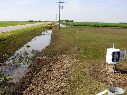
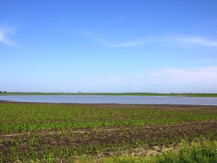
Lowland field flooding north of Kearney - 78th & Cherry. |
 |
| Field debris from flooding 1 mile south of Gibbon...note silt from flooding in grassy area near cornfield in upper right. |
 |
|
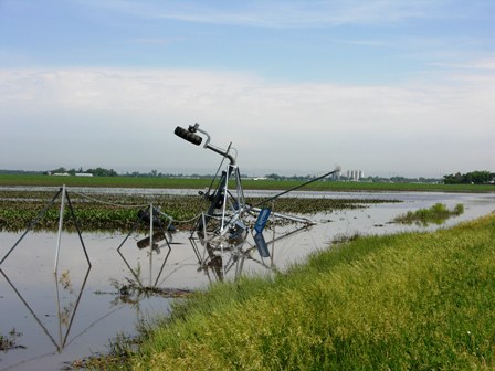
Overturned pivot from previous storms now surrounded by water. |
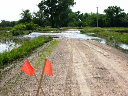 |
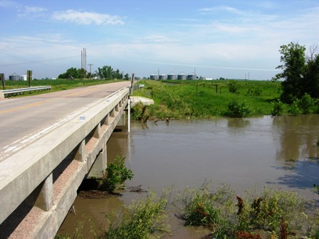
| Road closed due to flooding in old north channel of the Platte River 2 miles south of Gibbon just north of Interstate 80. |
|
|
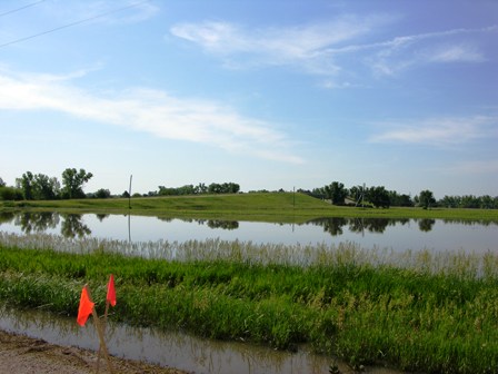 |
| Pasture flooding just north of Interstate 80 east of Gibbon Interchange in old north channel of the Platte River. |
|
|
|
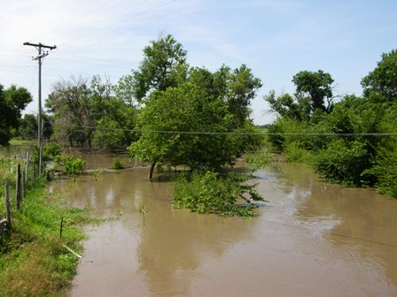
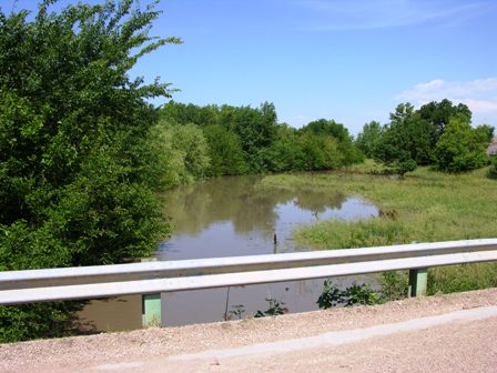
Wood River 3 miles east of Gibbon on Sodtown Road. |
|
|
| Looking west at overflow on north side of the Wood River 3 miles east of Gibbon. |
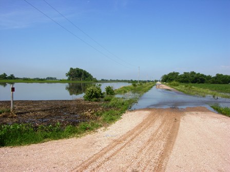 |
| Flooded road and fields in old north channel of the Platte River southeast of Gibbon. |
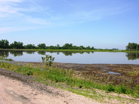 |
| Pasture flooding in old north channel of the Platte River southwest of Shelton. |
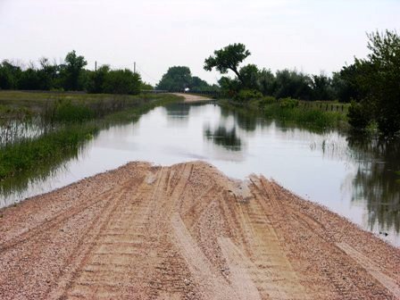 |
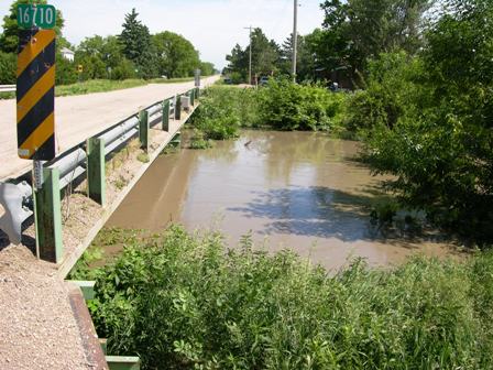
| Flooded road southwest of Shelton in old north channel of the Platte River. |
|
|
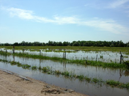
| Extensive pasture flooding southwest of Shelton in the old north channel. |
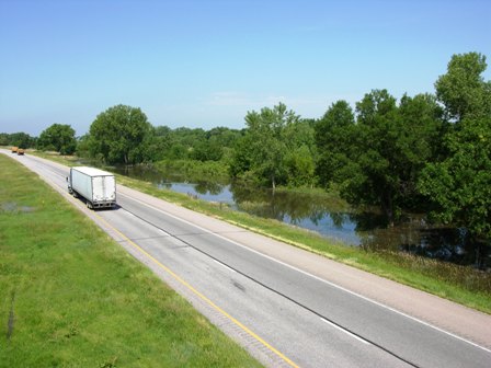 |
| Flood waters creeping up on Interstate 80 west of the Shelton I-80 Interchange. |
 |
| Wood River 1 mile north northwest of Wood River...on the rise. |
 |
| Flooding on Wood River 1 mile north northwest of Wood River...looking west from bridge. |


 Follow us on YouTube