Overview
A low pressure system over northern Missouri is expected to move into the Great Lakes region later tonight and Tuesday. Freezing rain will continue over much of central and northeast Wisconsin tonight, especially south of highway 29. The freezing rain may mix with sleet and and light snow at times. The precipitation will reach far northern Wisconsin later on tonight. At this time, the greatest ice accumulation should be across central Wisconsin, where up to a half inch of icing is expected. Travel conditions will be very hazardous, especially on untreated roads and pavements. Be sure to check back for updates and monitor the latest forecast.
Click on the tabs below for the latest information about this approaching system and ways to prepare.
Snowfall Forecast Graphics
Here is the latest Snowfall/Ice accumulation forecast.
Click on any image to enlarge.
|
Most Likely Snowfall Forecast |
Latest Ice Accumulation Forecast |
|
More Forecast Graphics
Click on any image to enlarge.
|
Current Weather Story |
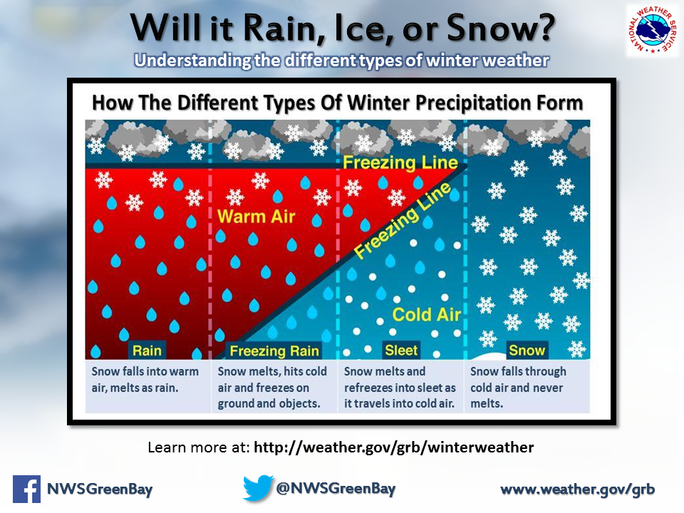
How the Freezing Level Affects Forecasting Precipitation Types |
Current Watches, Warnings, and Advisories |
Radar
Track the system on the latest radar loops.
Click on any image to enlarge.
 |
 |
 |
Weather Safety & Additional Information
Click on any image to enlarge.

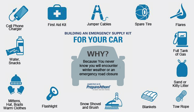
Here are additional links to help monitor the winter weather:
NWS Green Bay Social Media: Twitter or Facebook
 |
Media use of NWS Web News Stories is encouraged! Please acknowledge the NWS as the source of any news information accessed from this site. |
|


 Follow us on YouTube