Introduction
Humberto was the first hurricane to make landfall in the United States since Wilma struck South Florida in October 2005 and the first hurricane to make landfall along the Texas coast since Rita struck the Texas-Louisiana area in September 2005. The intensification rate in Humberto was one of the highest that has ever been observed for an initially weak tropical cyclone. It is estimated that the cyclone strengthened from a 30 mph low into an 90 mph hurricane within 24 hours. This rapid increase in intensity is rare, and only three others storms (Celia/1970, Arlene and Flora/1963) have intensified more in 24 hours from below tropical storm strength. Humberto had a peak wind of 90 mph and a minimun central pressure of 985 mb when it made landfall around 2:00 AM CDT just east of High Island, TX.
Synopsis
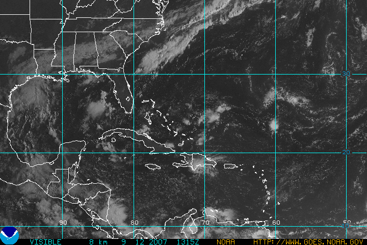
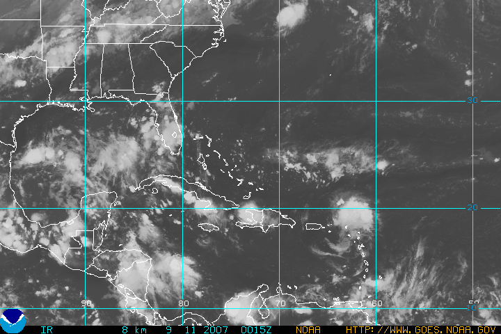
For several days before the formation of Humberto, there were disorganized showers and thunderstorms that extended from western Cuba into the eastern Gulf of Mexico associated with an upper level low and a weak surface trough. Unfavorable wind shear initially prevented development of this system as it tracked slowly to the west-northwest. The shear began to relax on Tuesday the 11th, and early in the morning on Wednesday the 12th convection began to increase over a developing surface low pressure area. As the developing system began a northwest drift, quick organization was noted on radar imagery and buoy data. The disturbance was estimated to have become a depression at 4:00 AM CDT with the center located 120 miles south of Galveston. A ship report and radar data suggest that the depression quickly became a Tropical Storm Humberto around 7:00 AM, and it moved slowly to the north. 
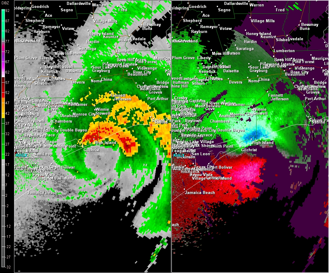
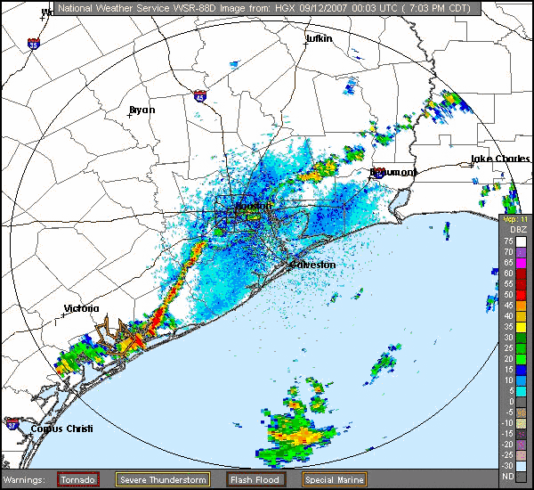
Intense thunderstorm activity in well-defined spiral bands continued near the tropical storm, and the small tropical cyclone continued to rapidly strengthen just offshore of the upper Texas coast. Later in the day, Humberto turned to the north-northeast due to steering around a large middle-level high over the southeastern United States. Radar data indicate that Humberto became a hurricane about 20 miles south of High Island, Texas around 10:00 PM, and the cyclone reached an estimated peak intensity of 90 mph as it made landfall just east of High Island in McFaddin National Wildlife Refuge around 2:00 AM on Thursday the 13th. The hurricane moved over extreme southeastern Texas across the Beaumont/Port Arthur area, and entered southwestern Louisiana, weakening into a tropical storm about 75 miles west-northwest of Lafayette. The storm became a depression near Alexandria late on the 13th, and dissipated the next day over central Mississippi.
Damage from Humberto was confined to the far eastern portions of Southeast Texas from just east of Canal City to about 6 miles north of High Island, including the community of High Island. The damage was indicative of 70 to 80 mph winds (strong tropical storm force to Category 1 hurricane force winds). Gusts near 90 mph (Category 1 hurricane force winds) may have occurred in High Island given extensive damage to power poles, roof damage to a hotel, snapped tree trucks and the awning collapse of a gas station. Preliminary damage estimates in Galveston County indicated that 5 single family homes were completely destroyed, 22 received major damage, and 49 received minor damage. 5,000 homes were isolated due to road closures. Total damage costs around the Bolivar Peninsula and High Island have been estimated at around $30 million. Maximum rainfall totals from Humberto ranged from around 2.00 to over 14 inches mainly along and east of a line from Freeport to the Hitchcock-Texas City area to around Winnie. Some of the highest amounts recorded in WFO HGX's area were 14.13 inches at East Bay Bayou (just west of Highway 124 in southeast Chambers County), 9.84 inches at the Gulf Intercoastal Waterway and the State Highway 124 bridge (approximately 3 miles north of High Island), 8.11 inches at Spindletop Bayou and the State Highway 124 bridge (approximately 3 miles south of Stowall), 8.31 inches in Gillchrist (Rollover Pass), 6.50 inches at the Galveston Island Coast Guard Station and 5.80 inches at Jamaica Beach.
All data on our Humberto page is considered preliminary, and is subject to change at any time. Data continues to be gathered, and additional information including pictures, rainfall, and radar data will be added to this page in the coming days and weeks.
Products, Pictures and Other Links


 Follow us on YouTube