 |
||||||||||||||||
|
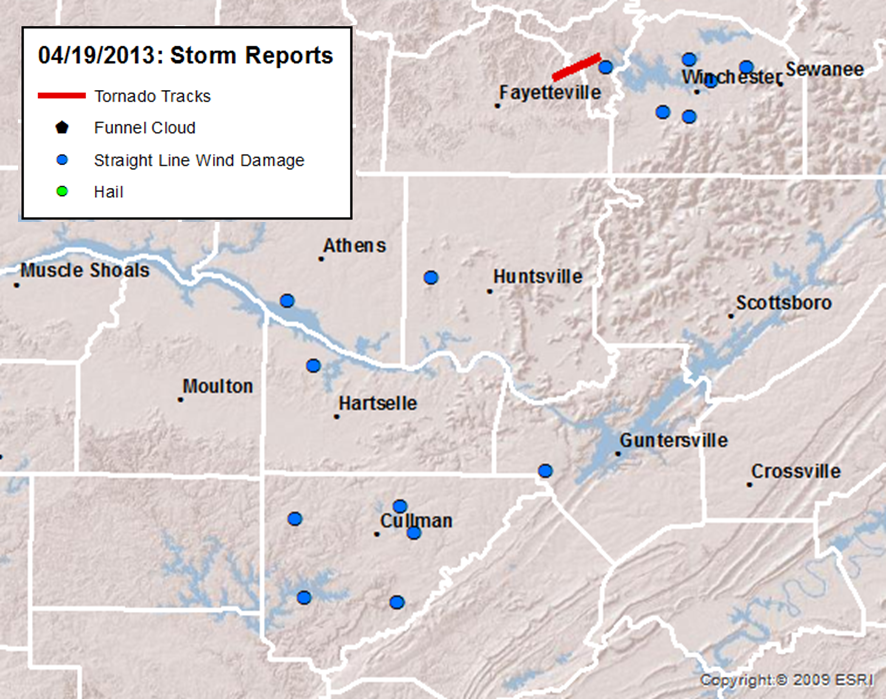
Additional Information About Storm Reports Received Can Be Viewed Here. |
||||||||||||||||
|
Tornado Surveys Completed |
||||||||||||||||
|
||||||||||||||||
|
|
||||||||||||||||
|
||||||||||||||||
|
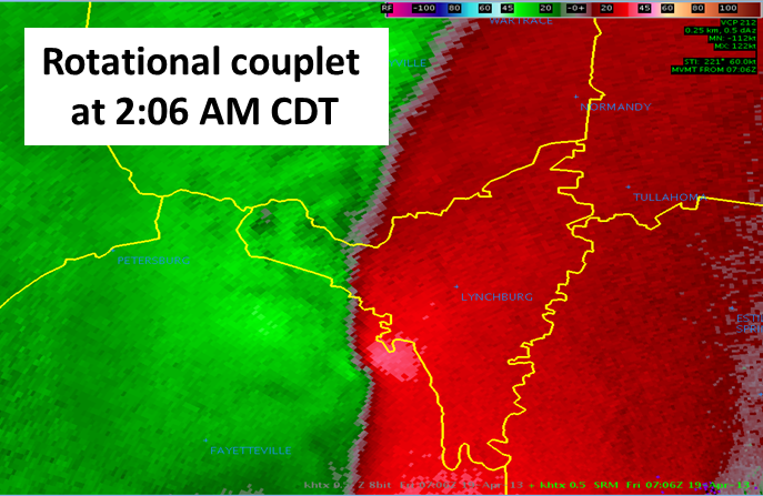
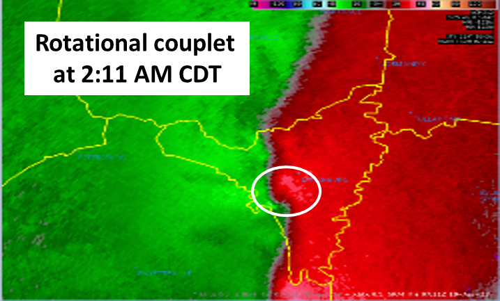
White circle in images above indicates approximate location of the tornado.
|
||||||||||||||||
 |
||||||||||||||||
|
|
||||||||||||||||
|
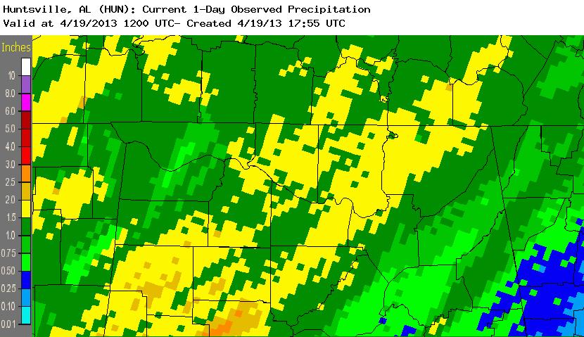
One to two inches of rainfall also fell as the strong to severe storms rolled from west to east across northern Alabama and Southern Middle Tennessee. Below is an image of rainfall totals from 7 am on Thursday (April 18th) through 7 am Friday (April 19th). Most of the heavier rainfall fell in a short 2 to 4 hour period. |
||||||||||||||||
 |
||||||||||||||||
|
|


 Local Radar
 Weather Map
 Follow us on YouTube