|
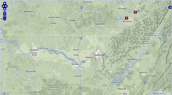
On June 9th, a disturbance pushing into northwestern Alabama during the late evening hours produced a line of strong to severe thunderstorms. This line storms weakened during the overnight hours as it crossed into northeastern Alabama. One severe storm produced a tornado which touched down briefly in Franklin County Tennessee in two locations. One tornado affected the Estill Springs area and a second from the same circulation affected northeastern Franklin County in the Prairie Plains Road and northeast of Oak Grove Road.
|
||||||||||||||||||||||||
|
Tornado Damage Survey Completed NWS Huntsville Meteorologists surveyed damage in the area of Franklin County, TN on June 10 which occurred on June 9th between 609 PM CDT and 633 PM CDT. It was determined that two shorter track tornadoes touched down in this county. Below is a summary of the information about these tornadoes.
|
||||||||||||||||||||||||
|
Click on an entry in the 1st column in the table below to see the official storm survey summary) |
||||||||||||||||||||||||
|
||||||||||||||||||||||||
  |
||||||||||||||||||||||||
 |
||||||||||||||||||||||||
|
Heavy Rainfall Fell as Well One to three inches of rainfall fell across portions of eastern Lauderdale County northeast into Lincoln and Franklin counties. Jackson county also received widespread rainfall amounts between 1 and 3 inches. Below is an image of rainfall amounts beginning on 06/09/2013 at 7 AM and ending at 06/10/2013 at 7 AM. 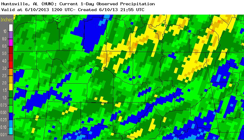
|


 Local Radar
 Weather Map
 Follow us on YouTube