|
.jpg)
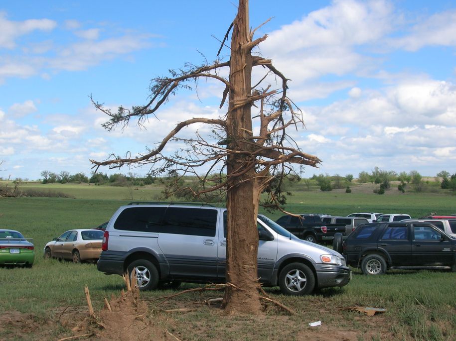
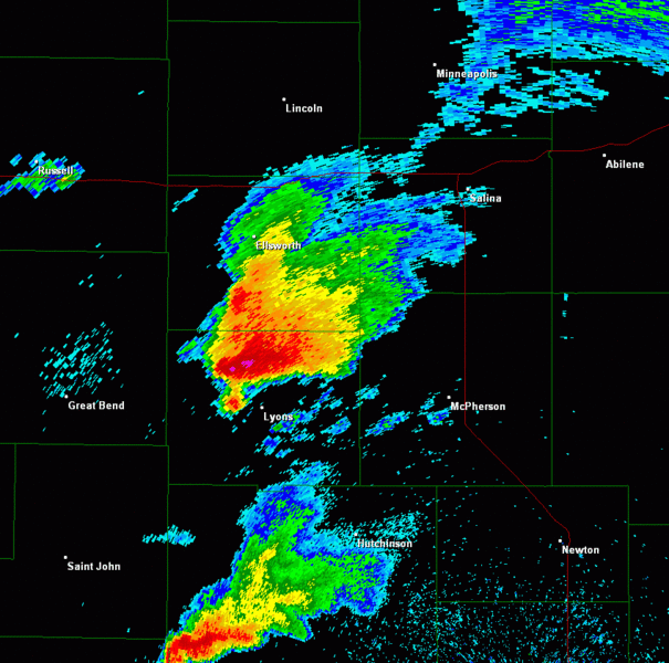
EF1 damage about 2.5 miles northeast of New Cambria
|

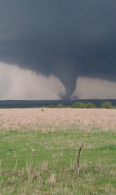
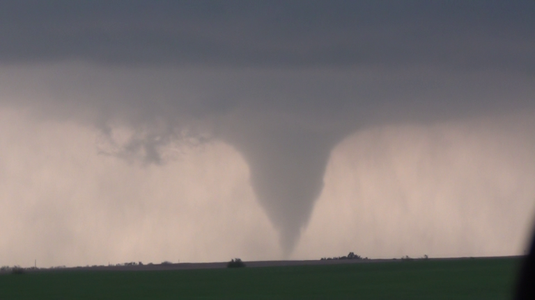
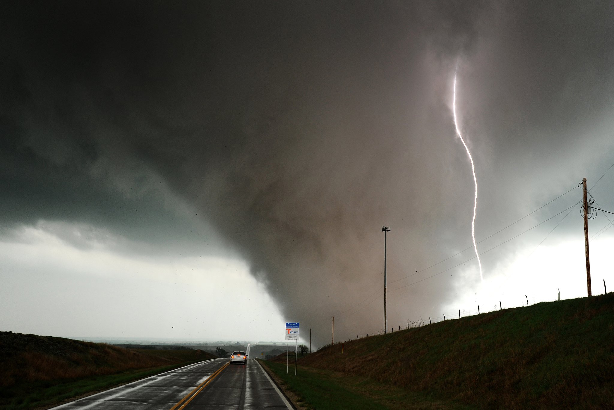
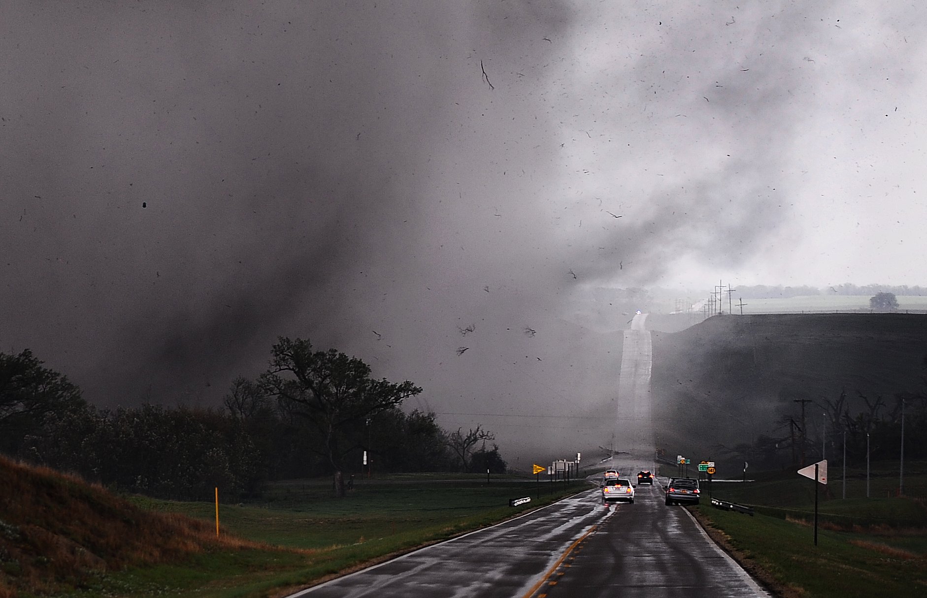
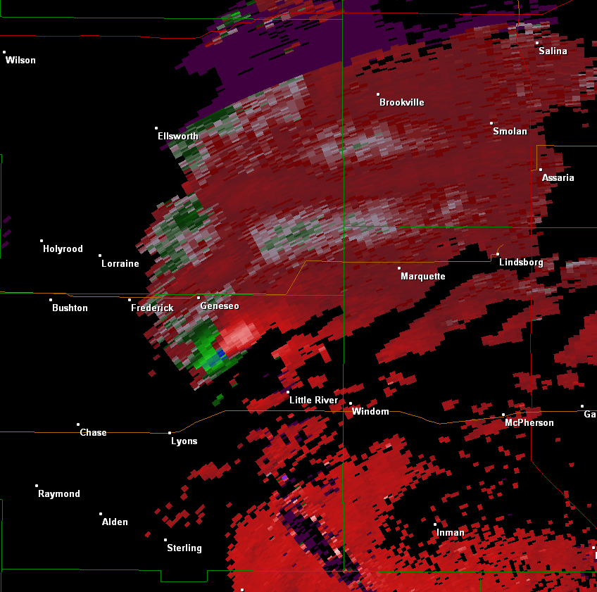
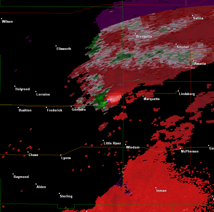
Preliminary EF4 damage just SW of K4 &141, south of Kanopolis Lake
|

Preliminary EF4 damage just SW of K4 &141, south of Kanopolis Lake
|

Preliminary EF4 damage just SW of K4 &141, south of Kanopolis Lake
|
|

Preliminary EF4 damage just SW of K4 &141, south of Kanopolis Lake
|
Preliminary EF4 damage just SW of K4 &141, south of Kanopolis Lake
|

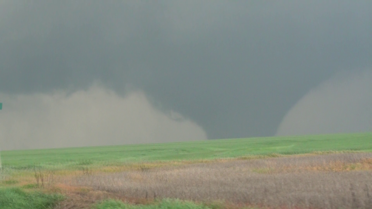
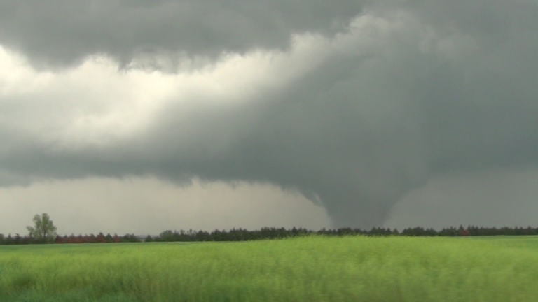
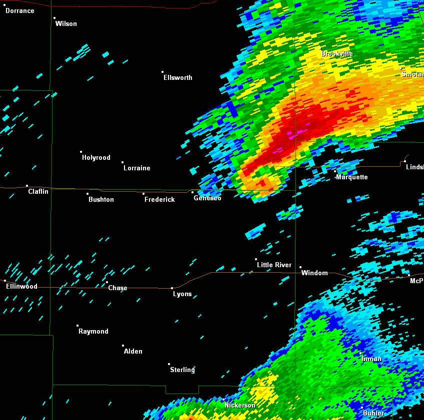
EF1 damage around 2 miles east of Raymond in Rice County. This is the tornado that took place after 9:30 pm.
|

EF1 damage around 2 miles east of Raymond in Rice County. This is the tornado that took place after 9:30 pm.
|


 Follow us on YouTube