Tornadoes 5 and 6:
Southern Logan County
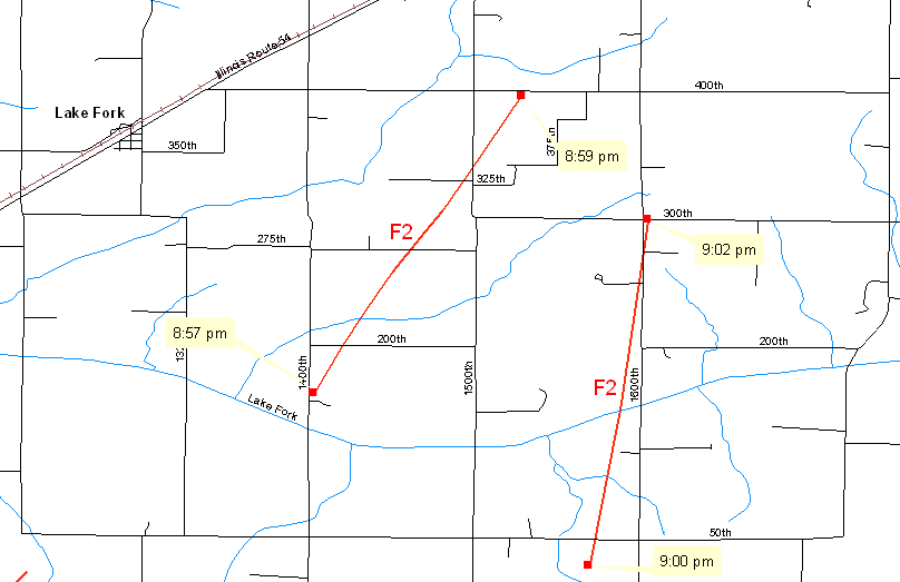
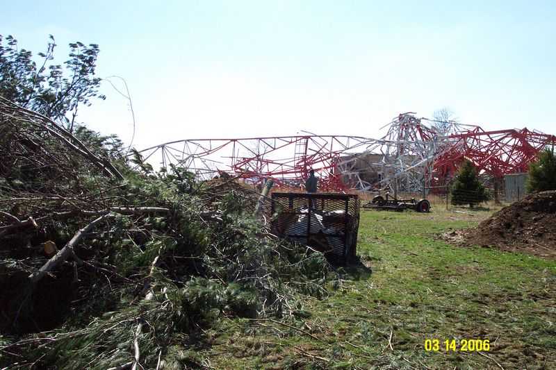
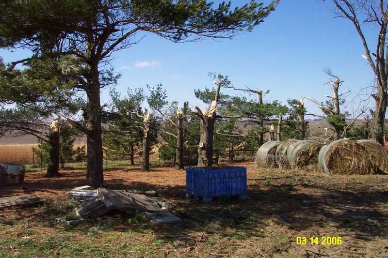
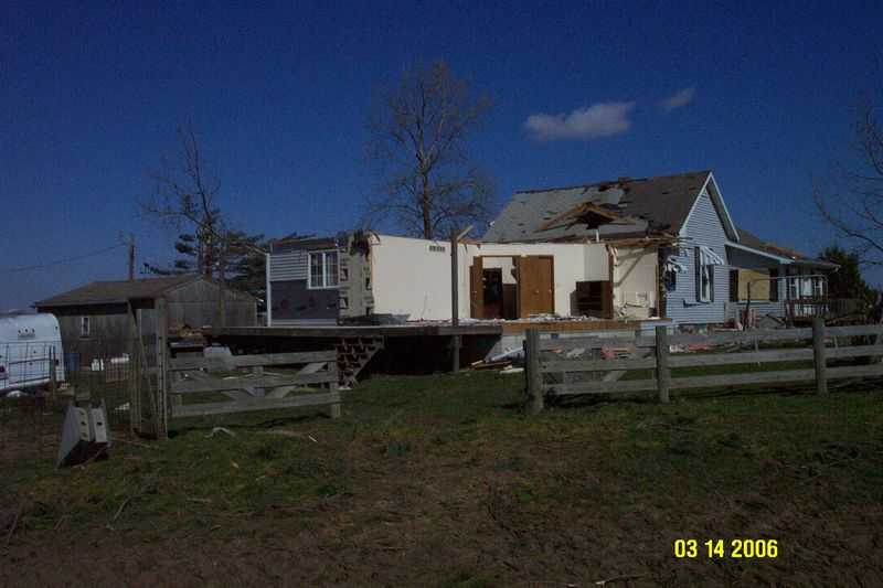
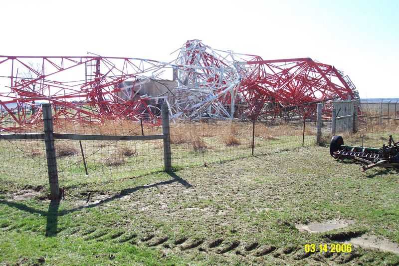
The next tornado in the outbreak was along the trajectory of the eastern Sangamon County tornado, but there was a break in the path. The new tornado touched down 2 miles southeast of Lake Fork at 8:57 PM, and was on the ground for 2.5 miles before lifting 2.5 miles southwest of Mt. Pulaski at 8:59 PM. The damage path was wider (1/2 mile) and of F2 intensity (120 mph). Damage from this tornado was similar to rural damage seen in Sangamon County, with numerous power poles snapped. In addition, a 400 foot microwave tower was toppled.
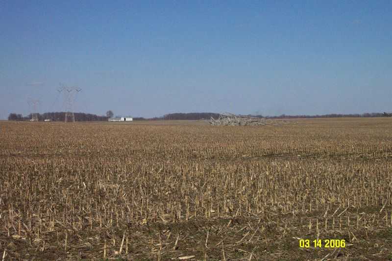
Another tornado was found in Logan County, east of the previous storm. The tornado tracked from the Logan/Sangamon County line, 6.25 miles south of Mt. Pulaski, to 3 miles south of Mt. Pulaski. The tornado was on the ground from 9:00 to 9:02 PM. This was rated at F2 intensity, with wind speeds around 120 mph, with a width of 200 yards. Path length was 3.5 miles. Damage from this tornado was similar to rural damage seen with earlier storms, including numerous power poles snapped. In addition, 3 or 4 large steel power poles were toppled.
Pictures (click images to enlarge):
|
|
|
|
|
|
|
|
Event Links: Overview | Long-Track Tornado | Springfield | Franklin/Loami | Eastern Sangamon
Southern Logan | Greene/Scott #2 | Logan/Macon | Macon/De Witt | Radar&Satellite


 Follow us on YouTube