Valentines Day Blizzard of 2015
Sat-Sun February 14-15, 2015
Overview
An Arctic cold front brought strong winds, snow, and cold air into the Great Lakes region for Valentines Day weekend 2015. Much of the area experienced blizzard or near blizzard conditions Saturday and Saturday night from the combination of moderate to heavy snow and strong winds. Despite snow totals ranging from as little as 0.5" to 5 inches, extensive blowing and drifting of the snow caused rapidly changing visibilities and white out conditions. This led to several multi-car pileups on the Indiana Toll Road and other major roadways, and countless smaller accidents. On Sunday morning, the area saw low temperatures ranging from the single digits below zero to the single digits above zero. Wind chill values ranged from -15 to -30 degrees.
Meteorological Setup
Weather Pattern
A surface low pressure system moved from northern Ontario on Friday afternoon to the New England States by late Saturday afternoon In it's wake, high pressure building over the Canadian Prairies expanded southward into the Great Lakes region. This brought an Arctic front through Indiana and the Ohio Valley Saturday morning (Figure 1: Surface weather map from 8 pm 2/13 to 8 am 2/15).
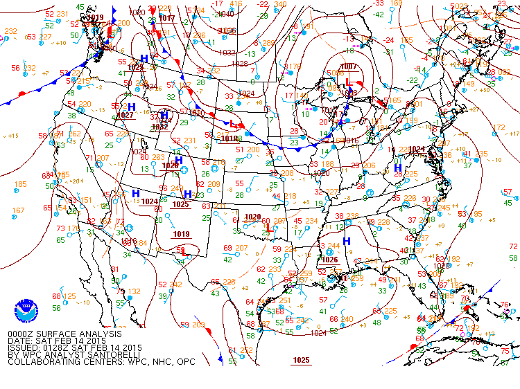
Figure 1. Surface analysis maps from the Weather Prediction Center.Time: From 8 pm 2/13-8 am 2/15 2015.
Strong Winds
The strong pressure gradient between the exiting low pressure system and high pressure building in led to sustained winds around 30 mph. Cold air aloft associated with the frontal boundary created ample instability, allowing the atmosphere to mix down wind gusts as high as 45-55 mph. Figure 2 shows the drop in temperature and increase in wind speeds as the front passed in the morning. Also note the pressure rise (from the incoming high) and the shift in wind direction from west to north.
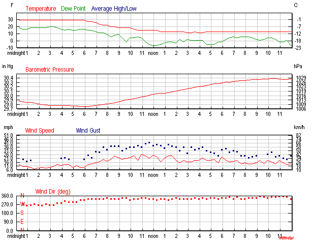
Figure 2. Weather history graphs from wunderground.com showing the rising pressure (from incoming high), increase in wind speeds, dropping temperatures, and wind shift at Michigan City, IN. Gusts of 55 mph were recorded at this station, though they are not captured here due to the hourly temporal scale. Time is from midnight on 2/13-midnight 2/14.
Maximum Wind Reports from 8 am EST 2/14/15 to 8 am EST 2/15/2015
...PEAK WIND GUSTS...
LOCATION                    SPEED       TIME/DATE           LAT/LON

...INDIANA...

...ALLEN COUNTY...
1 NNW MIDDLETOWN            34 MPH      1156 AM 02/14       40.96N/85.05W
1 NW WOODBURN               37 MPH      0413 PM 02/14       41.14N/84.86W
3 S WALLEN                  42 MPH      1130 AM 02/14       41.12N/85.16W
FORT WAYNE  INTL            47 MPH      0155 PM 02/14       40.98N/85.19W

...CASS COUNTY...
2 SE WALTON                 38 MPH      1217 PM 02/14       40.64N/86.23W
LOGANSPORT/CASS CNTY AP     40 MPH      1055 AM 02/14       40.71N/86.37W

...DE KALB COUNTY...
3 E SAINT JOHNS             43 MPH      1135 AM 02/14       41.31N/85.06W

...ELKHART COUNTY...
1 WNW JIMTOWN               30 MPH      1053 AM 02/14       41.64N/86.04W
3 NE OSCEOLA                43 MPH      0140 PM 02/14       41.71N/86.04W

...FULTON COUNTY...
FULTON COUNTY AIRPORT       40 MPH      1215 PM 02/14       41.07N/86.18W

...GRANT COUNTY...
3 NW UPLAND                 41 MPH      0203 PM 02/14       40.50N/85.55W
MUNICIPAL APT               44 MPH      1035 AM 02/14       40.48N/85.68W

...HUNTINGTON COUNTY...
4 NE MAJENICA               39 MPH      1223 PM 02/14       40.82N/85.41W
4 SSW HUNTINGTON            39 MPH      1118 AM 02/14       40.83N/85.53W

...KOSCIUSKO COUNTY...
2 SW WARSAW                 37 MPH      0206 PM 02/14       41.21N/85.87W
WARSAW MUNICIPAL AIR.       38 MPH      1155 AM 02/14       41.27N/85.84W
1 SSE JAMES LAKE            41 MPH      0327 PM 02/14       41.31N/85.72W

...LA PORTE COUNTY...
MICHIGAN CITY               56 MPH      1230 PM 02/14       41.73N/86.91W
2 E TRAIL CREEK             41 MPH      1235 PM 02/14       41.70N/86.82W
LA PORTE                    45 MPH      1055 AM 02/14       41.57N/86.73W

...MARSHALL COUNTY...
2 W MENTONE                 35 MPH      1248 PM 02/14       41.18N/86.08W
PLYMOUTH                    38 MPH      1154 AM 02/14       41.34N/86.31W
3 NW ARGOS                  39 MPH      1200 PM 02/14       41.27N/86.27W

...MIAMI COUNTY...
PERU                        45 MPH      0545 PM 02/14       40.75N/86.07W
3 W AMBOY                   44 MPH      1241 PM 02/14       40.59N/85.98W
1 SSW GRISSOM AFB           46 MPH      0117 PM 02/14       40.65N/86.15W

...NOBLE COUNTY...
3 NE AVILLA                 36 MPH      0959 AM 02/14       41.40N/85.20W
1 E BIG LAKE                42 MPH      0139 PM 02/14       41.28N/85.47W

...ST. JOSEPH COUNTY...
3 S NEW CARLISLE            32 MPH      1027 AM 02/14       41.66N/86.51W
3 ESE MISHAWAKA             33 MPH      0128 PM 02/14       41.65N/86.13W
SOUTH BEND REG. APT.        48 MPH      1144 AM 02/14       41.71N/86.32W
LYDICK                      55 MPH      0510 PM 02/14       41.69N/86.38W

...STARKE COUNTY...
2 ESE BREMS                 44 MPH      0155 PM 02/14       41.33N/86.66W

...STEUBEN COUNTY...
TRI-STATE STEUBEN CTY.      37 MPH      1135 AM 02/14       41.64N/85.08W

...WABASH COUNTY...
2 ESE SOMERSET              33 MPH      0203 PM 02/14       40.66N/85.79W
SOMERSET                    35 MPH      0245 PM 02/14       40.66N/85.82W

...WHITE COUNTY...
WHITE CNTY AP               43 MPH      1215 PM 02/14       40.71N/86.77W

...WHITLEY COUNTY...
COLUMBIA CITY               34 MPH      1053 AM 02/14       41.16N/85.49W

...MICHIGAN...

...BERRIEN COUNTY...
SOUTHWEST MI REG.           44 MPH      1212 PM 02/14       42.13N/86.43W
SAINT JOSEPH                48 MPH      1200 PM 02/14       42.10N/86.49W
COLOMA                      48 MPH      1100 AM 02/14       42.20N/86.31W
RIVERSIDE                   53 MPH      0242 PM 02/14       42.18N/86.38W

...BRANCH COUNTY...
COLDWATER                   38 MPH      1034 AM 02/14       41.93N/85.05W

...CASS COUNTY...
1 WSW DIAMOND LAKE          41 MPH      1200 PM 02/14       41.90N/86.00W

...HILLSDALE COUNTY...
LITCHFIELD                  30 MPH      0618 PM 02/14       42.05N/84.75W
1 SE JEROME                 32 MPH      0152 PM 02/14       42.02N/84.46W
HILLSDALE MU. AP            44 MPH      0455 PM 02/14       41.92N/84.59W

...ST. JOSEPH COUNTY...
THREE RIVERS MUN DR.        40 MPH      0934 AM 02/14       41.96N/85.59W
STURGIS                     44 MPH      1254 PM 02/14       41.81N/85.44W

...OHIO...

...ALLEN COUNTY...
CAIRO                       30 MPH      0343 PM 02/14       40.83N/84.08W
2 SSW ELIDA                 32 MPH      0235 PM 02/14       40.76N/84.21W
FORT SHAWNEE                35 MPH      1251 PM 02/14       40.68N/84.13W
BLUFFTON                    39 MPH      1245 PM 02/14       40.89N/83.89W
LIMA ALLEN CNTY AP          44 MPH      0231 PM 02/14       40.71N/84.02W

...DEFIANCE COUNTY...
3 E EVANSPORT               39 MPH      1140 AM 02/14       41.42N/84.34W
DEFIANCE MEM. AP            48 MPH      1142 AM 02/14       41.34N/84.43W
2 W NEY                     49 MPH      1141 AM 02/14       41.38N/84.55W

...FULTON COUNTY...
3 SSW MORENCI               37 MPH      0230 PM 02/14       41.68N/84.23W
FULTON CNTY AP              39 MPH      0335 PM 02/14       41.61N/84.13W
1 S ASSUMPTION              42 MPH      0330 PM 02/14       41.66N/83.91W

...HENRY COUNTY...
3 SE NEW BAVARIA            45 MPH      1210 PM 02/14       41.17N/84.13W
1 N BELMORE                 45 MPH      1220 PM 02/14       41.17N/83.94W

...PAULDING COUNTY...
2 NW OAKWOOD                32 MPH      0444 PM 02/14       41.11N/84.40W
2 WSW ANTWERP               45 MPH      1141 AM 02/14       41.17N/84.77W

...PUTNAM COUNTY...
LEIPSIC                     39 MPH      1226 PM 02/14       41.10N/83.99W

...VAN WERT COUNTY...
WILLSHIRE                   33 MPH      0412 PM 02/14       40.75N/84.79W
2 SW VAN WERT               34 MPH      1214 PM 02/14       40.85N/84.60W
3 NNW CONVOY                45 MPH      1202 PM 02/14       40.95N/84.73W

...WILLIAMS COUNTY...
3 SSW PIONEER               37 MPH      0440 PM 02/14       41.64N/84.57W
1 E COLUMBIA                39 MPH      1110 AM 02/14       41.63N/84.77W
2 SW HALLOCK                45 MPH      0313 PM 02/14       41.50N/84.59W
1 E COLUMBIA                45 MPH      0400 PM 02/14       41.63N/84.77W

OBSERVATIONS ARE COLLECTED FROM A VARIETY OF SOURCES WITH VARYING
EQUIPMENT AND EXPOSURE. NOT ALL DATA LISTED ARE CONSIDERED OFFICIAL.
Storm Total Snow and Observations
Radar and Observations
The morning started out with light snow, and even some patches of freezing drizzle observed ahead of the cold front between 5-6 am EST. By 8:30 am however, more intense snow bands started to develop both along and behind the Arctic front. By this time, winds near the lake shore were starting to gust to 35-40 mph, and up to 25-30 mph inland. Visibilities within the heaviest bands were reported to be less than 1/4 mile or a complete white-out because of the combination of falling and blowing snow. After 10 am bands started to become more lake-enhanced as cold air infiltrated the region. They gradually shifted to the western half of the forecast area, mainly over northwest-north central Indiana and southwestern Lower Michigan. By the afternoon, two of the lake effect snow bands became more dominant. Areas that were under these snow bands saw some of the highest accumulations. Snow showers continued overnight in the areas, and winds gradually subsided. By early Sunday morning, wind convergence had consolidated the snow into a single band over LaPorte and Porter Counties. Though the eastern half of the forecast area (northeast Indiana and northwest Ohio) saw very little additional snow accumulation beyond the early afternoon, wind gusts to 40-55 mph made travel conditions hazardous, with snow blowing and drifting over the roadways.
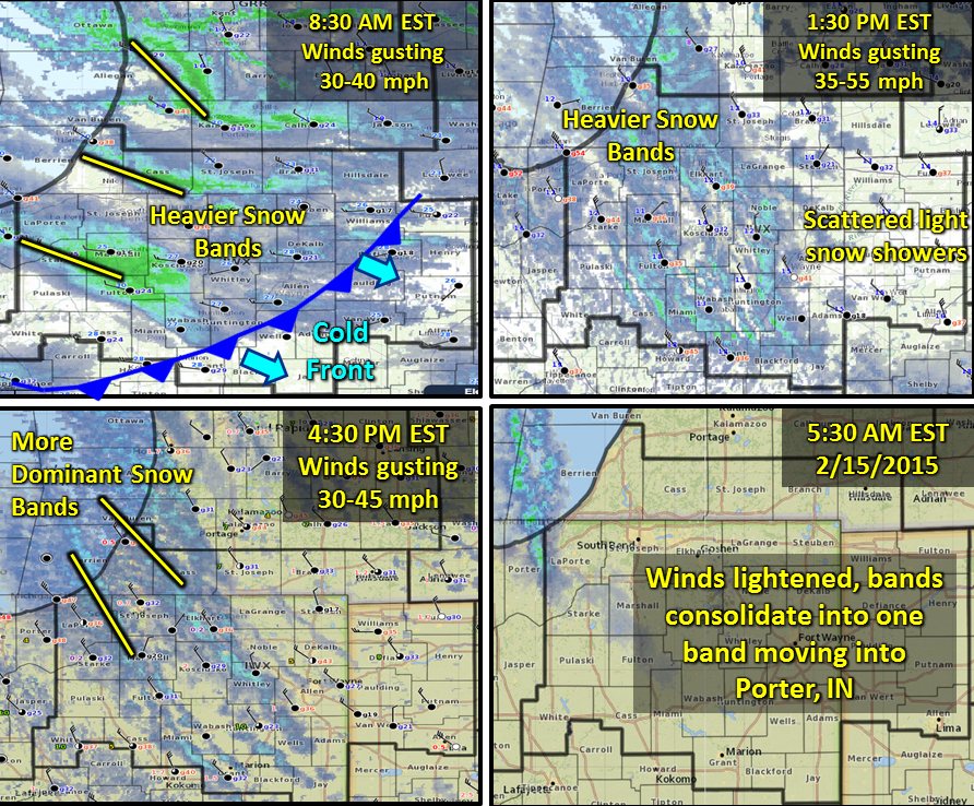
Figure 3. Annotated radar images from the event.
Snow Totals
Storm total snow with this event was on the lower end of expectations across the area, and varied greatly depending on whether or not a location was underneath the heavier snow bands that developed. The highest amounts were located west of a line extending from St. Joseph County, MI southeastward to Allen, IN. These areas received 2 to 5 inches as the snow bands gradually shifted westward throughout the day. Areas east of the line and further south generally saw between 1-2 inches, with a few expections as the snow was confined to the cold front and light afternoon showers. Reports for this event were limited, as many observers had difficulty accurately measuring the snow because of the extensive blowing and drifting.
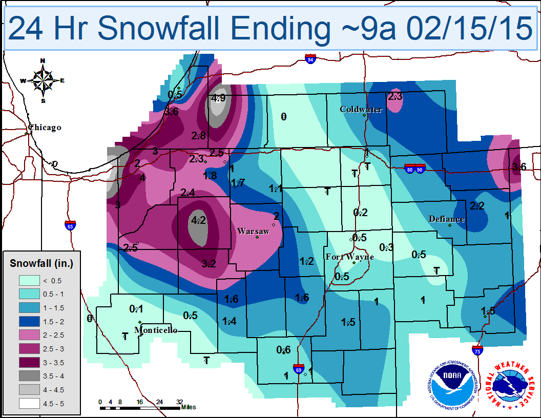
Figure 4. Storm total snowfall from 9 am 2/14 to 9 am 2/15 2015. Highest amounts were in the west.
Wind Chills
...WIND CHILL REPORTS...
LOCATION                     TEMP      TIME/DATE       LAT/LON

...INDIANA...

...ALLEN COUNTY...
1 ESE NEW HAVEN              -18 F     0704 AM 02/15   41.07N/85.01W
3 S WALLEN                   -16 F     0745 AM 02/15   41.12N/85.16W
1 NNW MIDDLETOWN             -15 F     0802 AM 02/15   40.96N/85.05W

...DE KALB COUNTY...
2 SSW WATERLOO               -21 F     0620 AM 02/15   41.41N/85.04W
3 E SAINT JOHNS              -18 F     0735 AM 02/15   41.31N/85.06W

...ELKHART COUNTY...
1 W MIDDLEBURY               -24 F     0529 AM 02/15   41.67N/85.73W
GOSHEN MUNICIPAL AIRPORT     -18 F     0653 AM 02/15   41.53N/85.79W
3 NE OSCEOLA                 -15 F     0540 AM 02/15   41.71N/86.04W

...KOSCIUSKO COUNTY...
WARSAW MUNICIPAL AIRPORT     -15 F     0755 AM 02/15   41.27N/85.84W

...NOBLE COUNTY...
LIGONIER                     -16 F     0759 AM 02/15   41.46N/85.59W
1 E BIG LAKE                 -15 F     0743 AM 02/15   41.28N/85.47W
LIGONIER                     -15 F     0734 AM 02/15   41.46N/85.59W

...ST. JOSEPH COUNTY...
SOUTH BEND REGIONAL AIRPORT  -15 F     0654 AM 02/15   41.71N/86.32W
2 NW SOUTH BEND              -15 F     0810 AM 02/15   41.69N/86.29W

...STEUBEN COUNTY...
PLEASANT LAKE                -25 F     0800 AM 02/15   41.58N/85.01W
1 SE CROOKED LAKE            -21 F     0818 AM 02/15   41.66N/85.02W
TRI-STATE STEUBEN COUNTY AIR -20 F     0735 AM 02/15   41.64N/85.08W

...MICHIGAN...

...BERRIEN COUNTY...
COLOMA                       -20 F     0600 AM 02/15   42.20N/86.31W
SOUTHWEST MICHIGAN REGIONAL  -17 F     0653 AM 02/15   42.13N/86.43W

...BRANCH COUNTY...
COLDWATER                    -24 F     0734 AM 02/15   41.93N/85.05W

...CASS COUNTY...
1 WSW DIAMOND LAKE           -20 F     0600 AM 02/15   41.90N/86.00W

...HILLSDALE COUNTY...
1 SE JEROME                  -21 F     0747 AM 02/15   42.02N/84.46W
LITCHFIELD                   -20 F     0603 AM 02/15   42.05N/84.75W
HILLSDALE MUNICIPAL AIRPORT  -20 F     0415 AM 02/15   41.92N/84.59W

...ST. JOSEPH COUNTY...
STURGIS                      -23 F     0814 AM 02/15   41.81N/85.44W
2 SE MENDON                  -19 F     0500 AM 02/15   41.98N/85.43W
THREE RIVERS MUNICIPAL DR HA -18 F     0654 AM 02/15   41.96N/85.59W
1 SSE CONSTANTINE            -17 F     0600 AM 02/15   41.82N/85.66W

...OHIO...

...ALLEN COUNTY...
LIMA ALLEN COUNTY AIRPORT    -17 F     0653 AM 02/15   40.71N/84.02W
BLUFFTON                     -16 F     0515 AM 02/15   40.89N/83.89W
FORT SHAWNEE                 -15 F     0651 AM 02/15   40.68N/84.13W

...DEFIANCE COUNTY...
2 W NEY                      -23 F     0711 AM 02/15   41.38N/84.55W
3 E EVANSPORT                -20 F     0730 AM 02/15   41.42N/84.34W
AYERSVILLE                   -19 F     0809 AM 02/15   41.24N/84.29W
DEFIANCE MEMORIAL AIRPORT    -19 F     0553 AM 02/15   41.34N/84.43W

...FULTON COUNTY...
FULTON CNTY AP               -27 F     0755 AM 02/15   41.61N/84.13W
1 S ASSUMPTION               -26 F     0710 AM 02/15   41.66N/83.91W
3 SSW MORENCI                -25 F     0740 AM 02/15   41.68N/84.23W
ARCHBOLD                     -22 F     0734 AM 02/15   41.52N/84.31W
2 SW WAUSEON                 -17 F     0604 AM 02/15   41.53N/84.18W

...HENRY COUNTY...
3 WNW RIDGEVILLE CORNERS     -24 F     0705 AM 02/15   41.45N/84.30W
3 SE NEW BAVARIA             -23 F     0610 AM 02/15   41.17N/84.13W
1 N BELMORE                  -22 F     0800 AM 02/15   41.17N/83.94W

...PAULDING COUNTY...
2 WSW ANTWERP                -15 F     0641 AM 02/15   41.17N/84.77W

...PUTNAM COUNTY...
OTTAWA                       -20 F     0500 AM 02/15   41.02N/84.05W
LEIPSIC                      -17 F     0430 AM 02/15   41.10N/83.99W
KALIDA                       -15 F     0803 AM 02/15   40.98N/84.20W
3 NNE FORT JENNINGS          -15 F     0801 AM 02/15   40.95N/84.27W

...VAN WERT COUNTY...
2 W MIDDLE POINT             -25 F     0810 AM 02/15   40.85N/84.48W
2 SW VAN WERT                -20 F     0749 AM 02/15   40.85N/84.60W
2 WNW VAN WERT               -19 F     0809 AM 02/15   40.88N/84.61W
3 NNW CONVOY                 -18 F     0802 AM 02/15   40.95N/84.73W
1 ENE VAN WERT               -17 F     0740 AM 02/15   40.87N/84.56W

...WILLIAMS COUNTY...
1 WSW BRYAN                  -24 F     0634 AM 02/15   41.46N/84.57W
3 SSW PIONEER                -22 F     0730 AM 02/15   41.64N/84.57W
2 SW HALLOCK                 -22 F     0719 AM 02/15   41.50N/84.59W
1 E COLUMBIA                 -20 F     0750 AM 02/15   41.63N/84.77W

OBSERVATIONS ARE COLLECTED FROM A VARIETY OF SOURCES WITH VARYING EQUIPMENT
AND EXPOSURE. NOT ALL DATA LISTED ARE CONSIDERED OFFICIAL.
Pictures
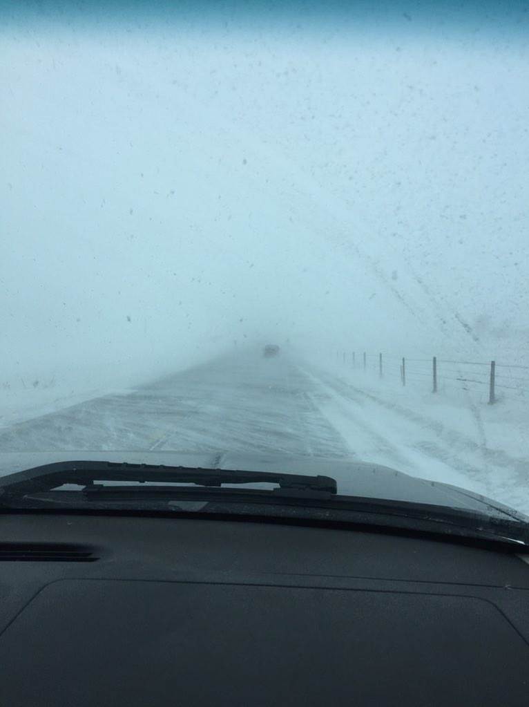
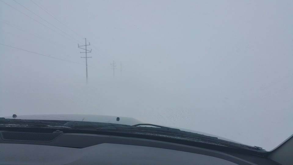
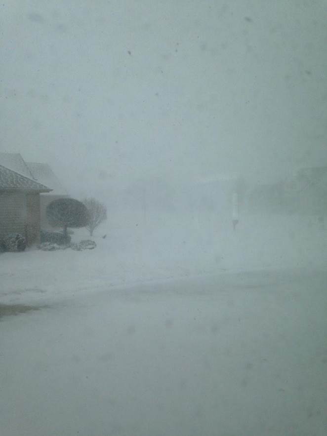
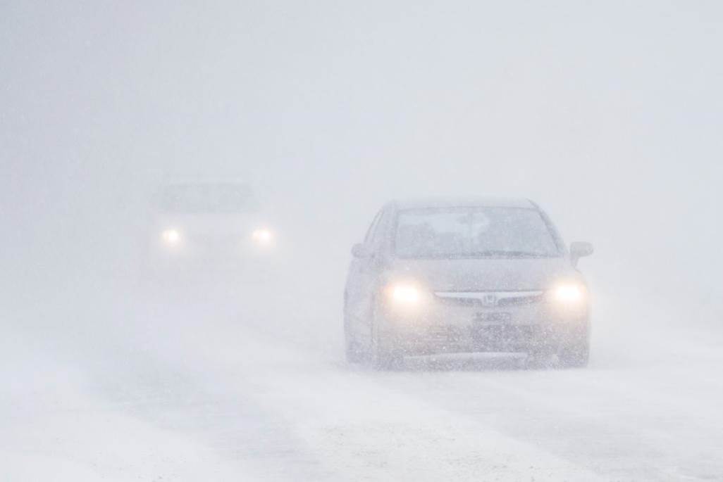
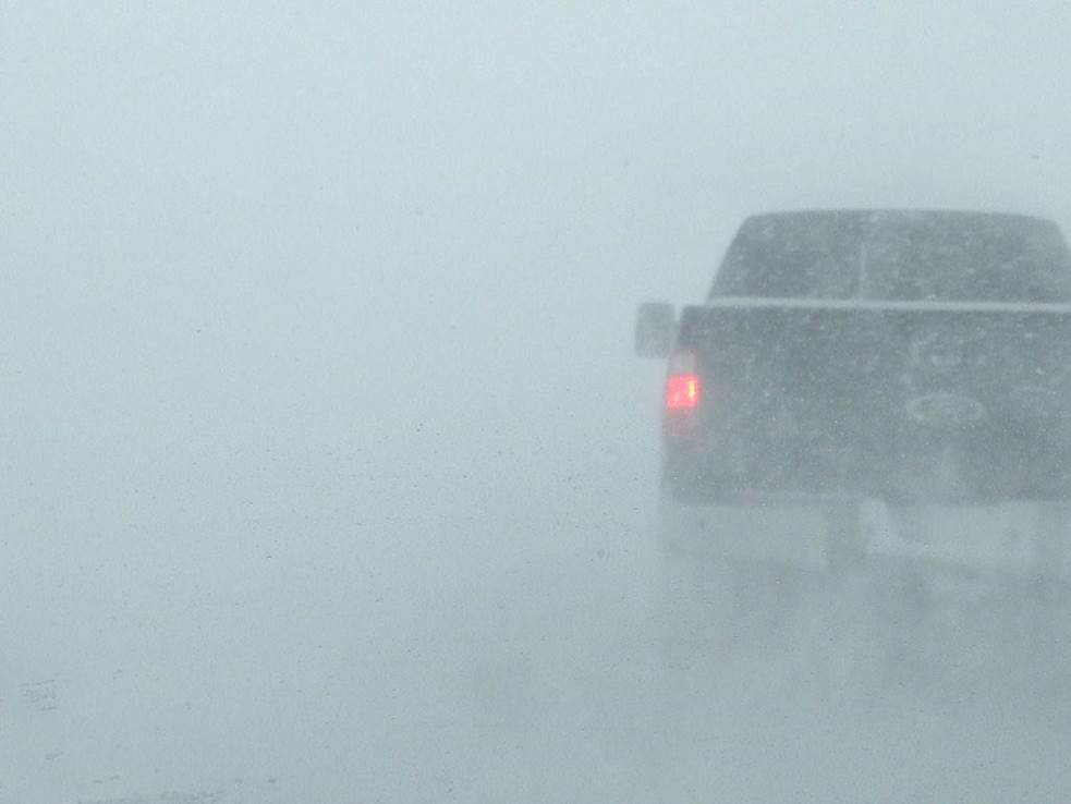
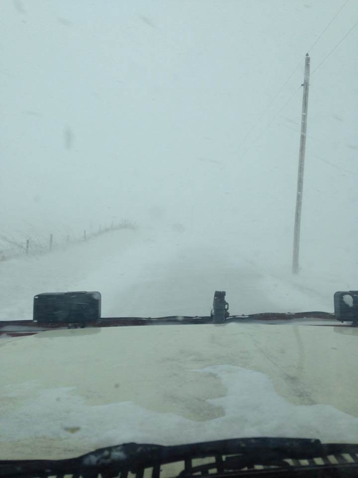
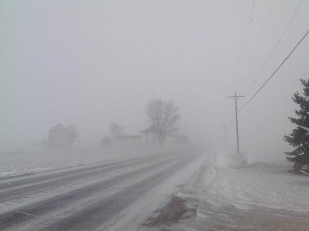
Several pictures were submitted to our office as well as local media of the conditions being seen by many people across the area. Conditions varied greatly from location to location ranging from zero visibility to no significant issues. Here are some of the pictures.
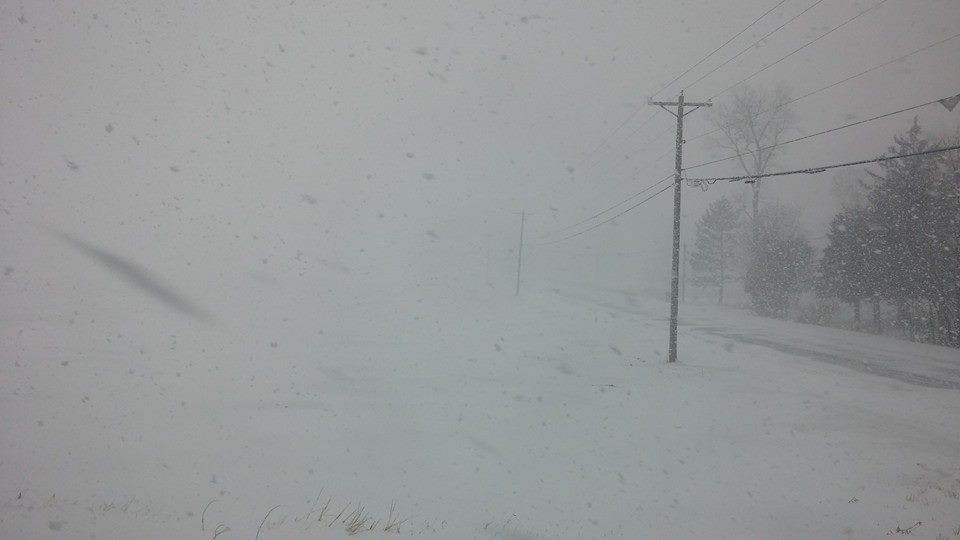 Allen county Ohio blizzard. Photo courtesy of Keith Rockhill Allen county Ohio blizzard. Photo courtesy of Keith Rockhill |
 Whiteout in Elkhart. Photo courtesy of Evan Bentley Whiteout in Elkhart. Photo courtesy of Evan Bentley |
 Whiteout in LaPorte county. Photo courtesy of Crystal Kidder Whiteout in LaPorte county. Photo courtesy of Crystal Kidder |
 Whiteout in Columbus Grove. Photo courtesy of Geddy Davis Whiteout in Columbus Grove. Photo courtesy of Geddy Davis |
 Convective lake effect snow showers. Photo courtesy of Derron Hess Convective lake effect snow showers. Photo courtesy of Derron Hess |
 Monticello, IN photo courtesy of KC9DHR Monticello, IN photo courtesy of KC9DHR |
 Ground blizzard in Huntington. Photo courtesy of Huntington EM Ground blizzard in Huntington. Photo courtesy of Huntington EM |
 Grant county. Photo courtesy of Barb Kitts Grant county. Photo courtesy of Barb Kitts |
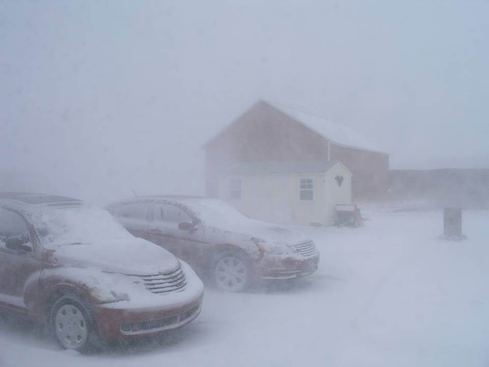 Blizzard on the farm. Photo courtesy of Barb Langston Blizzard on the farm. Photo courtesy of Barb Langston |
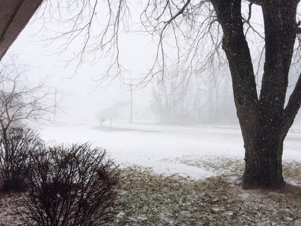
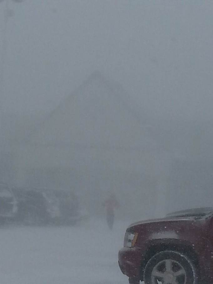 I can barely see the house - Coldwater. Photo courtesy of Kevin Barker I can barely see the house - Coldwater. Photo courtesy of Kevin Barker |
 White out in Niles. Photo courtesy of Kelli Stopczynski White out in Niles. Photo courtesy of Kelli Stopczynski |
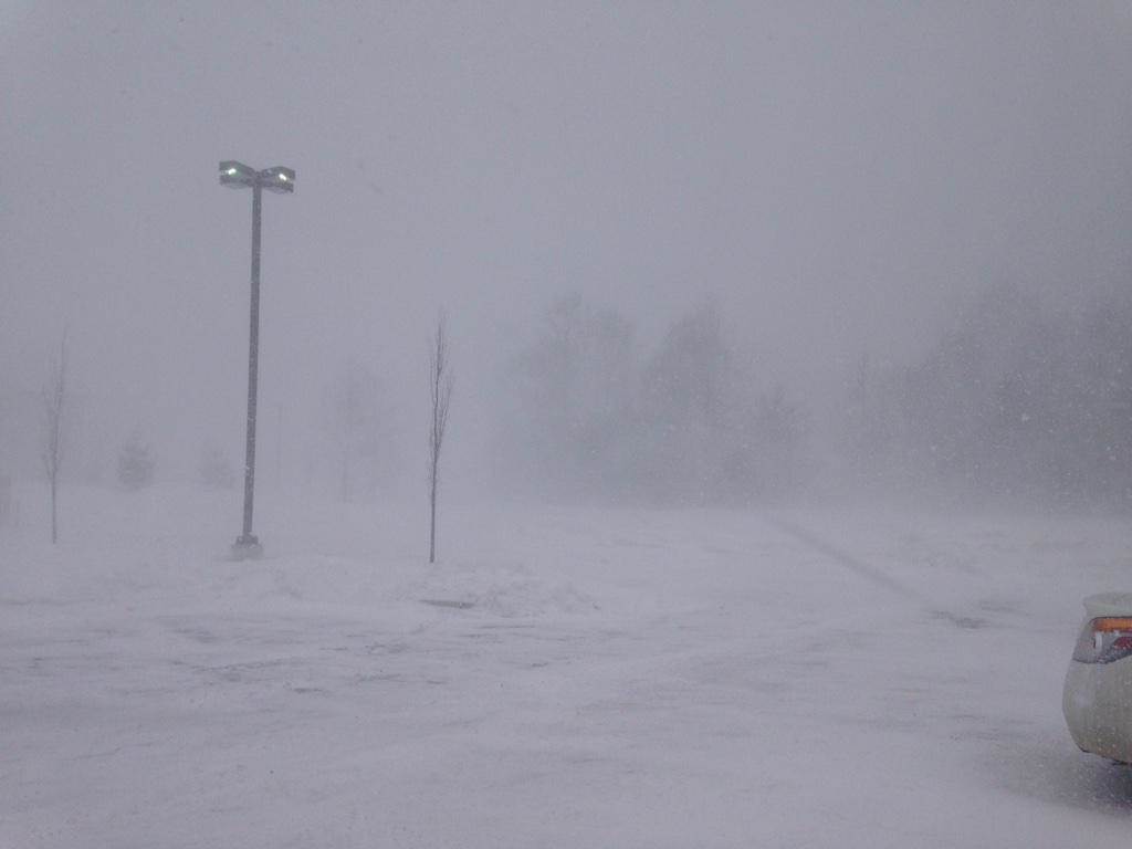 A view from the parking lot of ABC 57. Photo courtesy of Emily Kinzer A view from the parking lot of ABC 57. Photo courtesy of Emily Kinzer |
 Whiteout in St Joseph. Photo courtesy of Robert Franklin Whiteout in St Joseph. Photo courtesy of Robert Franklin |
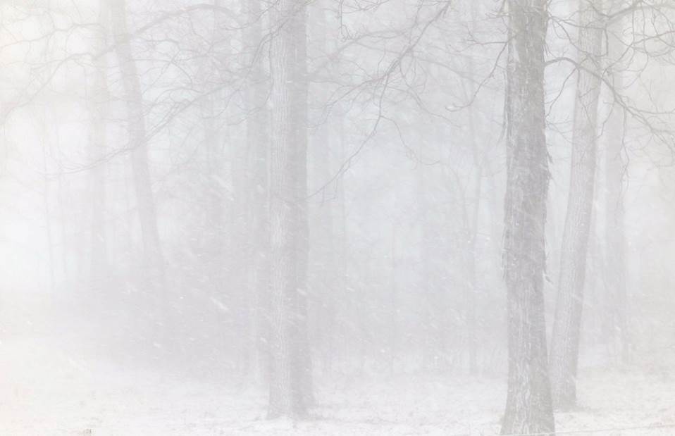
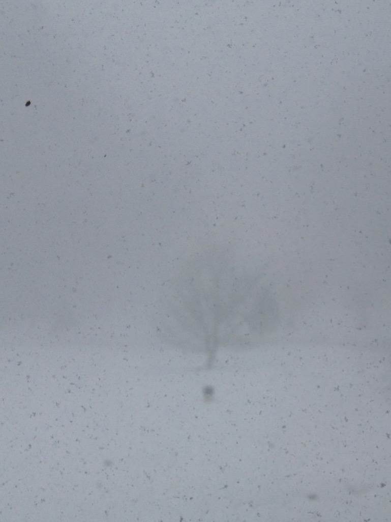 Ghost Tree - Warsaw. Ghost Tree - Warsaw. |
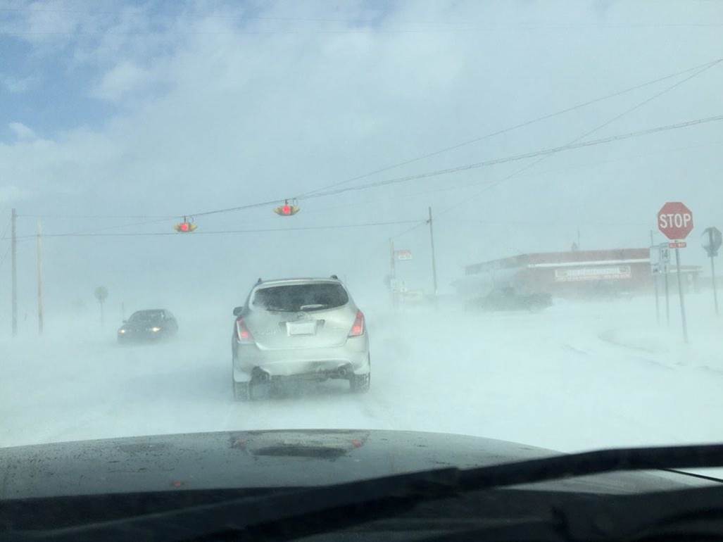
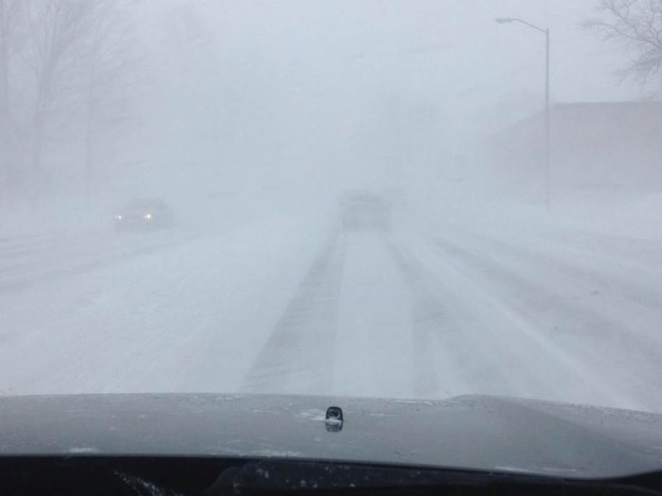
 Driving blind on SR19. Photo courtesy of Scott Low Driving blind on SR19. Photo courtesy of Scott Low |
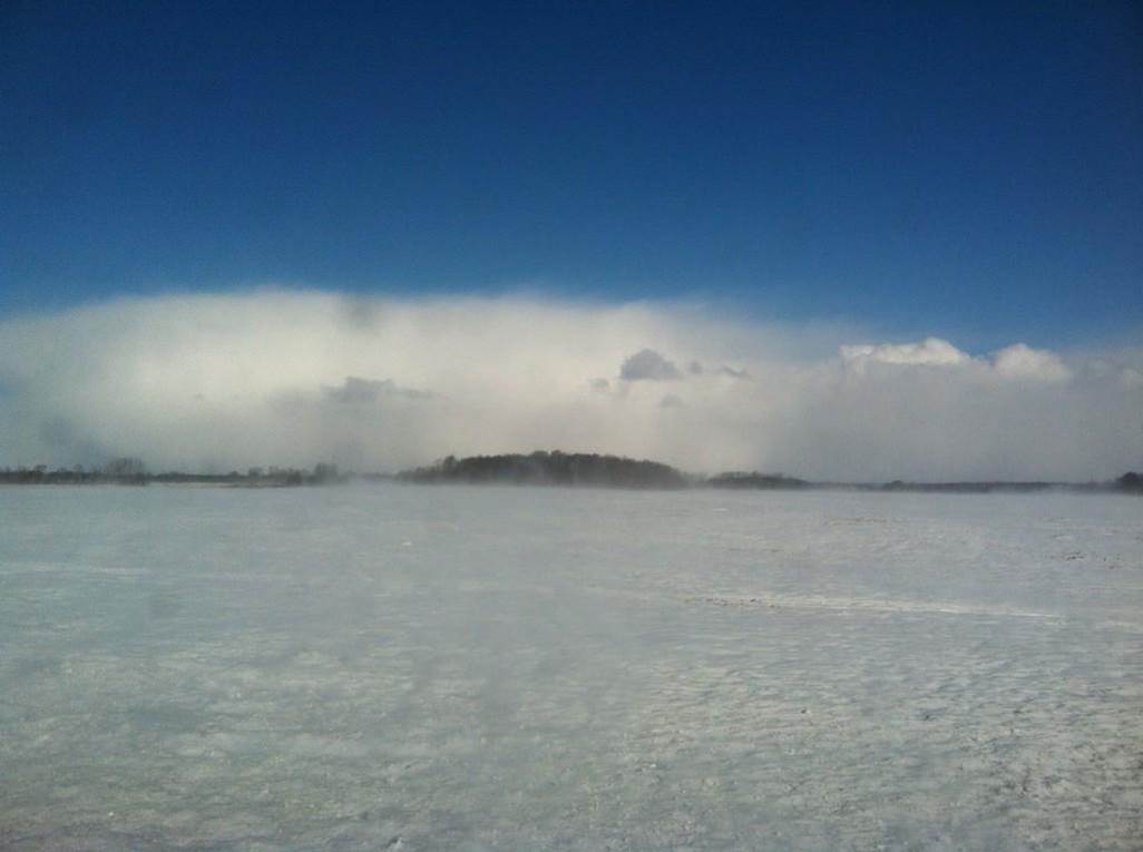
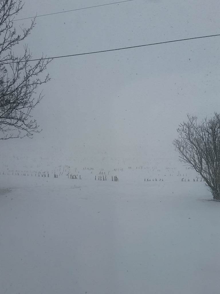 Field of white. Photo courtesy of Logan Gonya Field of white. Photo courtesy of Logan Gonya |
 Where is the road?. Photo courtesy of Ray Heater Where is the road?. Photo courtesy of Ray Heater |
 Highway 32 near Union City. Photo courtesy of Jason Burton Highway 32 near Union City. Photo courtesy of Jason Burton |
 Ghost Tree - Warsaw.
 Field of white. Photo courtesy of Logan Gonya

 Follow us on YouTube