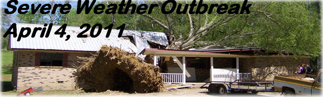
April 4, 2011 Hinds County Tornado
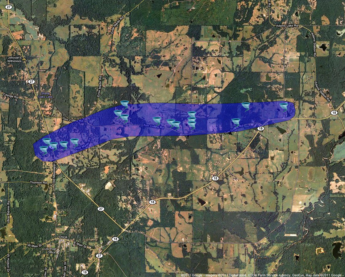
Click on Map Below to Zoom In/Out and Damage Notation
|
Event Summary The tornado started near Highway 27 north of Utica, where it downed trees along the road. Along Ernie Martin Road, the tornado uprooted or snapped a number of pine trees. The tornado then moved nearly parallel to Tom Collins Road, uprooting a number of large hardwood trees and snapping many pine trees with damage in a convergent pattern. The tornado also destroyed two outbuildings. The tornado dissipated near Berry Road. |
|


 Follow us on YouTube