
Smith CountyTornado
|
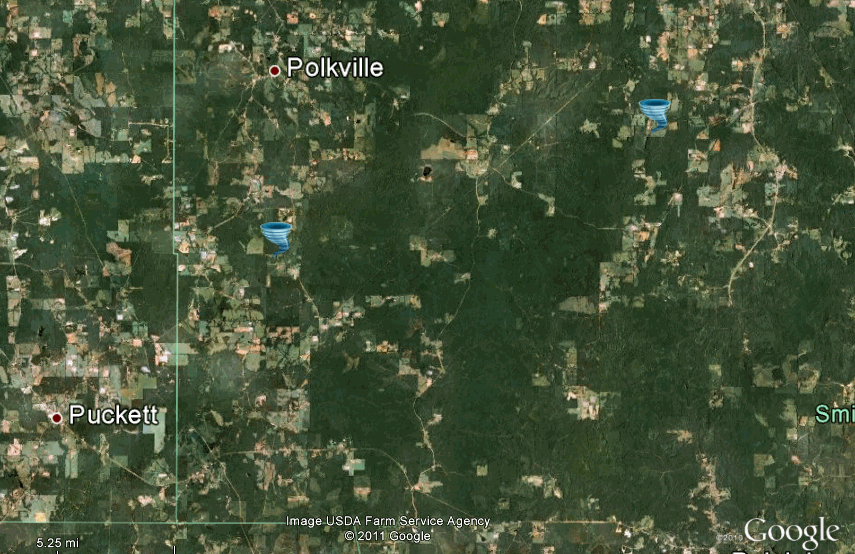
Event Summary The tornado touched down near County Road 131 to the south of Polkville, causing tree damage. It also caused two mobile homes to move off of their foundation. The tornado tracked to the northeast and caused major tree damage along County Road 559 to the east of Trenton. Two chicken homes were destroyed, a mobile home was destroyed, and a home had roof damage. An 18 wheeler cab and trailer was thrown about 300 yards. |
|
Radar Imagery
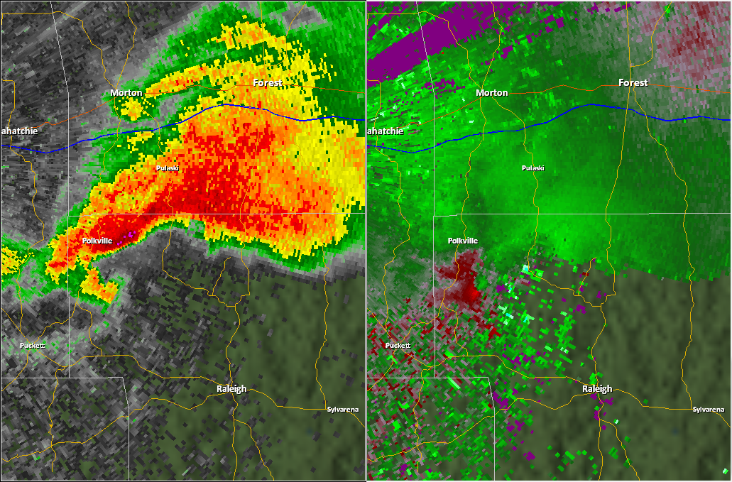
These images from the Brandon, MS Doppler radar show the tornadic thunderstorm at 4:27pm when it was located just southest of Polkville. The image on the left shows 0.5° base reflectivity data, and the image on the right shows 0.5° storm relative velocity data. Click on the thumbnail below for a higher resolution image.
 |
 |
 |
 |


 Follow us on YouTube