
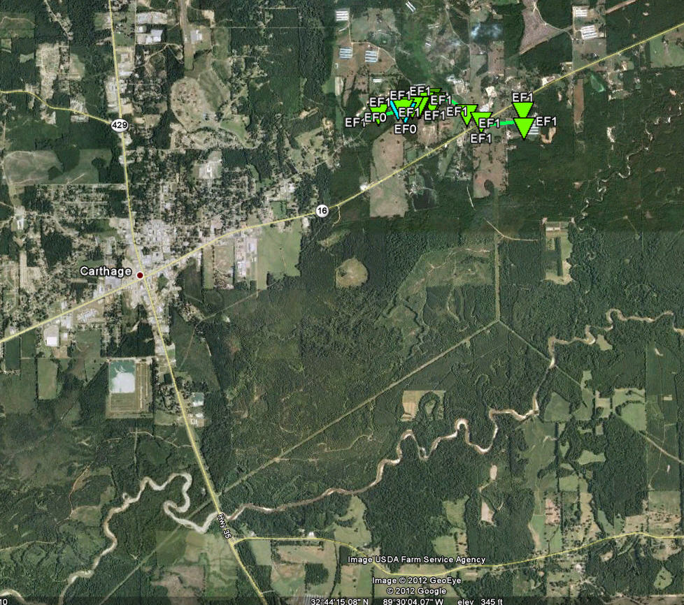
Central Leake County Tornado
Click on the map above for a detailed, interactive track map and damage pictures.
|
Event Summary Tornado began along East Franklin Street and tracked east along it for roughly 0.75 miles...producing significant damage to several homes and destroying outbuildings and sheds. The tornado then turned more east southeast...producing tree damage and more sporadic structural damage as it crossed Highway 16. The tornado lifted shortly thereafter...but not before seriously damaging several chicken houses. |
|


 Follow us on YouTube