Overview
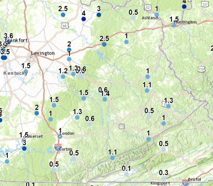
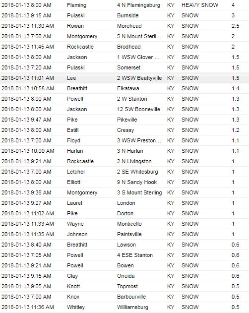
An area of low pressure tracked across Kentucky on Friday, January 12th into Saturday, January 13th, bringing widespread precipitation to the state. Precipitation began as rain across east Kentucky on Friday and quickly changed over to snow from west to east Friday evening. Snowfall totals generally ranged from a half an inch up to 4 inches across east Kentucky with the highest amounts north of I-64.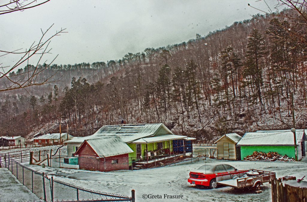 |
 |
 |
| Harold, Kentucky. Courtesy Greta Frasure. |
Hatfield, Kentucky. Courtesy Mary Reed Runyon. |
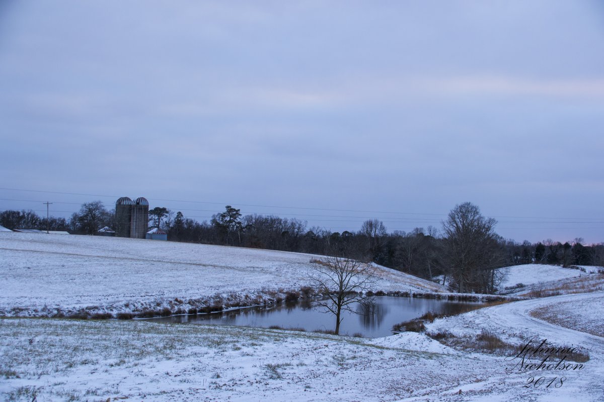
London, Kentucky. Courtesy Johnnie Nicholson. |
Storm Reports
 |
Media use of NWS Web News Stories is encouraged! Please acknowledge the NWS as the source of any news information accessed from this site. |
|


 Follow us on YouTube