Middle Clouds
Type 1 (altostratus [AS], predominantly semi-transparent, the Sun or moon is weakly visible):
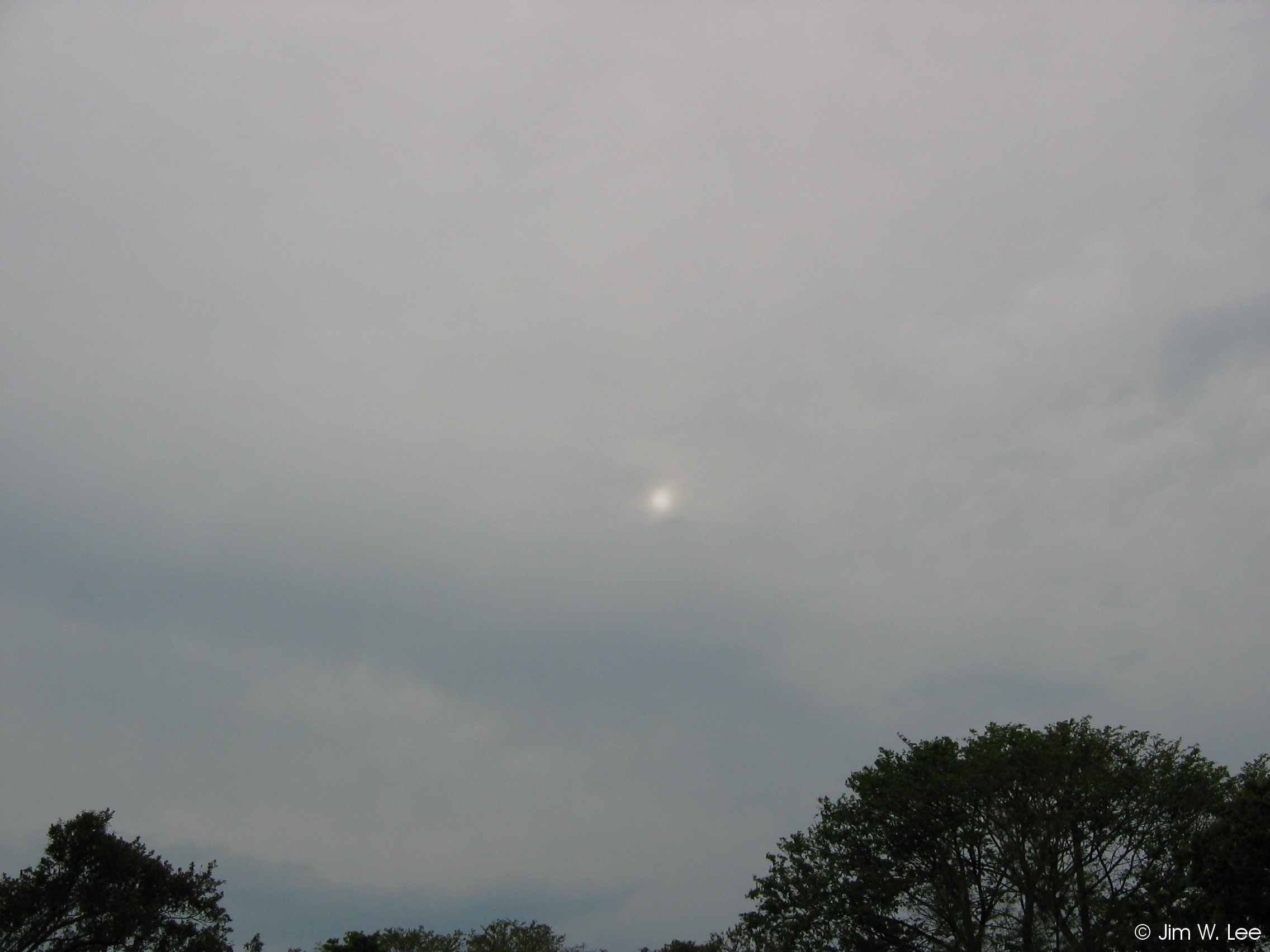
In the Keys, altostratus (AS) clouds are usually based between 8,000 and 15,000 feet, and are generally grey and shapeless. They require a very moist layer of air, and sometimes spread out from large thunderstorm complexes which can be up to several hundred miles away. Type 1 AS are thin enough that the sun or moon will be at least dimly visible through them.
Type 2 (AS, predominantly opaque enough to hide the Sun or moon):
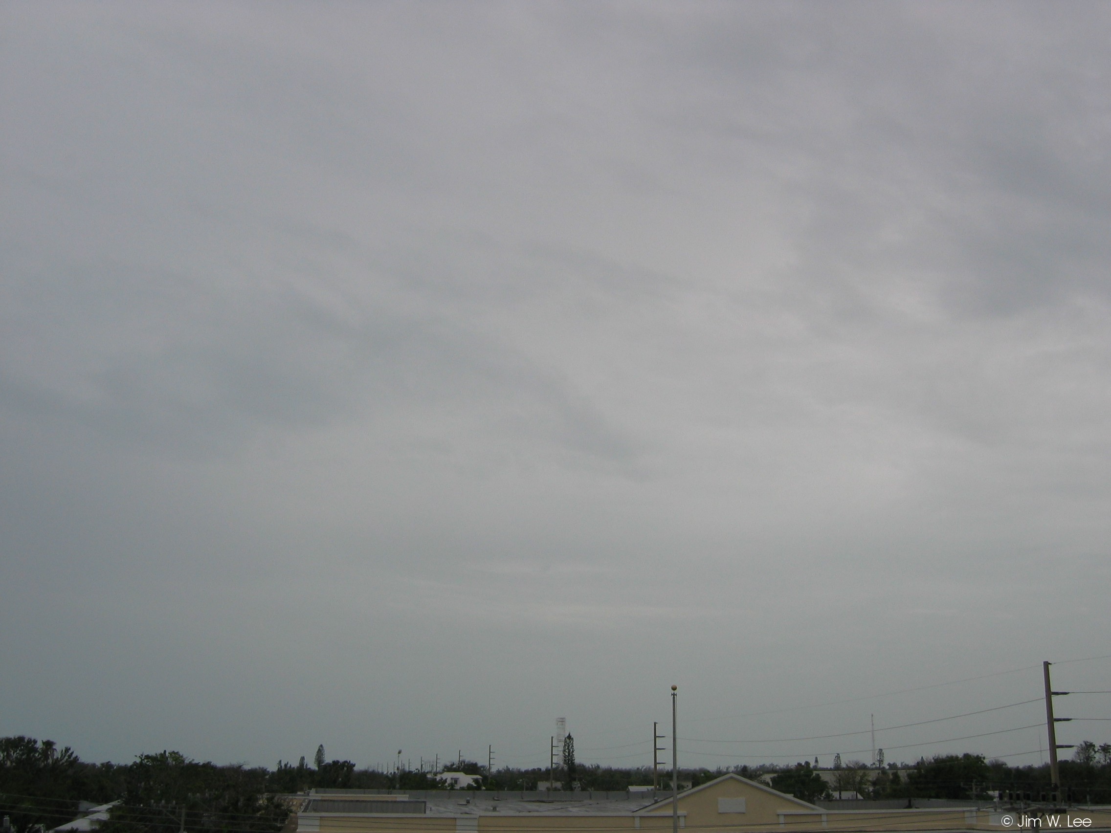
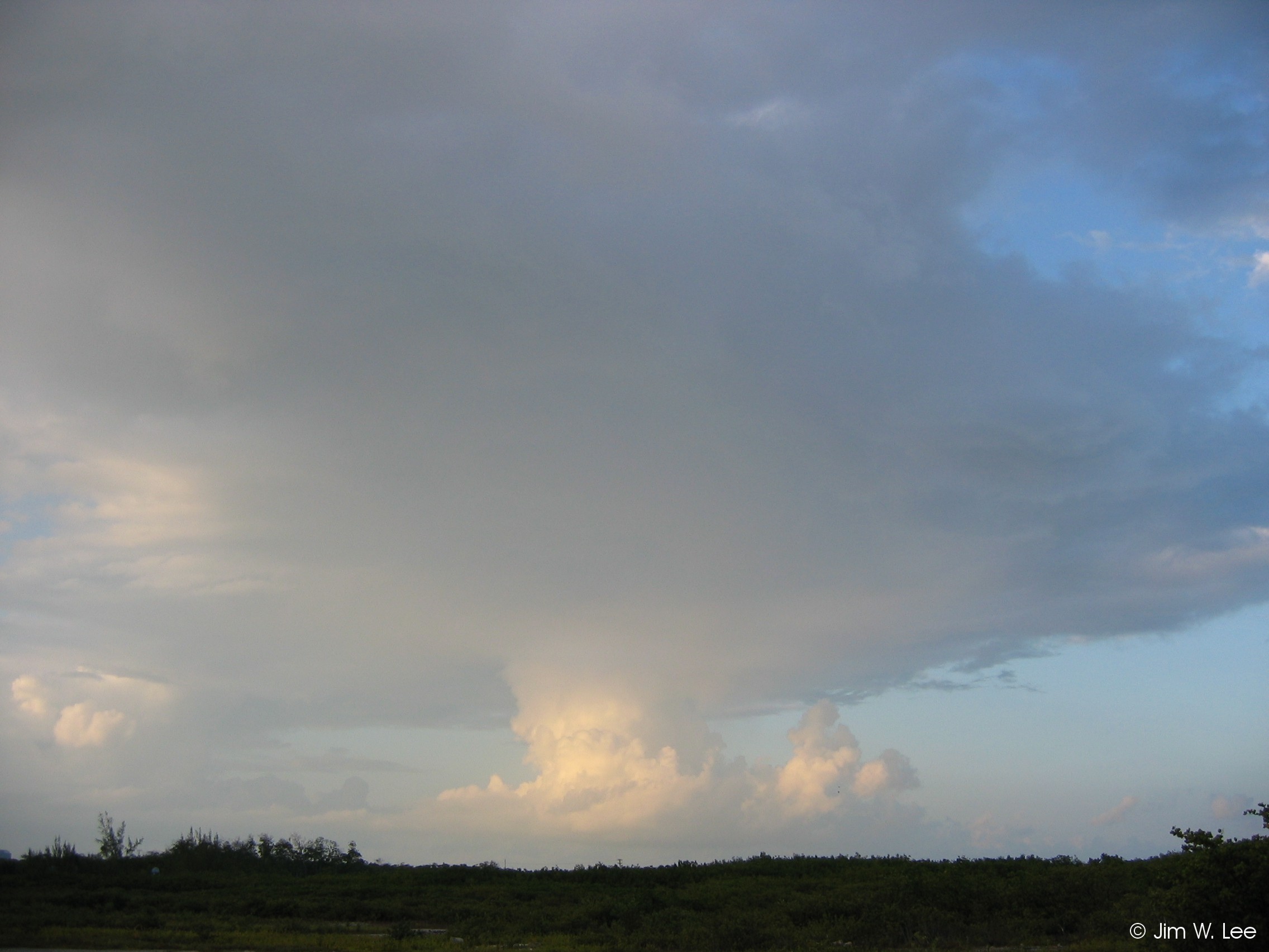
Type 2 AS are thick enough to hide the sun or moon, and can sometimes produce light rain. In the Keys, they usually indicate that a complex of thunderstorms is within a few hundred miles away, but is not necessarily moving toward the area.
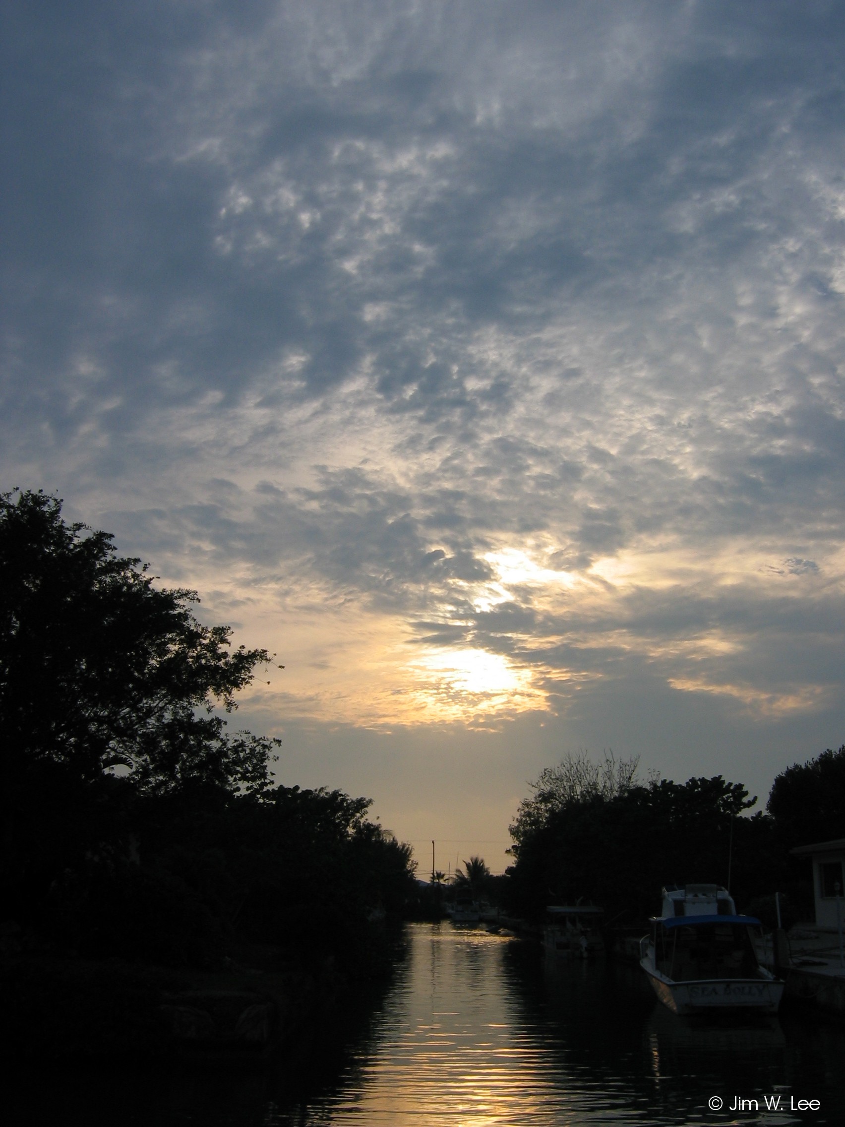
Type 3 (altocumulus [AC] at one level, not progressively invading the sky, the greater part of which is semi-transparent):
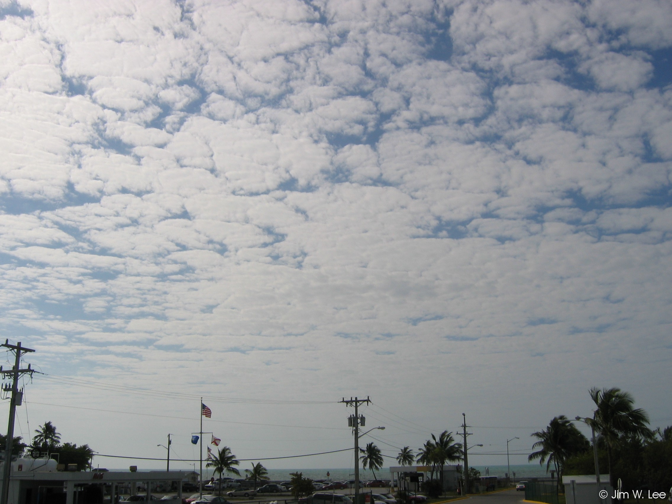
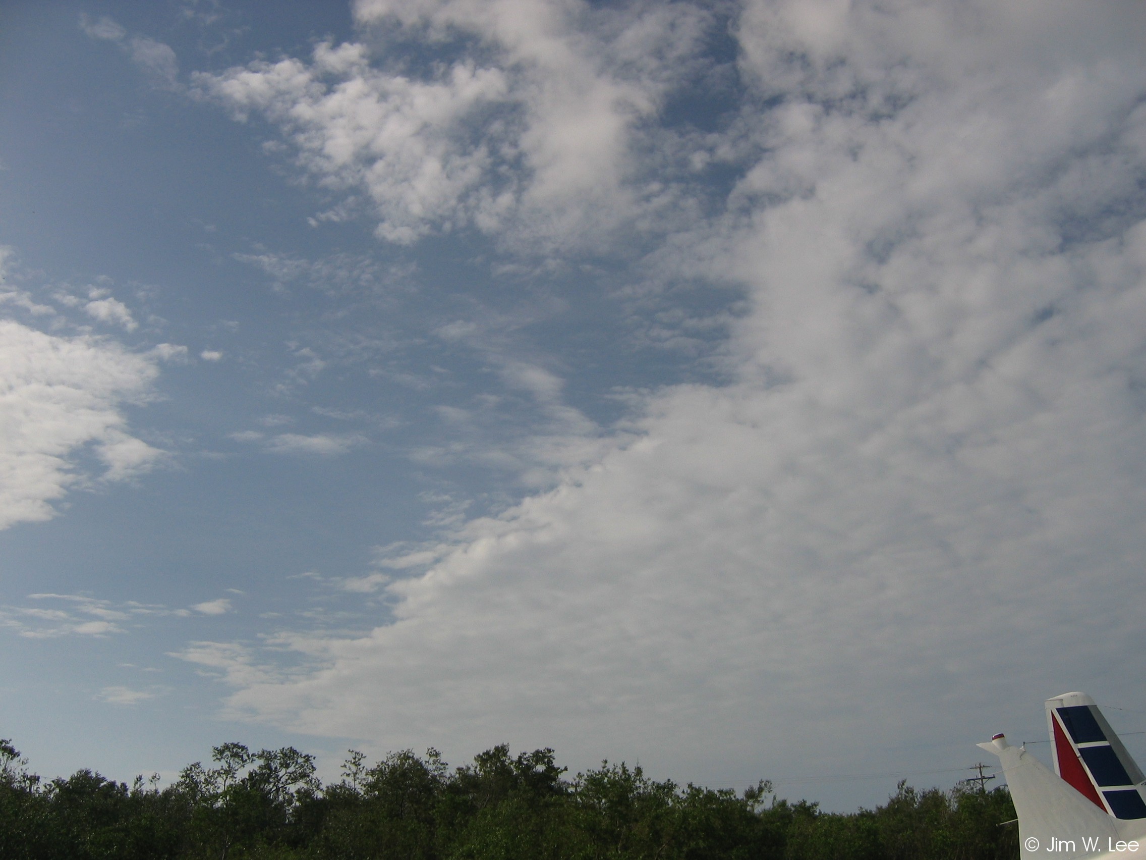
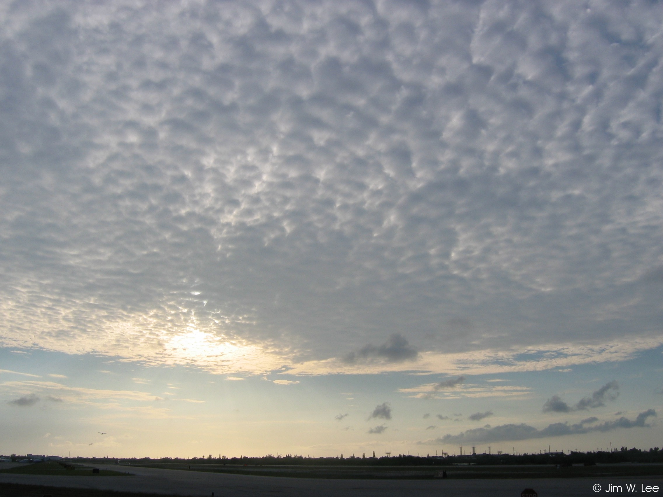
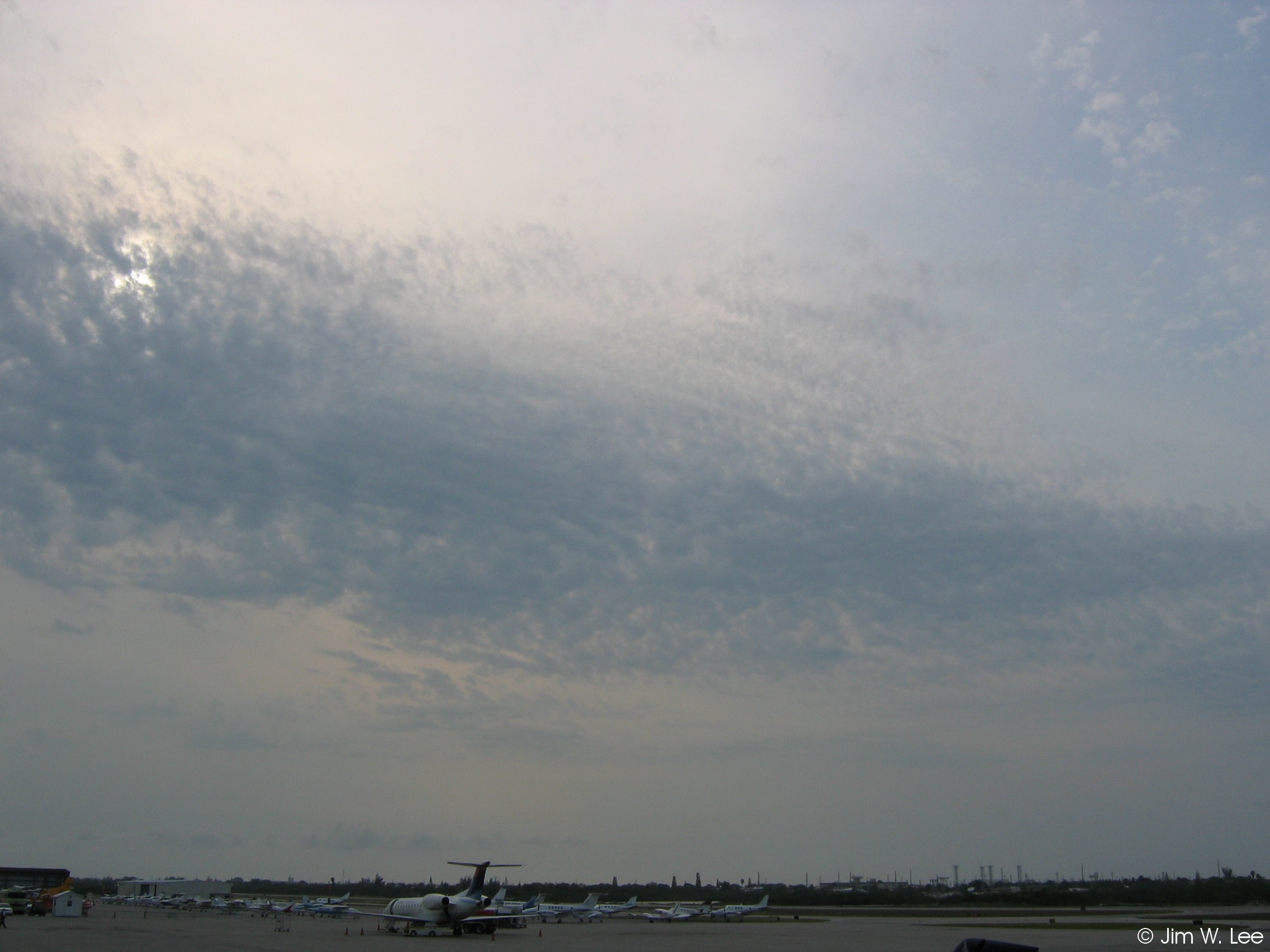
Altocumulus (AC) clouds form much higher above the ground than cumulus, and are usually much flatter and thinner, often appearing as scales or patches in a relatively continuous layer. In the Keys, AC are usually based between 7,000 and 15,000 feet above ground, and can occur at any time of year. Higher AC are generally thinner, and are classified as type 3 when they are semi-transparent enough to allow the sun or moon to be easily visible.
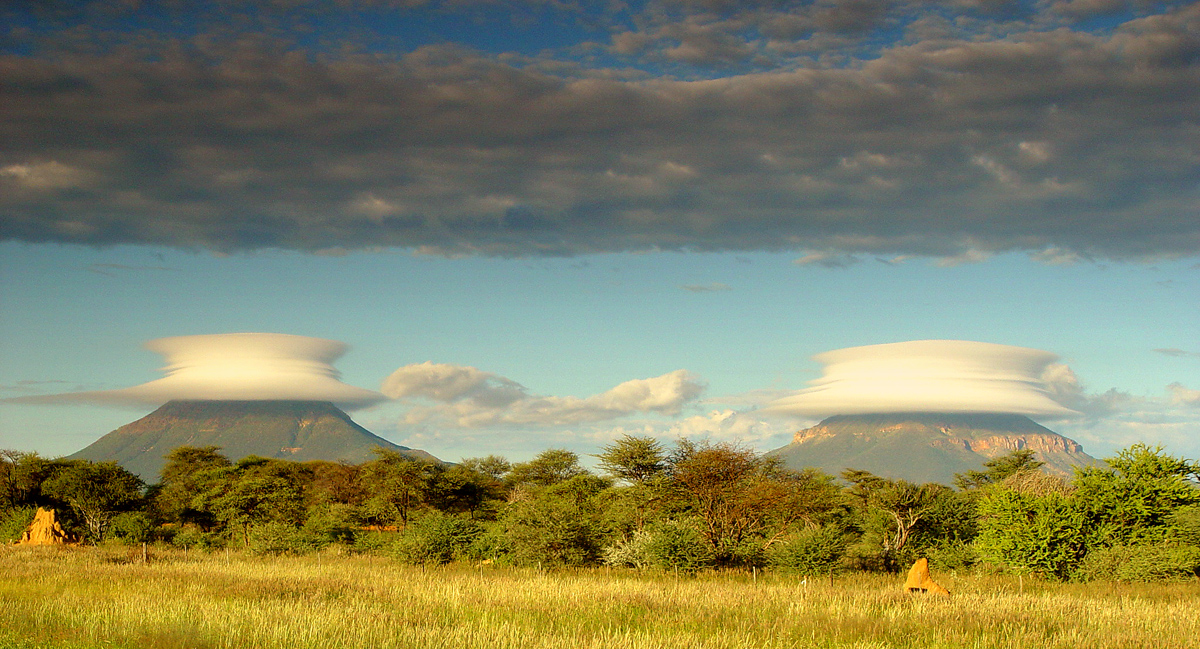
Type 4 (lenticular AC):
Lenticular AC are sometimes called "flying saucer" clouds, and are formed by air moving over hills or mountains. Because South Florida is so flat, lenticular clouds do not occur in the Keys. The picture below was found on the Internet, it was taken in Africa.
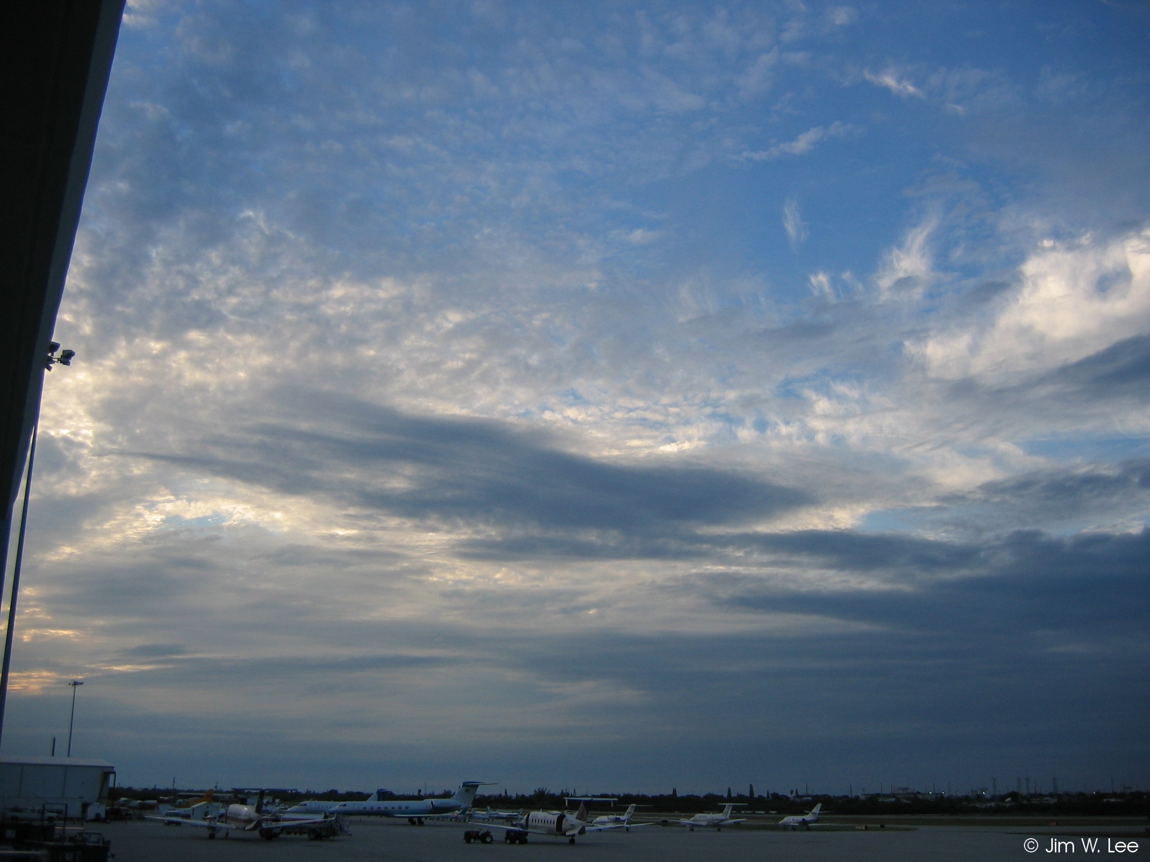
Type 5 (AC in one or more fairly continuous layers progressively invading the sky, or semi-transparent AC in bands):
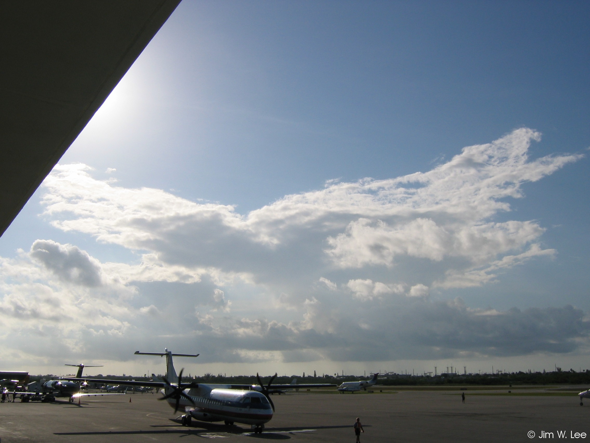
When AC (or other middle or high clouds) are "progressively invading the sky", it can sometimes indicate an impending change in weather. For example, cloud decks will often progressively invade ahead of an approaching cold front or large storm system. Sometimes, however, they may simply indicate a pocket of moist air passing overhead, or some other unremarkable phenomenon.
Type 6 (AC formed formed by the spreading/flattening of cumulus or CB):
Type 6 AC are similar to (low cloud) type 4 SC, in that they form as previously existing clouds spread out at some level. In this case, tall (i.e., low cloud type 2, 3, or 9) cumulus/CB clouds can sometimes produce spreading AC as they rise through a humid, unstable layer of air. Type 6 AC usually indicate that the atmosphere is moist through a deep layer, and are often associated with showers or thunderstorms in the Summer.
Type 7 (AC in one or more layers, mainly opaque, not expanding, or AC with AS):
Type 7 is a "catch-all" category for AC that do not fall into the categories of the other AC cloud types. They can occur under a variety of conditions, and usually do not have any significant weather implications.
Type 8 (AC with sproutings or tufts, or "floccus"):
Type 8 AC often appear somewhat similar to (low cloud) type 1 cumulus, but are based at a much higher level (usually 7,000 to 12,000 feet above ground in the Keys). They are identified by the forms of sproutings, puffs, or turrets like the battlements of a castle, and sometimes produce precipitation which rarely reaches the ground (as in the first picture below). When these clouds resemble cotton balls (as in the second picture below), they are sometimes called "floccus". Type 8 AC indicate a mid-level layer of unstable air, but this does not always cause any significant weather to form.
Type 9 (chaotic sky with AC at several levels):
Sometimes the sky appears chaotic or confused, with several layers of AC at different levels, sometimes developing at different rates and moving in different directions. These are classified as type 9 AC, and occur when there is a deep layer of moist, unstable air between 7,000 feet and 15,000 feet above ground, and often changing winds throughout this layer. They can sometimes indicate an approaching change in weather, such as a cold front or storm system, but at other times are not accompanied by any significant weather at all.

