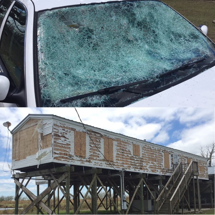
Left: Wind blown hail damage in Pecan Island (Image courtesy of Trevor Guillory, KATC)
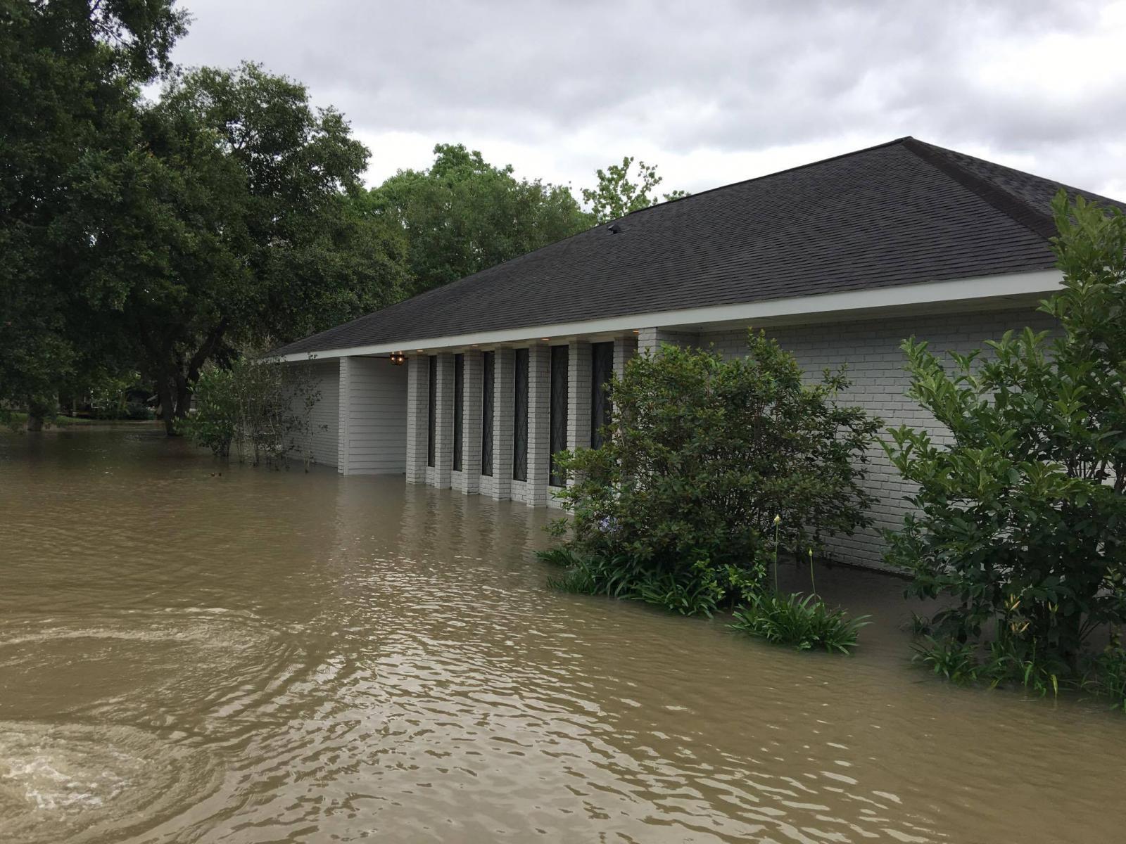
Right: Flash flooding in Welsh (Image courtesy of Cajun Weather Spotters)
Multiple rounds of severe weather occurred across Southeast Texas and Southwest Louisiana on May 3, 2017. Several supercell thunderstorms developed as a warm front lifted northward across the region during the morning hours. These storms produced very large hail with several locations reports hail up to the size of baseballs. Rain cooled air from these early morning thunderstorms and the warm front triggered additional rounds of thunderstorms throughout the day along the Interstate 10 corridor. The multiple rounds of thunderstorms produced 8 to 10+ inches of rainfall over a very short period of time. The heavy rainfall resulted in flash flooding with portions of Calcasieu and Jefferson Davis Parishes being most heavily impacted. The final round of severe weather occurred during the late evening hours as a squall line moved through the region producing sporadic wind damage and heavy rain over areas that had already experienced severe weather earlier in the day.
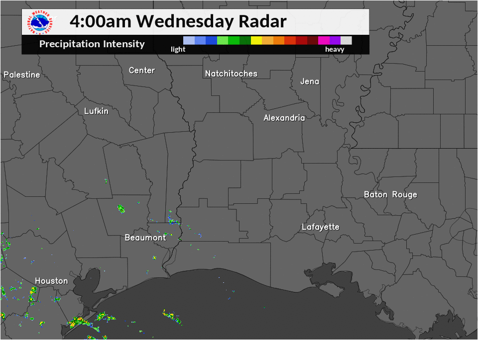
Radar loop from 4 AM May 3 through 6 AM May 4.
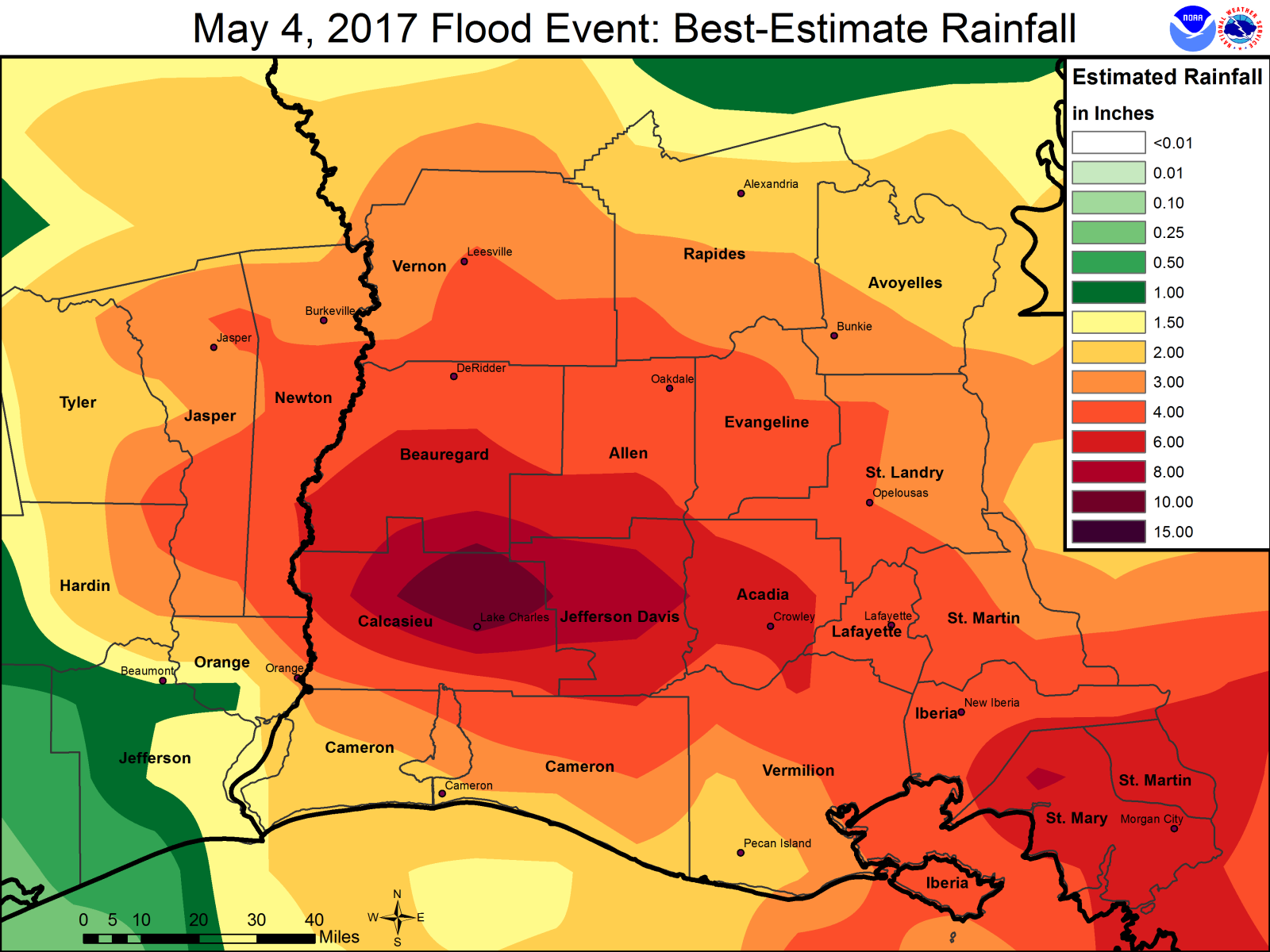
24 hour total rainfall ending on the morning of May 4, 2017.


 Follow us on YouTube