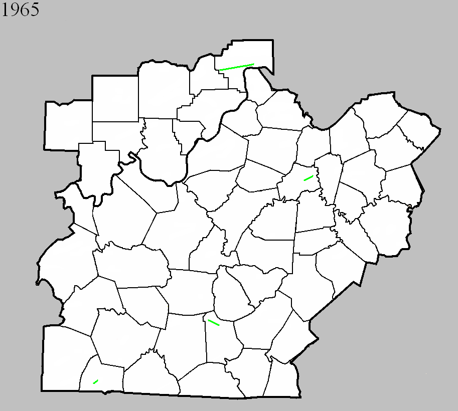
May 26, 1965
Counties: Simpson
F-scale: F2
Deaths:
Injuries:
Path width: 100 yards
Path length:
Time: 10:15pm
Noted discrepancies: SPC and NCDC list this as an F2...Grazulis does not list it. SPC gives a path length of 1/10 of a mile...NCDC gives nothing. SPC and Storm Data give a path width of 100 yards, NCDC gives nothing.
October 7, 1965
Counties: Jefferson IN
F-scale: F2
Deaths:
Injuries:
Path width:
Path length:
Time: 6:00pm
Noted discrepancies: SPC and NCDC list this as an F2...Grazulis does not list it.
Notes: Storm Data says this tornado touched down one mile west of Kent and moved east for two miles.
November 26, 1965
Counties: Metcalfe
F-scale: F2
Deaths: 1
Injuries: 1
Path width: 30 yards
Path length: 6 miles
Time: 11:00pm
Notes: Moved east from east of Hiseville to Savoyard and Sulphur Well. A trailer was demolished east of Savoyard, in which a woman named Glinda Jeffries was killed. Her body was carried about 100 yards. Her husband was injured. Their 2-year-old son remained unhurt.
Personal account from Brent Jeffries, cousin of Ronnie Jeffries, who was Glinda's husband: Tee Jeffries, Ronnie's father, went to the trailer to tell them that a bad storm was coming up and asked if they wanted to go to his house. Tee's house was right beside Ronnie's trailer. Ronnie said, "No we are just going to go to bed." So Tee started walking back to his house. Just as soon as Tee got on his car porch the tornado hit and sucked him up against the wall of his house. It threw Ronnie and Timmy, Ronnie's only son, into a mud puddle with just a few scratches. They found Glinda up in trees about 100 yards in front of her trailer. Tee climbed the tree and got her out. He said it felt like every bone in her body was broken but, she was still alive. They rushed her to T J Samson Community Hospital in Glasgow but, she died in Tee's arms about half a mile from the hospital. I was just 4 years old at the time but, I remember the wind blowing hard all that day. After the tornado hit my parents woke me up and we drove up there just about a mile away.
Noted discrepancies: SPC and NCDC give a path length of 5 miles, Grazulis and Storm Data give 6 miles (which appears more accurate). SPC gives a path width of 10 yards, NCDC 30 yards, Grazulis gives nothing. SPC/NCDC start this tornado at Savoyard in Metcalfe County...Grazulis and Storm Data start it "east of Hiseville" with Grazulis starting it in Barren County but Storm Data only mentioning Metcalfe County (Hiseville is three miles inside Barren County) on KY 314. In subsequent research, no evidence has been found of damage in Barren County, so will only include Metcalfe County at this time.
November 26, 1965
Counties: Anderson
F-scale: F2
Deaths: 0
Injuries: 8
Path width:
Path length: 3 miles
Time: 11:05pm
Grazulis narrative: Moved northeast from west of Lawrenceburg to the edge of town. A trailer was demolished, and the occupants were severely injured. A brick building was unroofed and had a wall blown down. Many buildings had roof or other damage.
Noted discrepancies: SPC, NCDC, and Storm Data give a path length of 3 miles, Grazulis gives 6 miles. SPC gives a path width of 10 yards, NCDC 30 yards, Storm Data 500 yards, Grazulis nothing. Grazulis times this tornado one hour later (12:05am November 27)...could be a time zone issue here (either with Grazulis or the NWS).
Notes: Storm Data says this tornado touched down initially west of Lawrenceburg and moved into the downtown section of that city. The storm then lifted but came back down at the eastern edge of town. According to news accounts, damage was heavy in Lawrenceburg, especially in a three-block wide swath through downtown. The Anderson County courthouse lost some of its roof.


 Weather Story
 Weather Map
 Local Radar
 Follow us on YouTube