August 2, 1954
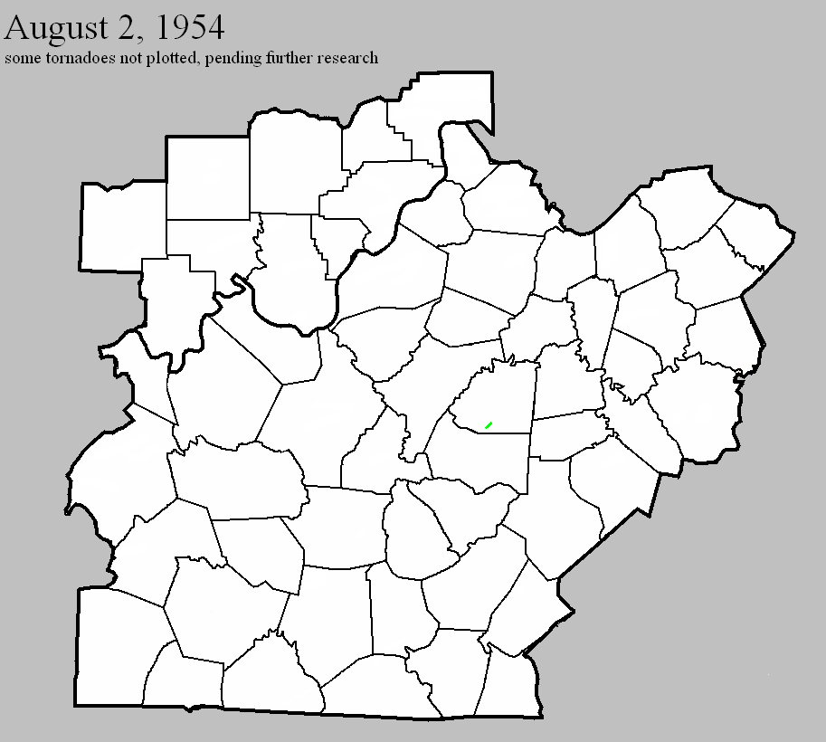
Counties: Washington KY
F-scale: F2
Deaths: 0
Injuries: 0
Path width:
Path length:
Time: 3:00pm
Grazulis Narrative: Three barns and a small school were destroyed two miles south of Springfield. One home was unroofed.
Noted discrepancies: SPC and Storm Data list both Taylor and Washington counties...NCDC lists only Taylor County...Grazulis lists only Washington County. SPC's and Storm Data's "Taylor and Washington" counties makes no sense since those two counties don't border each other. SPC/NCDC's lat/lon pairs start this tornado in Taylor County and end it in Washington County, crossing the entire width of Marion County in between. SPC and NCDC give a path length of 15 miles, Grazulis and Storm Data give 1 1/2 miles. SPC gives a path width of 10 yards...NCDC 30 yards...Grazulis and Storm Data 100 yards. Apparently the only tornado damage Grazulis could find with this event was two miles south of Springfield near the Washington/Marion County line (which is where SPC and NCDC have the tornado track's end point). Storm Data narrative says, "Tornado first appeared near Finley in Taylor County, completely missed Marion County, and came to earth again in Washington County a short distance south of Springfield." The distance across Marion County is about 14 miles. Thus, it seems this should be plotted as two separate tornadoes...with one in Taylor County near Finely and the other in Washington County near Springfield. However, before plotting the Taylor County tornado, an F-scale must be investigated.


 Weather Story
 Weather Map
 Local Radar
 Follow us on YouTube