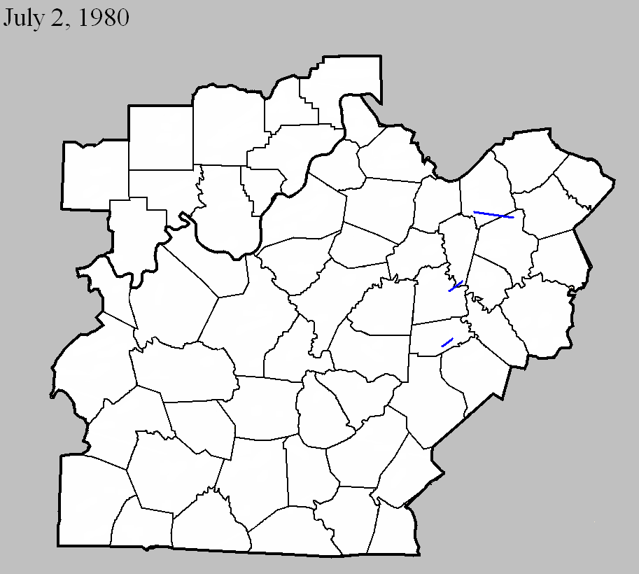
July 2, 1980
Counties: Scott KY, Fayette
F-scale: F1
Deaths: 0
Injuries: 0
Path width: 300 yards
Path length: 13 miles (skipping)
Time: 6:55pm
Noted discrepancies: SPC gives a path width of 10 yards, NCDC 30 yards, Storm Data 300 yards. The details concerning this tornado are somewhat murky, but it appears that it touched down southwest of Georgetown where it damaged a greenhouse, and skipped to the east into far northern Fayette County. The Lexington Leader mentions the tornado north of the city but doesn't say anything about any damage. Rather, the paper instead describes damage in Lexington in a southwest-northeast path from Collier Court through Balmoral Court to the intersection of Bryanwood Parkway and Bellcastle Road. It's possible that this was a very small weak tornado, but knowing that for certain is virtually impossible this far after the event. The newspaper also mentions light damage on Nantucket Drive and Melbourne Way in the southwest part of the city, and a tree that was blown down somewhere on Emerson Drive.
July 2, 1980
Counties: Mercer, Woodford
F-scale: F1
Deaths:
Injuries: 1
Path width:
Path length:
Time: 7:30pm
Noted discrepancies: Storm Data also includes Jessamine County, but mentions no specific damage.
July 2, 1980
Counties: Boyle
F-scale: F1
Deaths:
Injuries:
Path width:
Path length:
Time: 7:45pm
Noted discrepancies: Storm Data mentions damage at Perryville, Parksville, and Michelsville. Lat/lon pair given by SPC disagrees with this storm striking Perryville. Cannot find Michelsville on any map. There is a Mitchellsburg in Boyle County, but it's not in line with Perryville/Parksville. Will plot according to the lat/lon for now.


 Weather Story
 Weather Map
 Local Radar
 Follow us on YouTube