May 6, 1971
Counties: Dubois (from Knox, Daviess, and Martin)
F-scale: F2
Deaths: 0
Injuries:
Path width: 50 yards
Path length: 25 miles (skipping)
Time: 9:20am
Grazulis narrative: Skipped east-southeast from east of Vincennes, passing near Hudsonville, Cumback, and Glendale. A rural school was destroyed, as was a large church and several barns. The injuries were in trailers.
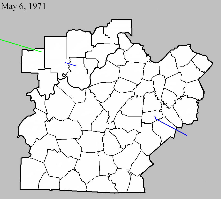
Noted discrepancies: NCDC and Grazulis only list Knox and Daviess counties. The end lat/lon listed at NCDC under the Daviess County entry is actually the end lat/lon given by SPC, in Dubois County. SPC and NCDC give a time of 9:20am, Grazulis has 10:30am, and Storm Data says 10:07am. SPC and NCDC list one injury, Grazulis lists four. According to Storm Data the tornado touched down six miles south of Lawrenceville, Illinois, and then moved on to the northern and eastern edges of Vincennes, then to eleven miles southeast of Vincennes, Glendale, Monroe City, Cumback, Hudsonville, Hayesville (Dubois County), and the tornado lifted at the Purdue Research Farm near Cuzco (Dubois County).
May 6, 1971
Counties: Crawford, Harrison IN
F-scale: F1
Deaths: 1
Injuries: 2
Path width:
Path length:
Time: 10:50am
Grazulis narrative: Moved east-southeast from near Milltown, passing near Depauw and Ramsey. An infant was killed and two people were injured as their trailer was destroyed. There was other F1 damage to the roofs of farm buildings and homes.
Noted discrepancies: SPC and NCDC give a time of 10:50am, Storm Data 11:50am, Grazulis 10:20am. SPC, Storm Data, and Grazulis give a path length of 8 miles, NCDC gives 9. Grazulis has this tornado touch down ten minutes before the previous one (listed above). This seems odd, since the tornadoes were moving to the southeast, and Crawford and Harrison counties are directly southeast of Knox and Daviess counties. Looking at the map it seems more logical that the Knox/Daviess tornado would be first, followed by the Crawford/Harrison tornado.
May 6, 1971
Counties: Boyle and Lincoln (and on into Rockcastle)
F-scale: F1
Deaths: 0
Injuries: 0
Path width: 33 yards
Path length: 34 miles (skipping)
Time: 1:55pm EST
Notes: Tornado touched down on the northwest side of Danville. It initially moved south, damaging a farm south of town on Hustonville Road. A number of roofs were removed and walls blown out along the path through Danville. Boyle County Stockyards lost roofs. There was about $250,000 (1971) damage done in Danville. Funnels were sighted by the public. Winds in Danville were estimated at over 100 mph. Moving into Lincoln County, two barns were destroyed. At Stanford the sky was "filled with debris" and funnels were again sighted, along with scattered damage. The tornado then proceeded into Rockcastle County, doing additional damage at Wildie.


 Weather Story
 Weather Map
 Local Radar
 Follow us on YouTube