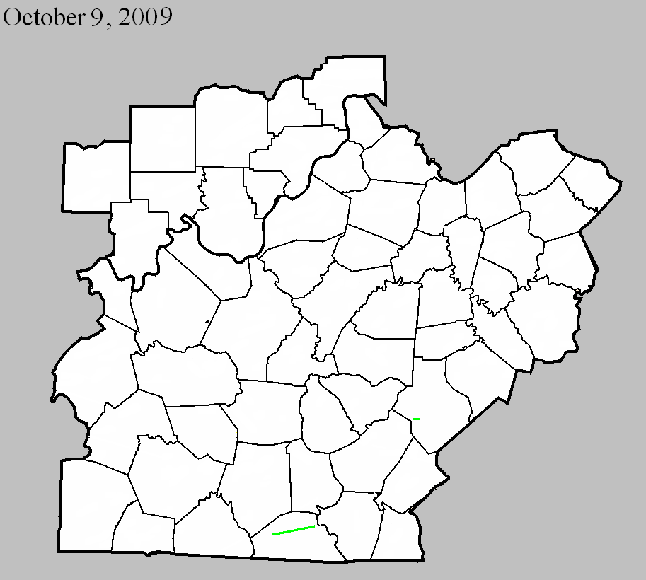
Louisville, KY
Weather Forecast Office
October 9, 2009
County: Breckinridge
EF-scale: EF0
Deaths: 0
Injuries: 0
Path width: 100 yards
Path length: 0.5 mile
Time: 2:20am - 2:21am CDT
Notes: Several mobile homes were damaged and trees were snapped on Lyons-Daughtery Road. Two barns were destroyed.
October 9, 2009
County: Monroe
EF-scale: EF2
Deaths: 0
Injuries: 0
Path width: 880 yards
Path length: 15.6 miles
Time: 1:20pm - 1:36pm CDT
Notes: This tornado touched down near Flippin and inflicted EF-1 damage on trees between Flippin and Mud Lick. After Mud Lick the tornado strengthened and damaged homes, barns, and trees on its way to Rockbridge.
October 9, 2009
County: Casey
EF-scale: EF2
Deaths: 0
Injuries: 0
Path width: 95 yards
Path length: 1.5 miles
Time: 2:36pm - 2:38pm EDT
Notes: Several structures were badly damaged as the tornado moved along KY 70 from Elm Drive to KY 206.
Current Hazards
Hazardous Weather Outlook
Storm Prediction Center
Submit a Storm Report
Advisory/Warning Criteria
Radar
Fort Knox
Evansville
Fort Campbell
Nashville
Jackson
Wilmington
Latest Forecasts
1-Stop Severe Forecast
1-Stop Winter Forecast
1-Stop Drought
Event Ready
El Nino and La Nina
Climate Prediction
Central U.S. Weather Stories
Nationwide Weather Stories
Aviation
Spot Request
Air Quality
Fire Weather
Recreation Forecasts
Past Weather
1-Stop Climate
Climate Graphs
CoCoRaHS
Daily Temp/Precip Maps
Local Climate Pages
Past Derby/Oaks/Thunder Weather
Tornado History
Football Weather
Local Information
About the NWS
Forecast Discussion
Decision Support Page
Hazardous Weather Outlook
2024 Eclipse
Spotter Training
Regional Weather Map
Text Products
Science and Technology
Outreach
LMK Warning Area
About Our Office
Station History
Local Climate Page
Tornado Machine Plans
Items of Interest
Weather Enterprise Resources
US Dept of Commerce
National Oceanic and Atmospheric Administration
National Weather Service
Louisville, KY
6201 Theiler Lane
Louisville, KY 40229-1476
502-969-8842
Comments? Questions? Please Contact Us.