National Weather Service United States Department of Commerce
Click a location below for detailed forecast.

Last Map Update: Tue, Apr. 23, 2024 at 5:03:52 am CDT
National Weather Service Pueblo, CONational Weather Service Amarillo, TXNational Weather Service Norman, OK
National Weather Service Albuquerque, NMZoom
Out

National Weather Service Fort Worth/Dallas, TX
National Weather Service El Paso, TXNational Weather Service Midland/OdessaNational Weather Service San Angelo, TX

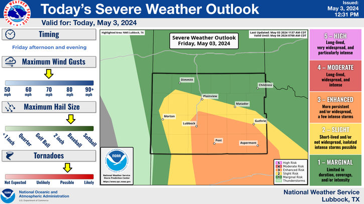
Temperatures will soar well into the 80s, with even a few lower 90s possible, this afternoon. A weak cold front will sag into the area from the northeast, and in combination with a dryline, could serve as a focus for isolated thunderstorm development during the mid-late afternoon. A storm or two could strength to severe levels, bringing with it the potential for large hail, damaging wind gusts, cloud to ground lightning and brief downpours. Overall storm coverage will be low, so most locations will remain dry.
As a cold front moves south into the area it may trigger the development of a thunderstorm or two this afternoon and evening, which could become strong to severe. The greatest storm chances (around 30%) will be across the southeast Texas Panhandle and Rolling Plains after 4 pm. Large hail, damaging wind gusts, cloud to ground lightning and brief downpours will accompany the most intense activity, though coverage will be limited.
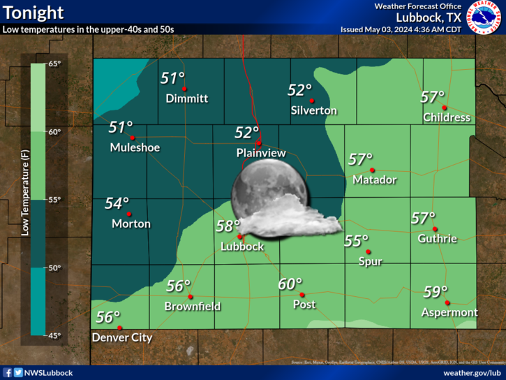
Cloud cover will increase from north to south late tonight. This will only allow temperatures to drop into the 50s for most locations.
A dryline will sharpen near the I-27/US-87 corridor by Thursday afternoon. Instability along and ahead of the dryline should be sufficient for scattered strong to severe thunderstorms to develop and move to the northeast. Large hail and damaging wind gusts are the primary threats.
Warm temperatures will be the theme through the rest of the week and on into the weekend. Highs will generally be in the 80s the next five days, even flirting with 90 on Tuesday. In addition, there will be a few opportunities for thunderstorms in and near Lubbock, including Tuesday afternoon/evening, Thursday evening/night and Saturday afternoon/evening. Even better storm chances will exist farther east, off the Caprock, each of those days, along with a slim chance of storms on Wednesday too. It is spring, so if/where storms develop, there will be a chance of severe weather. Currently, Thursday and Saturday are favored for the best chance for scattered severe thunderstorms. Stay tuned!


Local Weather History For April 23rd...
1980: An intense upper air cyclone drew closer to West Texas this afternoon resulting in several strong storms from the
northern TX Panhandle south to the Permian Basin. In the South Plains, nearly four inches of rain fell in less than one
hour in Tahoka causing flash flooding. Some cars were stranded under some of the HWY 87 overpasses requiring high-water
rescues. Water was reported in one home and some residences.