South Plains Area Rainfall - July 25-29 2004
For most of the South Plains, Rolling Plains, and extreme Southern Panhandle, rainfall was plentiful during the last week of July 2004. Although a few locations remained dry including the Southeast Panhandle and spotty parts around the Southwest Panhandle and Northwest South Plains, other areas were not only wet, but were literally washing away.
If a contest was being held for the most rain, Jayton would definitely be the winner with over 10 inches, most of it Falling Wednesday morning (July 28, 2004) between 5:00 AM and 9:00 AM. Jayton was just part of band of extremely heavy rain that stretched form Tahoka and O'Donnell eastward through the Brazos River Valley across locations like Post, Lake Alan Henry, White River Lake, Jayton, Aspermont, and Guthrie.
Runoff pouring out of a field near Jayton Wednesday (July 28, 2004) around noon
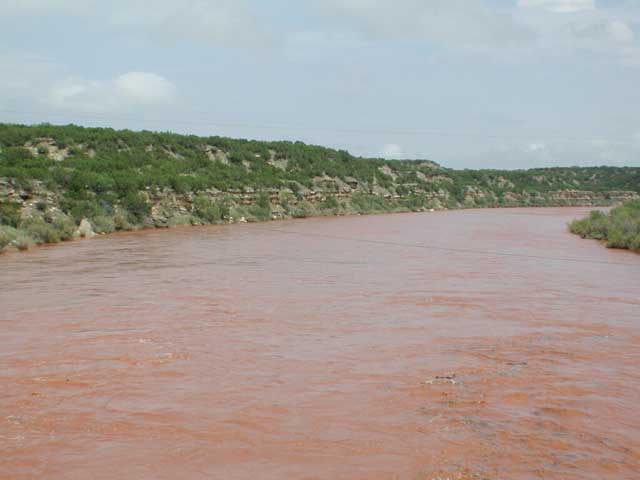
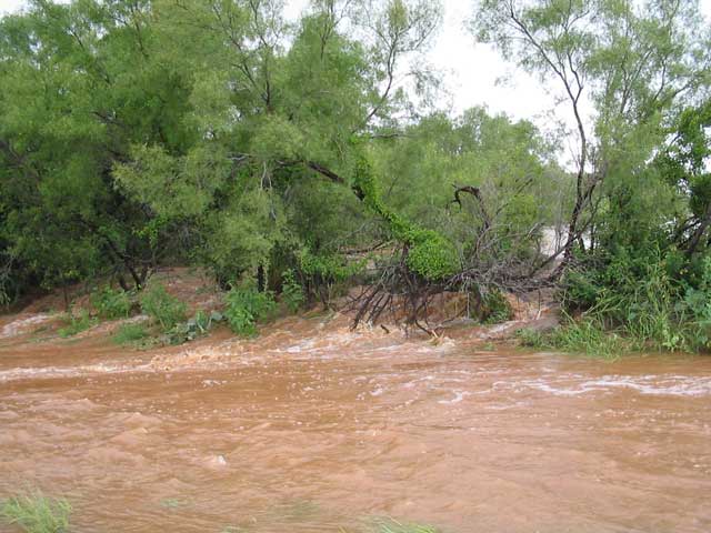
Flood waters flowing down the Salt Fork of the Brazos River east of Jayton and north of Aspermont on Wednesday afternoon (July 28, 2004).
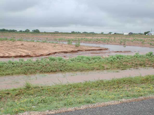
Field near Jayton where water washed out a land terrace.
LAKE ALAN HENRY
Of special interest to area boaters and water enthusiasts, Lake Alan Henry filled up considerably during the past week and is now nearly full. During this event, the lake rose nearly 4 feet and is now only 2 feet below the lake's design spillway. It captured an estimated 11,000 acre-feet of water, or around 3.5 billion gallons. When the lake reaches a pool elevation of 2220 feet above mean sea level, it will be holding around 116,000 acre-feet of water and water will begin spilling through the design spillway for the first time since it's construction was completed in 1994. The dam and design spillway are shown below.
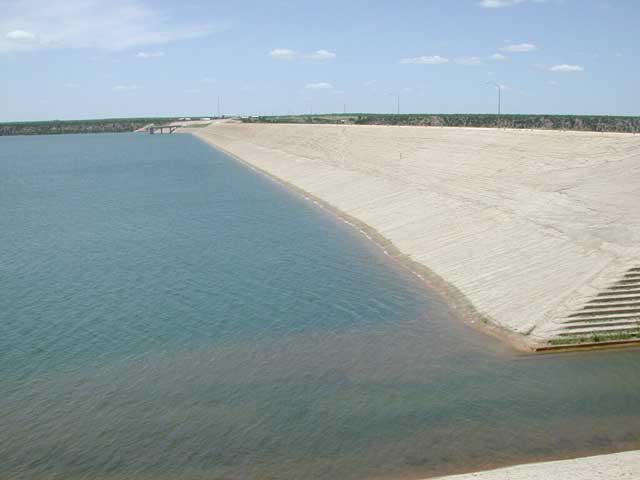
Looking north along the dam (above).
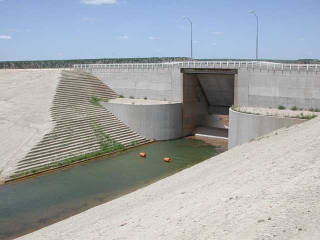
The design spillway at the south end of the dam (above).
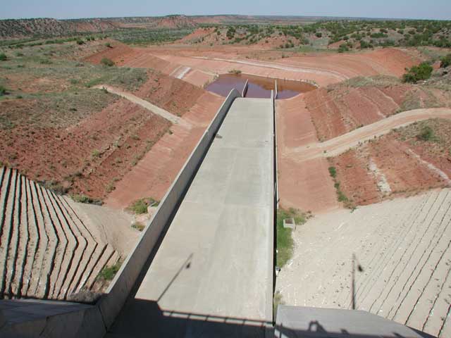
Backside of the spillway (above).
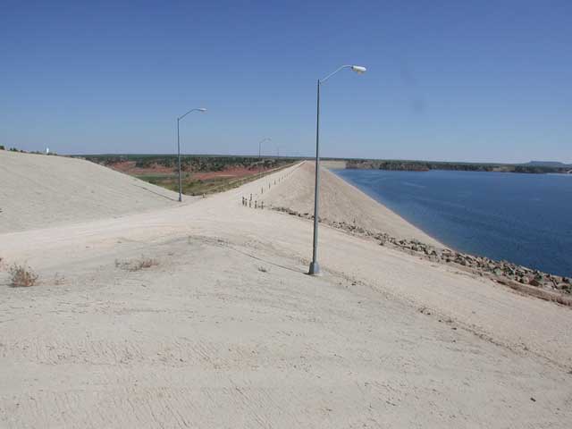
View of dam from the north end.
For trivia experts, how far will 3.5 billion gallons go? Well on average this summer, Lubbock has been using 40 to 50 million gallons per day. At that rate of consumption, 3.5 billion gallons would last only 70 to 90 days. When you consider evaporation and how infrequently rainfall of this intensity occurs, one can start to imagine how thirsty a city like Lubbock is.


 Follow us on YouTube